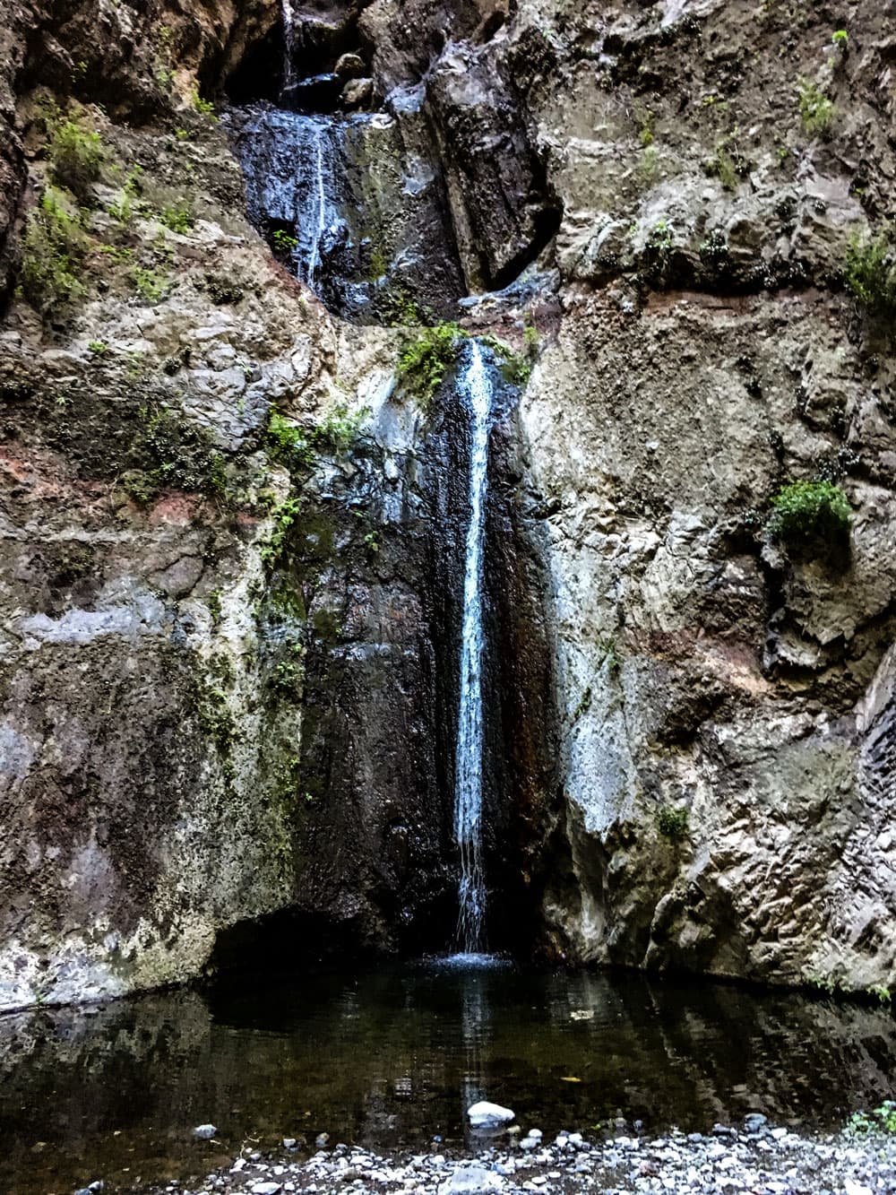
Reserva Natural Especial Barranco del Infierno
The Barranco del Infierno (Hell Gorge) is located in the southwest of Tenerife near Adeje. Just behind the popular Masca Gorge it is one of the most popular destinations for many tourists. The Barranco del Infierno is easy to walk on.
Map
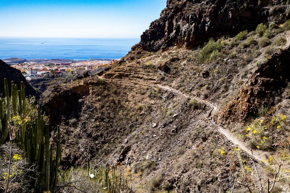
hiking trail Barranco del Infierno with view to the Atlantic and Adeje
But it does not only offer an impressive waterfall of 80 meters height at the end of the gorge. The unique landscape of the Barranco del Infierno is especially protected by the nature reserve Reserva Natural Especial del Barranco del Infierno.
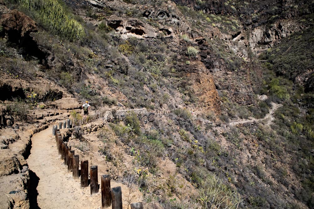
hiking path Barranco del Infierno
In the ravine around the Barranco del Infierno archaeological finds prove that the aborigines, the Guanches, already lived there. The waterfall and its water in the Barrancobett is said to be the only year-round flowing water in Tenerife. This is why the Spaniards later channelled the water from the gorge and used it for the nearby villages. They laid out terraces and cultivated agricultural products in the Barranco del Infierno.

Panorama Barranco del Infierno
Barranco del Infierno reopened in 2016
The gorge was closed for years after an accident in 2009. For the first time in 2011/2012 I came to the Barranco del Infierno, which was still quite wild at that time. When I wrote an article on Noticias7, which no longer exists today, I received countless requests from readers. For years, hikers hoped that the gorge would be reopened. In May 2015 it was finally so far and the access was again officially permitted. But on 26 October 2015, a rockfall caused another fatal accident. The Barranco del Infierno was closed again.
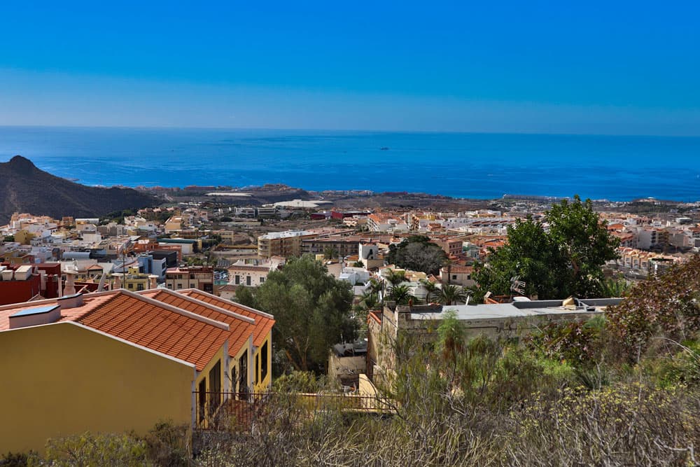
view down to Adeje and the Atlantic
Since 2016 the gorge is open again almost daily from 08:00 to 14:30. But access is only possible for a limited number of 300 visitors per day. Admission must be paid. And it exists helmet obligation. Advance reservation is therefore strongly recommended. In the comparison of the two track pictures you also see that today you can’t walk as far behind the waterfall as you did back then.
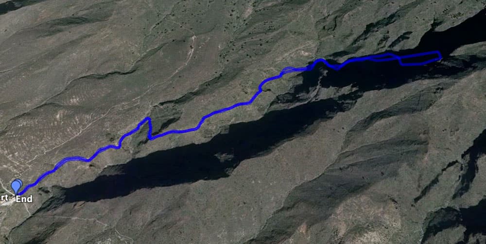
Track Barranco del Infierno 2018
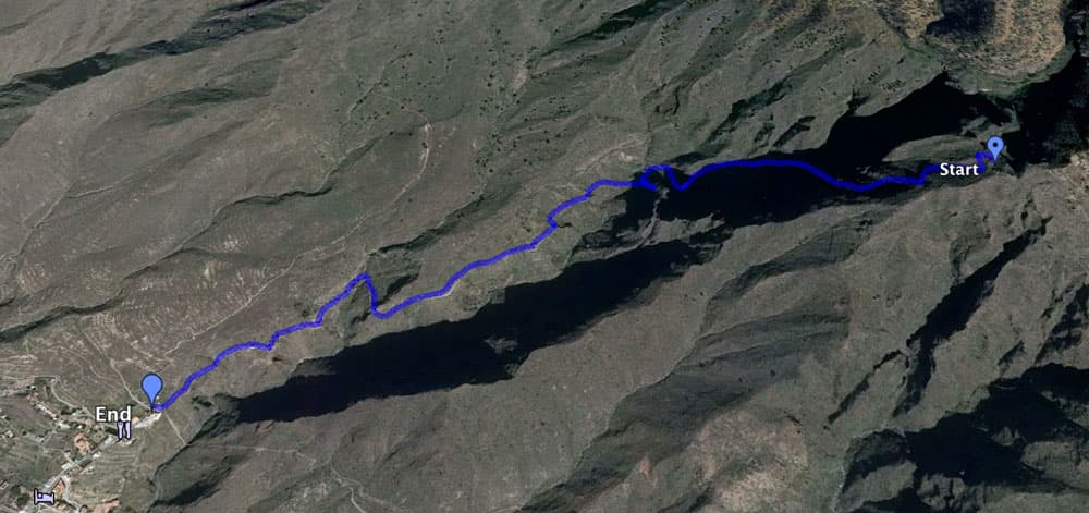
Track Barranco del Infierno (alt)
General information about the hike Barranco del Infierno
Starting point and approach
The starting point is the upper edge of Adeje at the end of Los Molinos street next to Otelo Restaurant. The hiking trail from Adeje to Ifonche also starts there. Arrival by car
You come via the TF-1 motorway and take the Adeje exit. Then you head north/mountain and drive into the village of Adeje. Parking is available in the village and on the streets. You will probably have to walk a few minutes to the starting point up in Calle Los Molinos.
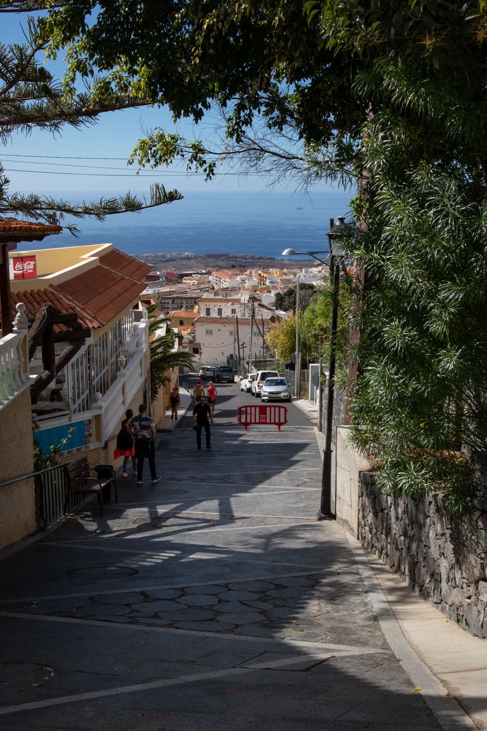
View from the entrance Barranco del Infierno
Article summary and large selection of GPS hiking tracks
Sign up for my newsletter now and get exclusive access to my collected GPS tracks as well as all the brief information about my articles.
Sign up nowArrival by bus
The Titsa bus lines 416, 447, 473 and 477 stop in Adeje. Further information can be found on the Titsa Homepage. Time
I don’t like to give general times for hiking tours, because the times are very individual. I was with rest and photo breaks scarcely 2 hours on the way.

Elevation profile Barranco del Infierno
Difference in altitude and distance:
The difference in altitude is about 200 meters and with up and down a bit more gross. The length of the route is about 6 kilometres with the way there and back. Don’t let the jagged elevation profile irritate you. These are created by the narrowness of the gorge and the steep rock walls surrounding it.
Requirement
The excursion to the Barranco del Infierno is really a very easy hike – really almost a walk on very well laid out paths.
As of December 2018: Due to the limited number of 300 visitors per day, advance booking is highly recommended. The Barranco del Infierno is open from 8.00 to 14.30 o’clock. The entrance fee for adults is € 8.50 for visitors, € 4.50 for residents, € 2.50 for residents of Adeje and 50% for children. Helmets are compulsory. These are provided with a safety instruction free of charge. Hiking boots and poles can be rented for a fee.
Dog in the Barranco del Infierno – today forbidden
Also dogs are forbidden today by the way in the Barranco del Infierno. Also valid for cats 🙂 . Such a luck that my dog already saw the Barranco del Infierno years ago :-).
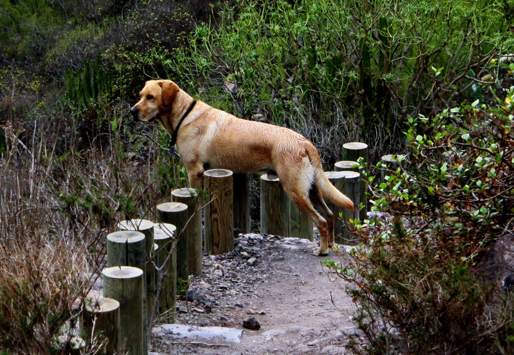
Lasko Labrador in the Barranco del Infierno - nowadays no more possible
Tickets, contact and further information: www.barrancodelinfierno.es. 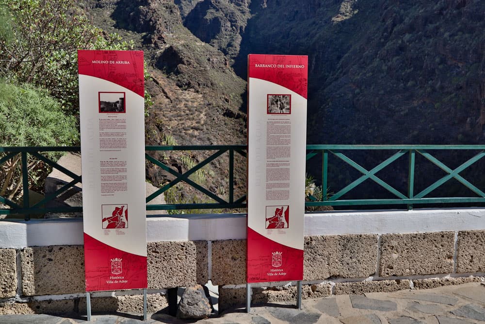
Information boards in the entrance area
Refreshment
There are restaurants, bars and shops in Adeje – also close to the starting point. Since there is also enough water in the Barranco del Infierno, it might not be so bad with this small tour, if you forget your water for on the way.
Variants
This tour can be combined well with various other hiking and circular walks in the vicinity. A nice high-altitude hike that starts at the same starting point is the tour from Adeje to Ifonche. If you still have enough power and desire after the Barranco del Infierno, this fine high-altitude hike is just the thing for you. 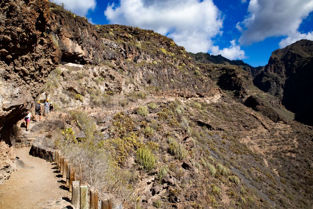
hiking path - Barranco del Infierno
Hike in the Barranco del Infierno
Article summary and large selection of GPS hiking tracks
Sign up for my newsletter now and get exclusive access to my collected GPS tracks as well as all the brief information about my articles.
Sign up nowBarranco del Infierno – well-secured starting point for your hike
The hike to the waterfall in the popular gorge, the Barranco del Infierno, starts in the upper part of the town of Adeje. At the end of the village road is the Otelo restaurant, which offers a magnificent view of the gorge from its terrace. The hiking trail starts right next to the restaurant. The times when visitors slipped through the holes in the fence are over. In contrast to all other walks, here at Barranco del Infierno you first have to make a reservation, wait until it is time to listen to safety instructions and put on a helmet.
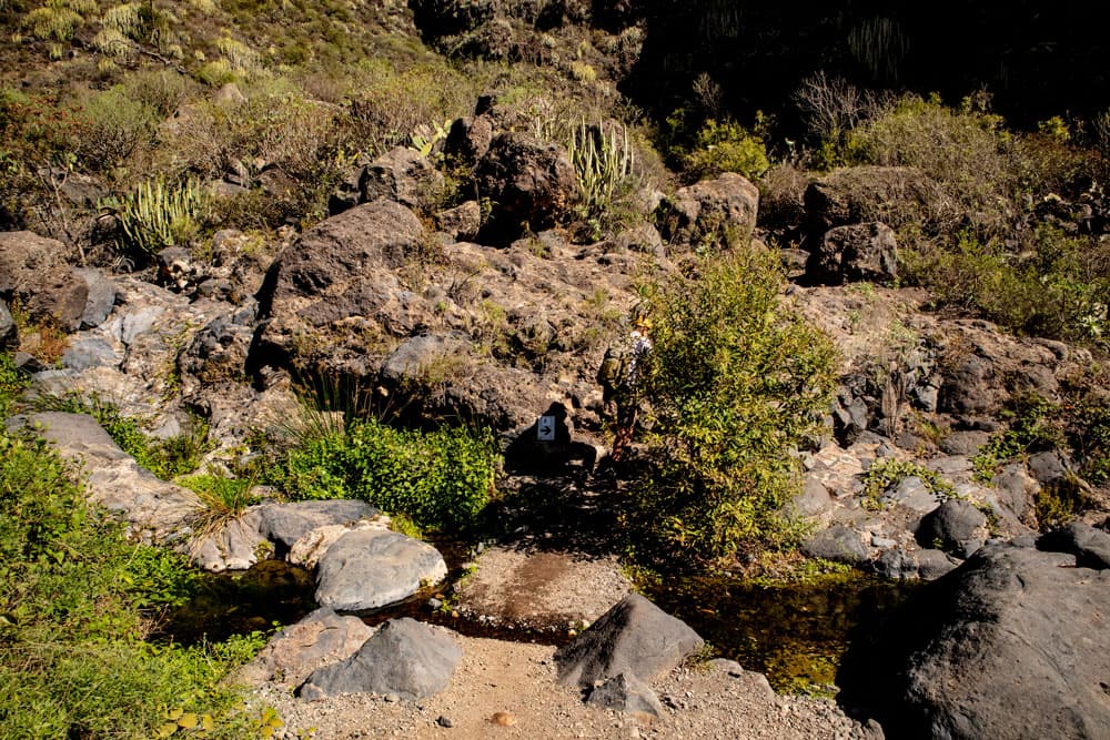
stones, bushes and a well maintained footpath
But then we’re ready to go. Once around the ticket office and through the entrance gate. No further directions are needed here, because you won’t miss the way. There is only one way of approx. 3 kilometers length, which will lead you up to the waterfall. And on exactly this way you also return. All paths through the luxuriant nature are well secured with wooden bollards and stones. Immediately after entering the Barranco, the path, which initially winds along the mountain, is easily visible.
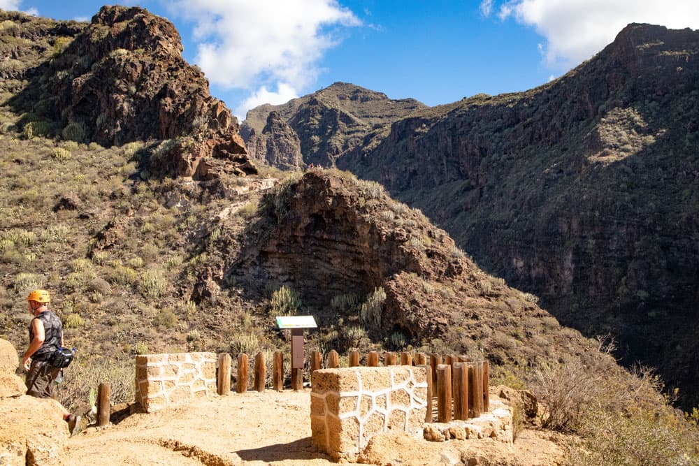
Mirador and rest place
Hike through lush nature along water channels
You walk along the slope of the left Barranco side and it goes straight ahead and from time to time uphill in an arc. To the right of you is Barranco Grund. You will find informative boards everywhere with detailed explanations of flora and fauna around the Barranco del Infierno. And from time to time there are beautiful viewing terraces. After some time you will find water channels on your right. These were used to channel the water from the canyon to the neighbouring villages. Other remains of ancient human activities are terraced gardens on the steep slopes. Today they are a bit wild and adapt well to the surrounding green vegetation on the steep slopes of the gorge.
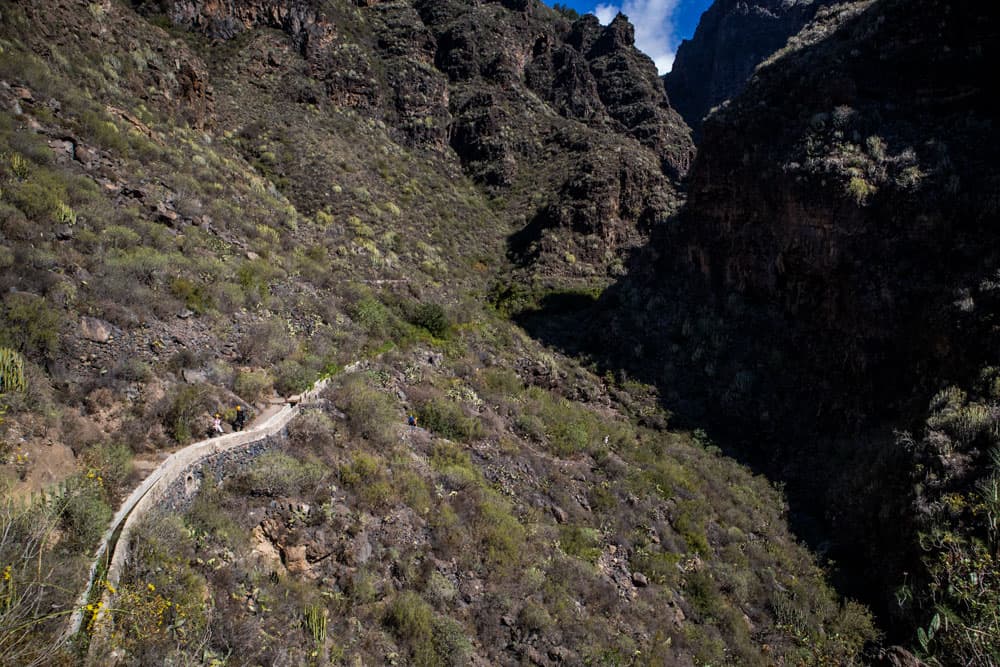
waterchannel
It’s true that it’s always over 200 metres uphill to the waterfall. Nevertheless, many moderate sections of the route are without steep climbs on the tour and already after a three-quarter of an hour hike you reach the stream bed. Now you can no longer look from the height into the Barranco Grund, but walk along the bushes and lots of green through the Barranco bed. The gorge becomes narrower and narrower. And the rocks next to and in front of you rise high up. The path changes sides several times. The vegetation becomes more and more luxuriant along the way.
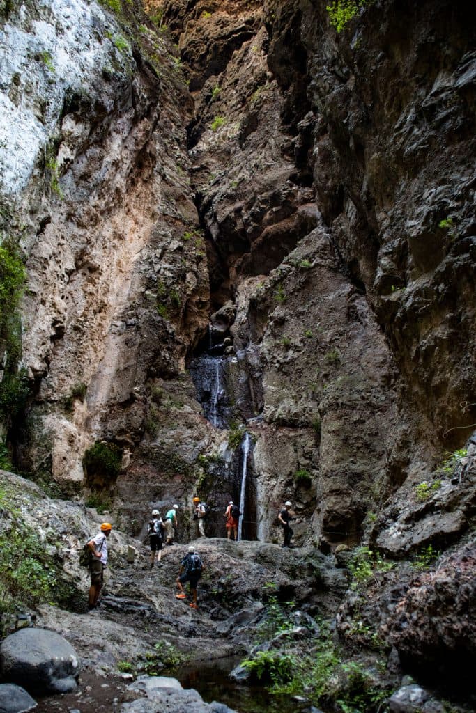
waterfall Barranco del Infierno
In the narrow part of the gorge
From time to time you will cross small bridges which, with their wooden planks, blend naturally into the landscape. The Barranco del Infierno becomes narrower and the closer you get to the waterfall. If you have started in the sunshine, you are now in the shade. Because of the danger of falling rocks, it is forbidden to linger or rest in this last section of the route. You should therefore postpone a picnic to the first half of the trail.

Panorama Barranco del Infierno
If you arrive at a time when the water is abundant, you can already hear the sound of the waterfall from a distance. You walk under shady trees along the bed of the stream. Sometimes it’s a little uphill again. From time to time you change the side of the stream and cross the water on stones or small bridges. The vegetation at this point reminds partly of a jungle and is actually quite atypical for the otherwise barren south of the island. Even blackberry bushes grow into the path.
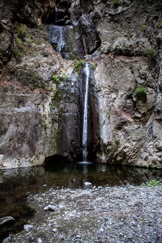
waterfall
At the waterfall
After a good hour’s walk you will be standing right in front of the waterfall. A dark and impressive place. Here the rocks rise steeply into the sky on three sides. High up is a little light, which spreads an almost mystical atmosphere with its few rays that penetrate down to you. If you like, you can take a look around on the rocks. Unfortunately, cooling your feet in the cool water is no longer possible today – as it used to be. Even if the way back is the same, the change of direction alone gives new impressions.
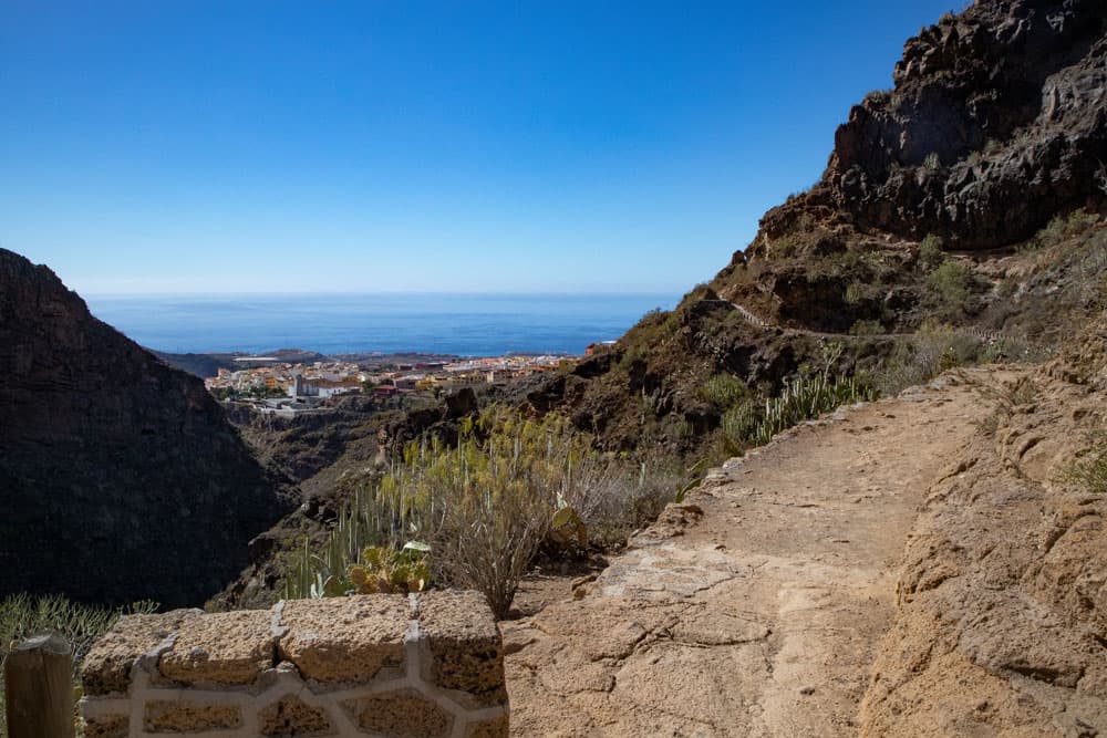
View from the path to Adeje
And finally
I hope you enjoyed the little walk through the Barranco del Infierno. If it was just a short walk for you, then walk quietly from Adeje towards Ifonche. From there you can see the Barranco del Infierno from the top. Much joy with the moving wishes you
Dagmar von SiebenInseln


