La Palma - Isla Bonita and Verde
La Palma is called La Isla de San Miguel de La Palma by its full name. The island with the long name is the most northwestern of all the Canary Islands. The capital is Santa Cruz de La Palma. And the island is the fifth largest of the Canary Islands. It is also called the Isla Bonita, the beautiful one or also the Isla Verde, the green one.

La Palma - Tazacorte
With over 40% forest cover, it differs from the other Canary Islands in particular by its lush green vegetation. The small island has an area of about 708 km². It is about 45 and 27 kilometres wide and long. The island is 417 kilometres away from the African mainland. About 90.000 inhabitants live on the island. There is less mass tourism. But the big cruise ships also dock today in the harbour of the island.

La Palma - Santa Cruz de la Palma
La Palma - the special volcanic island
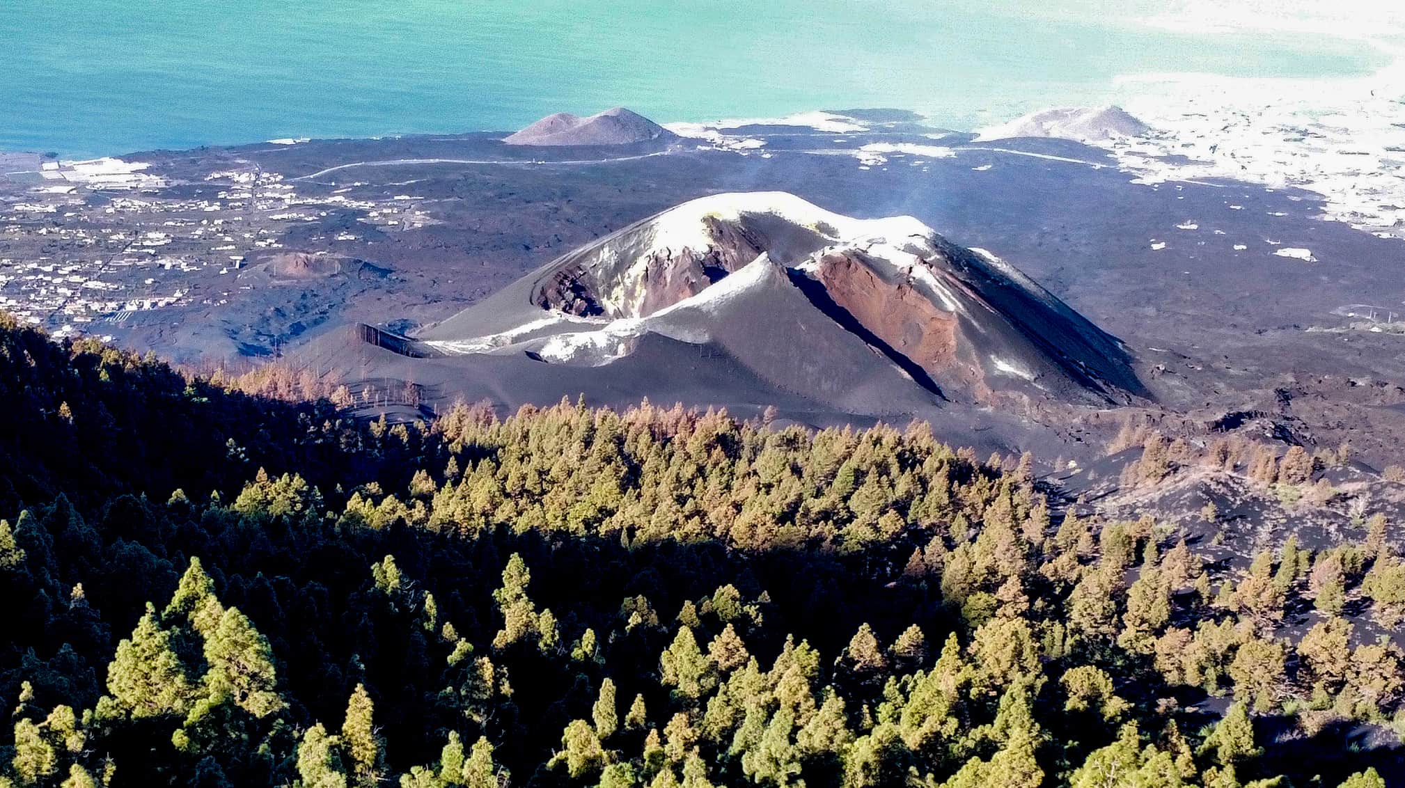
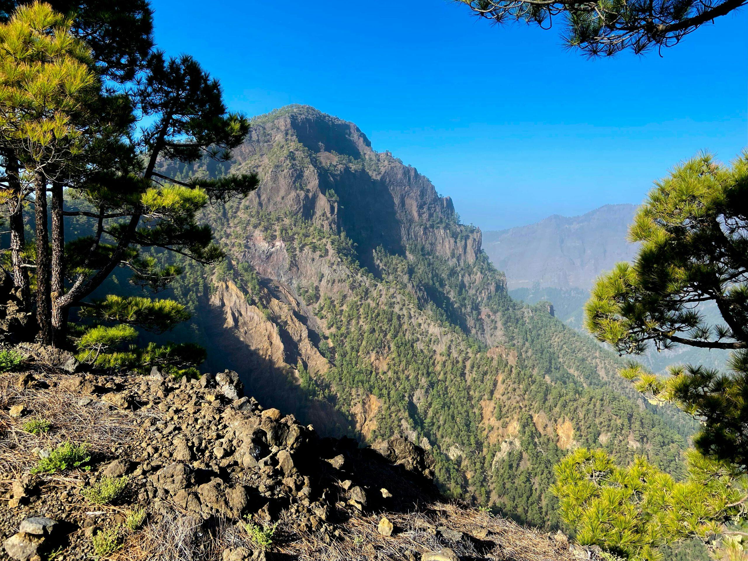
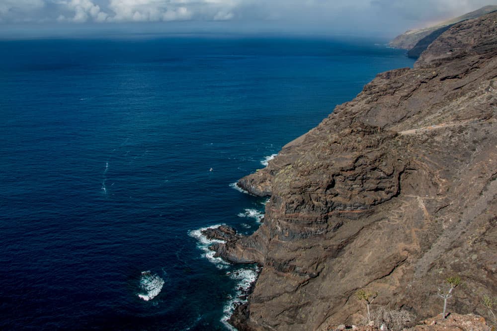
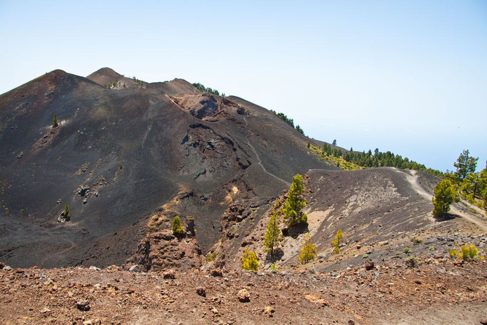
Like all the other Canary Islands, La Palma is also of volcanic origin. But volcanism is omnipresent there. The island itself was built up by three large volcanoes. Today, a huge mountain ridge, half a volcano so to speak, which rises to over 2000 metres above sea level, divides the island into two climatically different halves. The penultimate volcanic eruption that created the Teneguía volcano took place in 1971. The last volcanic eruption now lasted from September 2021 to December 2021. In addition to volcanic eruptions, earthquakes and seaquakes frequently occur on La Palma - as on the other Canary Islands. The last seaquake was registered on La Palma in 2017.

La Palma - Vulkan San Antonia
Over 20 years ago, British geologists developed a volcanic eruption theory for La Palma. According to this theory, a volcanic eruption on the island could cause a tsunami with effects as far as London and New York. Starting point of the assumption are investigations of geologists. They found that the Cumbre Vieja is saturated with water inside and has vertical layers of porous volcanic rock. The scientists suspected that this huge flank of La Palma could one day slip into the sea and cause an enormous tsunami. Hopefully, this will take a few more millennia.

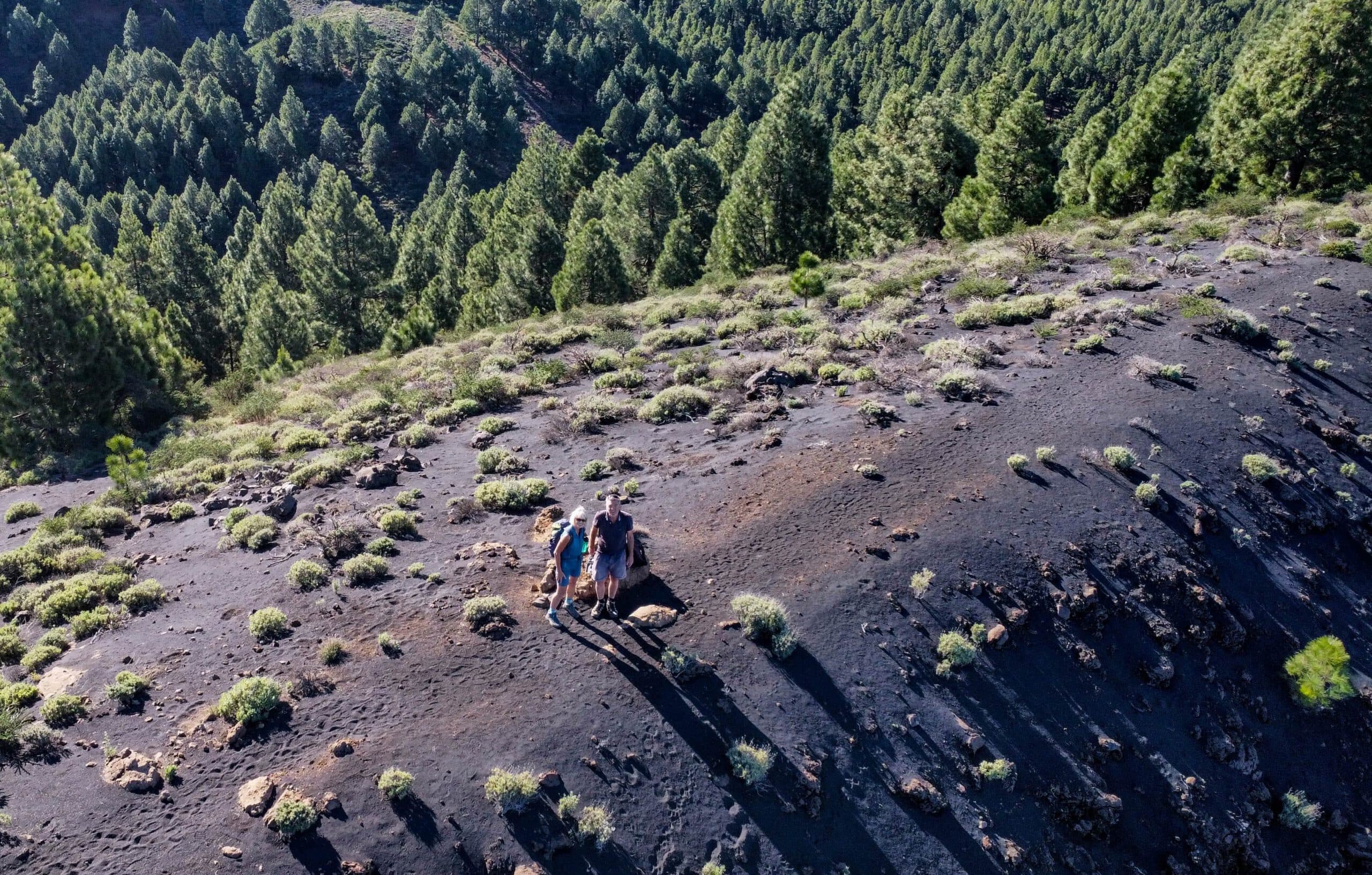
Ruta de los Volcanes - La Palma
Climate and vegetation
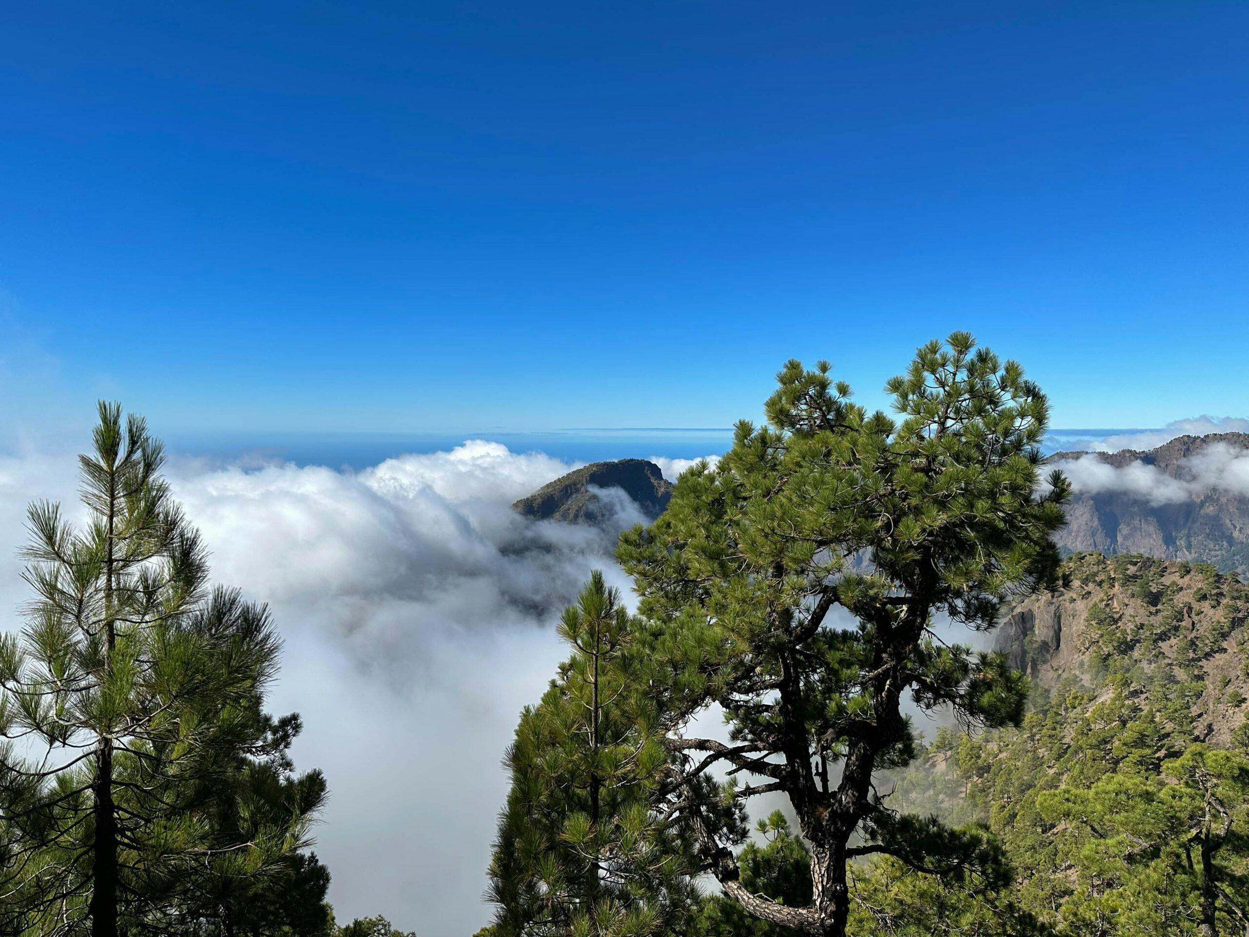
The year-round mild climate of the island hardly differs from that of the neighbouring islands of Tenerife, La Gomera and El Hierro. It is dominated by the trade wind clouds and the Canary Islands current. The trade wind clouds rain in the northeast, while the southwest of the island is rather dry. But even if the trade wind clouds do not rain down, they remain on the island as so-called cloud water. Due to the large stock of Canarian pines, the clouds "hang" on the trees as fog condensation. The long needles of the Canary pines ensure that the water can drip off into the ground. It is then stored in the soil. And it is impressive to look at when huge masses of clouds roll like a roller over the crest of the Cumbre and then dissolve in the west.

The temperatures on La Palma are mild all year round, but vary considerably from the east or west location as well as the altitude. While at the coast it can have more than 20 degrees, 1000 meters higher it can be cool 10 degrees. Due to the differences in altitude on La Palma, the island is divided into five vegetation levels (coastal zone, laurel forests, tree heath, pine forest and subalpine high mountains).

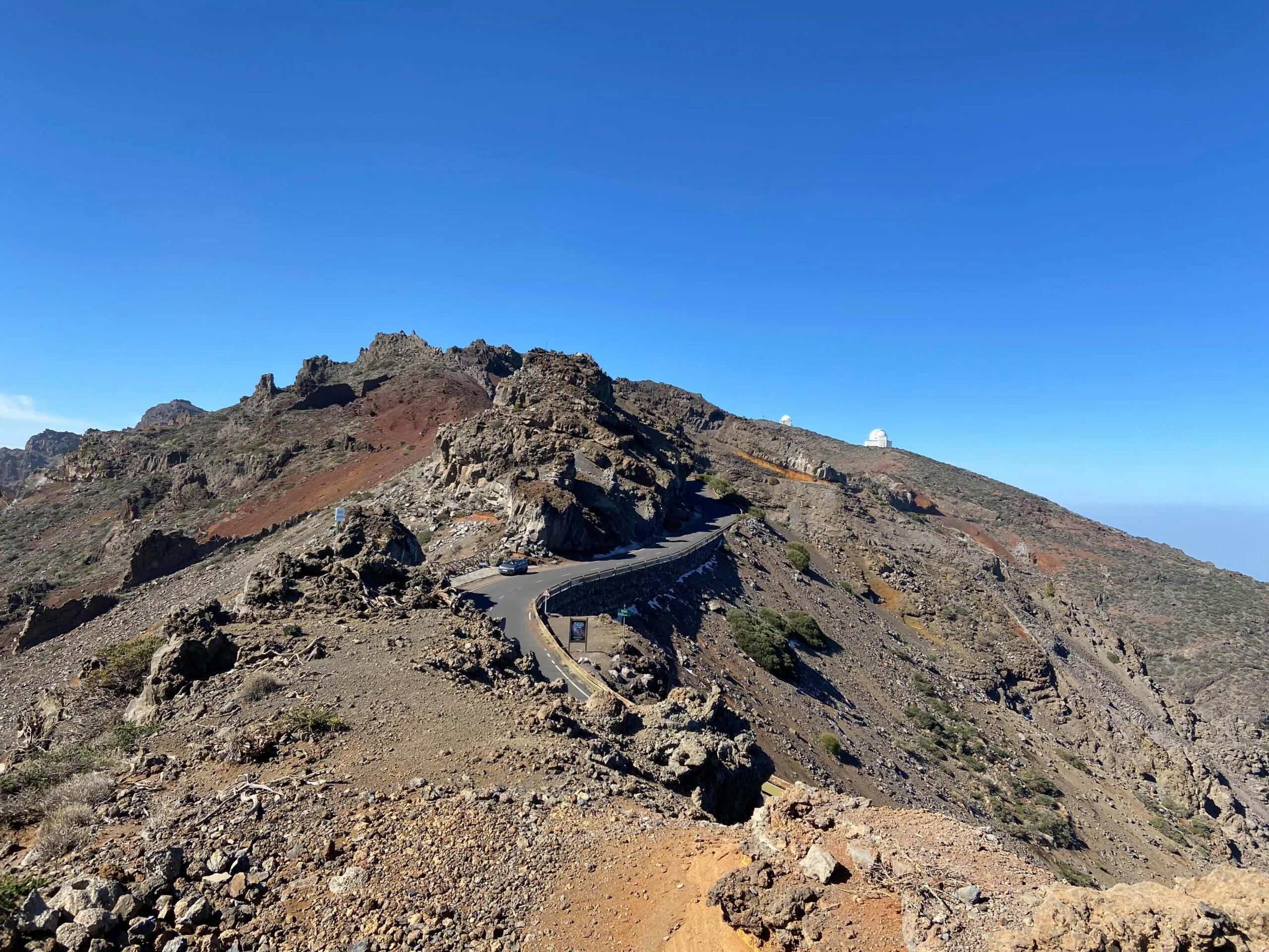
La Palma - Roque de los Muchachos
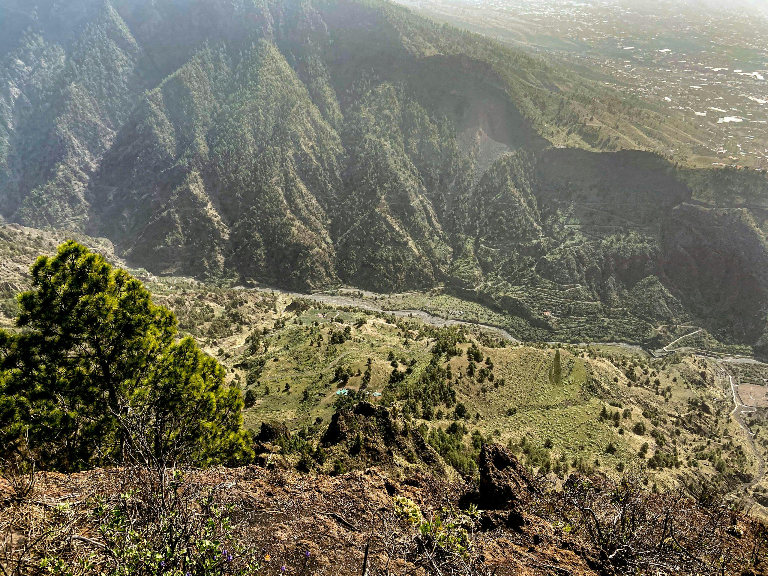
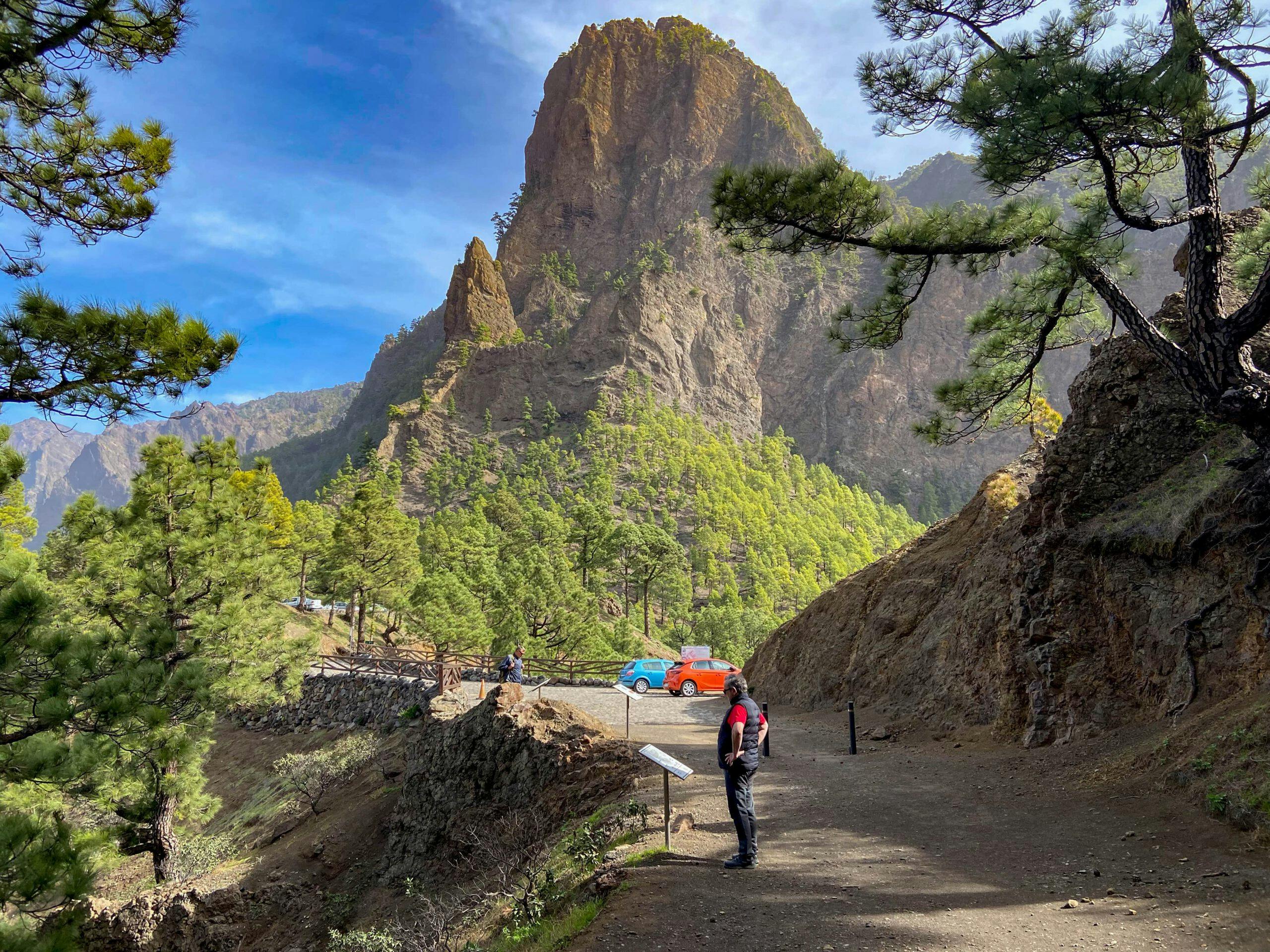
Parque Nacional Caldera de Taburiente and Observatory
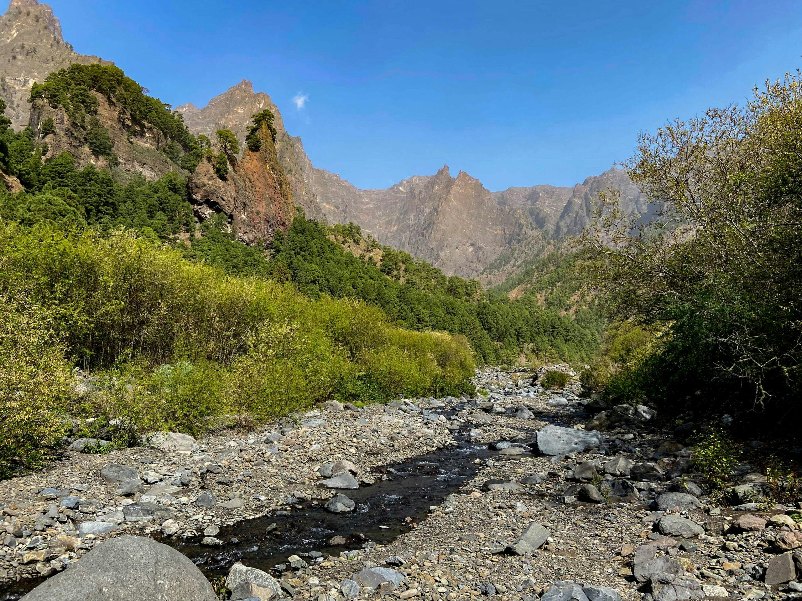
The Caldera de Taburiente National Park was established in 1954 and covers 4690 hectares of protected area. This huge erosion crater has a diameter of nine kilometres and a circumference of 28 kilometres. And this makes it one of the largest and most impressive erosion boilers on earth. The deepest point is about 430 metres and the highest point 2,426 metres above sea level.
This is also the highest point of La Palma, the Roque de los Muchachos. Nearby there is the large observatory for stargazing. On La Palma, the air is so pure that only stargazing without observatory on cloudless nights is the "pure" pleasure. In the national park there is a large visitor centre with many informative documents, pictures and films about the island and volcanism.
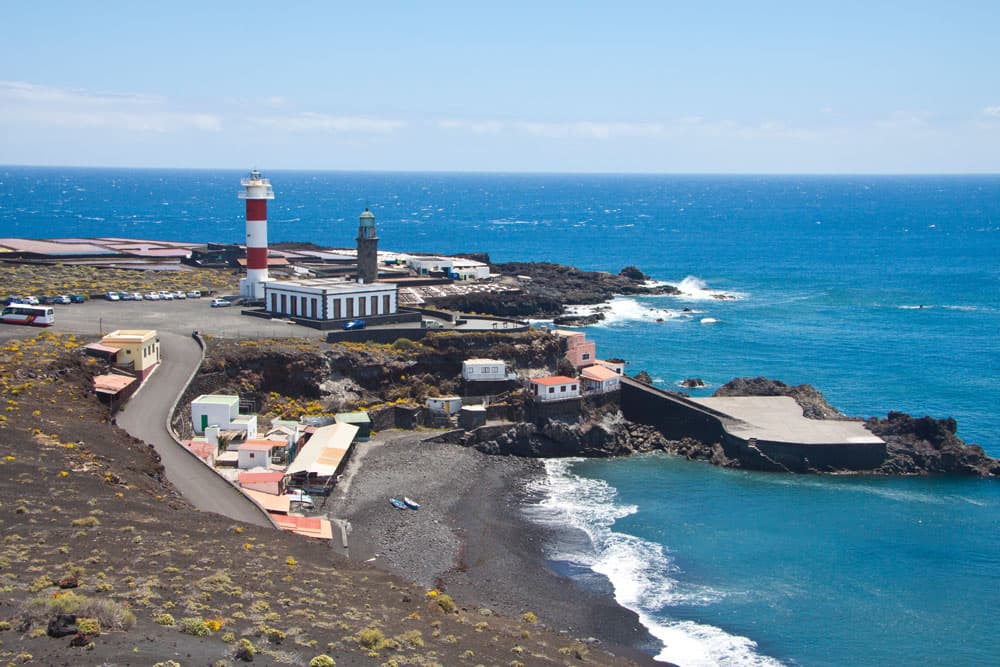
La Palma - Faro de Fuencaliente
Hiking on La Palma
Hiking on La Palma is really an impressive experience around the island. There are no tourist strongholds like on Tenerife and Gran Canaria on the small green island. Here, the individual tourism is very important. You can hike almost everywhere on La Palma. But the parade tour of the island is the Ruta de los Volcanes. Here is the place of the famous Ultra Marathon Transvulcania takes place every year. On the volcano route you always hike close to the mountain ridge with wonderful views in all directions from one volcano to the next.
The hiking tours in the south combine high peaks, volcanoes and the coast. However, the centre of all hikers is the national park Caldera de Taburiente described above. In and around this area you will find endless possibilities for hiking and a fabulous nature awaits you. There really is something for everyone.