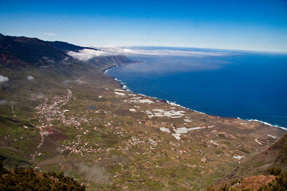
The path is currently closed due to rockfall (as of March 2024).
Table of contents
Mirador de Jinama – a fantastic viewpoint
Map
The Mirador de Jinama is only one of the 25 well invested Miradors that can be found all over El Hierro. From these viewing terraces there are great views around the island to enjoy. Especially known is the Mirador de La Peña, that was designed by César Manrique, the artist from Lanzarote.
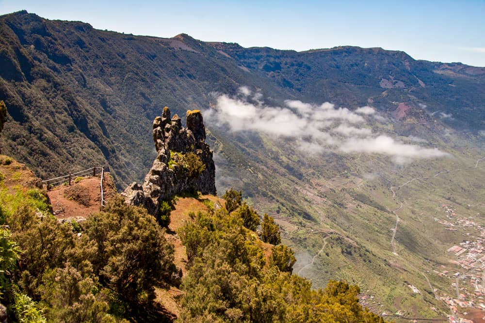
View from Mirador Jinama
As El Hierro has impressive cliffs and abyss edges on both the east and the west side, it is worth looking down from the Miradors.
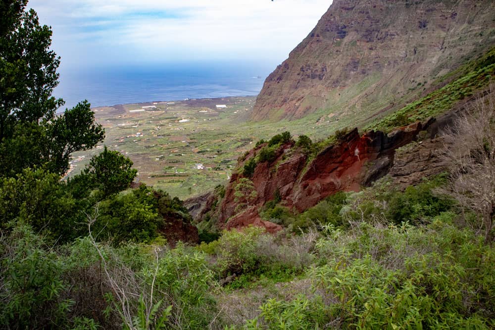
Barranco in front of the steep face
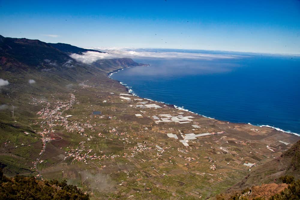
In the east of the island you can mostly look directly down to the Atlantic Ocean or with a narrow strip of land in front of it. In the west, however, the abyss to El Golfo Valley is located like a large semicircle around a crater. There you look from the height down to the wide plain and the western Atlantic coast. And on this edge to the El Golfo valley there is also the Mirador de Jinama.
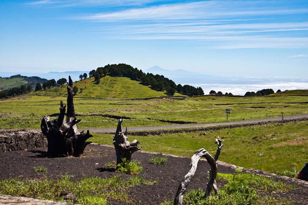
plateau in front of Mirador Jinama
Mirador de Jinama – a short but strenuous hike
The hike to the Mirador de Jinama is quite short, but not very strenuous. The paths are safe and well laid out, but very steep from the El Golfo valley to the top. Accordingly, the descent on the same path is quite steep and not only pleasant. But for all these efforts, the really fantastic views on the way and even more from the Mirador de Jinama compensate.
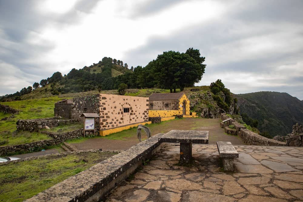
Mirador de Jinama
The Camino de Jinama was built as a trade and connection route between the village of San Andrés on the Nisdafe plateau and the El Golfo valley. It is well maintained and safe to walk on. Another well-known connecting and hiking path from the valley to the top, the Camino de La Peña to the Mirador de La Peña, has not been accessible for years. It has sunk in large parts and has not been maintained. A reopening is not in sight at the moment (December 2018).
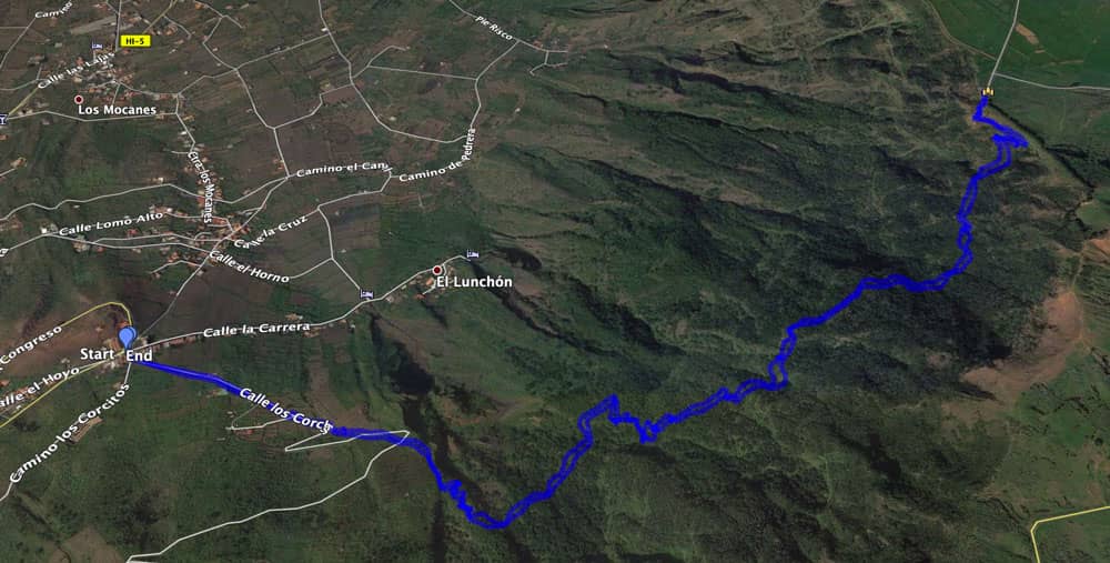
Track of the hike Mirador Jinama
General information about the hike Mirador de Jinama
Starting point and approach
Church square in front of the small church in La Frontera. There is a large hiking sign (355 metres above sea level) pointing to the Camino de Jinama.
Approach by car
You drive on the HI-1 either through the tunnel into the El Golfo valley and then follow the signs to La Fontera. Or you can come from the height over the HI-1 into the valley. The HI-1 goes right past the church. Already from a distance you can see the lonely bell tower on the volcano cone, which is the landmark of the El Golfo valley. There is ample parking around the church square and at the roadsides of the intersecting streets.
Arrival by bus
Article summary and large selection of GPS hiking tracks
Sign up for my newsletter now and get exclusive access to my collected GPS tracks as well as all the brief information about my articles.
Sign up nowTime
I don’t like to give general time information for hiking tours, because the times are very individual. For this tour I needed with some photo stops and a long rest at the Mirador almost exactly 4 hours.

elevation profile Mirador Jinama
Difference in altitude and distance
The difference in altitude is almost 900 metres. The length of the route is just 4.4 kilometres (8.8 kilometres there and back).
Requirement
If you are fit enough for the very steep ascent, it will be an easy hike. The paths to the Mirador de Jinama are wide and well maintained, not to be missed and never exposed. It can get slippery on the rocks just in case of rain or storm.
Refreshment
There are restaurants, bars and shops only in the starting place La Frontera. Therefore take enough water and food with you.
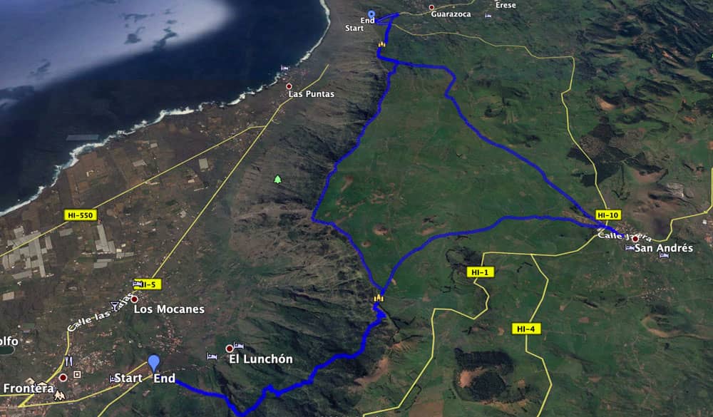
Tracks of the hikes from Mirador Jinama zum Mirador de La Peña and to San Andrés
Variants
If this tour is not enough for you, the hike up to the Mirador de Jinama can be extended with other hikes. Thus, from the Mirador de Jinama, hiking trails lead directly to San Andrés or to the Mirador de La Peña.
It is also possible to walk all the way from the coast (La Maceta) on the PR EH 8 path to La Frontera.
And if the hike is too long for you, there is only one way. Up or down as you like. Since there is no bus stop at the Mirador de Jinama, you have to go there privately or have a taxi pick you up.
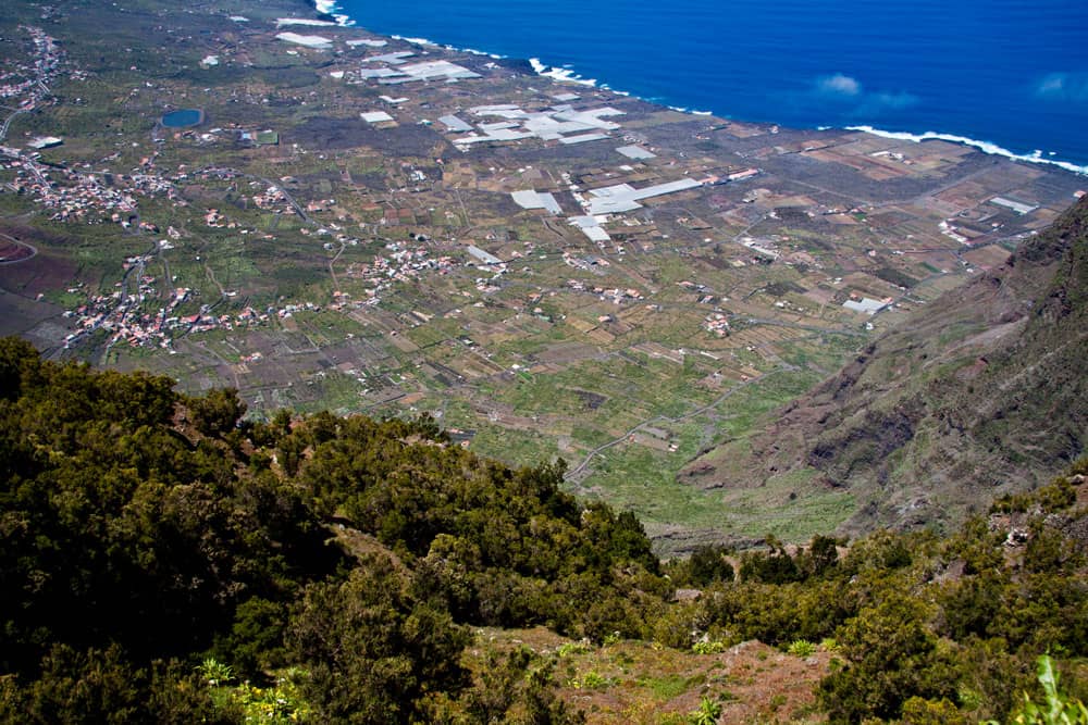
View from the hiking path to the El Golfo valley
Hike to the Mirador de Jinama
Section La Frontera, church square until leaving Calle los Corchos
You start your hike at the church square of La Frontera. There, next to the HI-1, several streets and alleys converge. A large hiking board points to the Camino de Jinama. Turn left next to the bar into Calle los Corchos. This one forks after a few meters. Here you follow the road of the same name to the left. The hiking trail PR EH 8 is marked white yellow. For quite a while the road goes uphill.
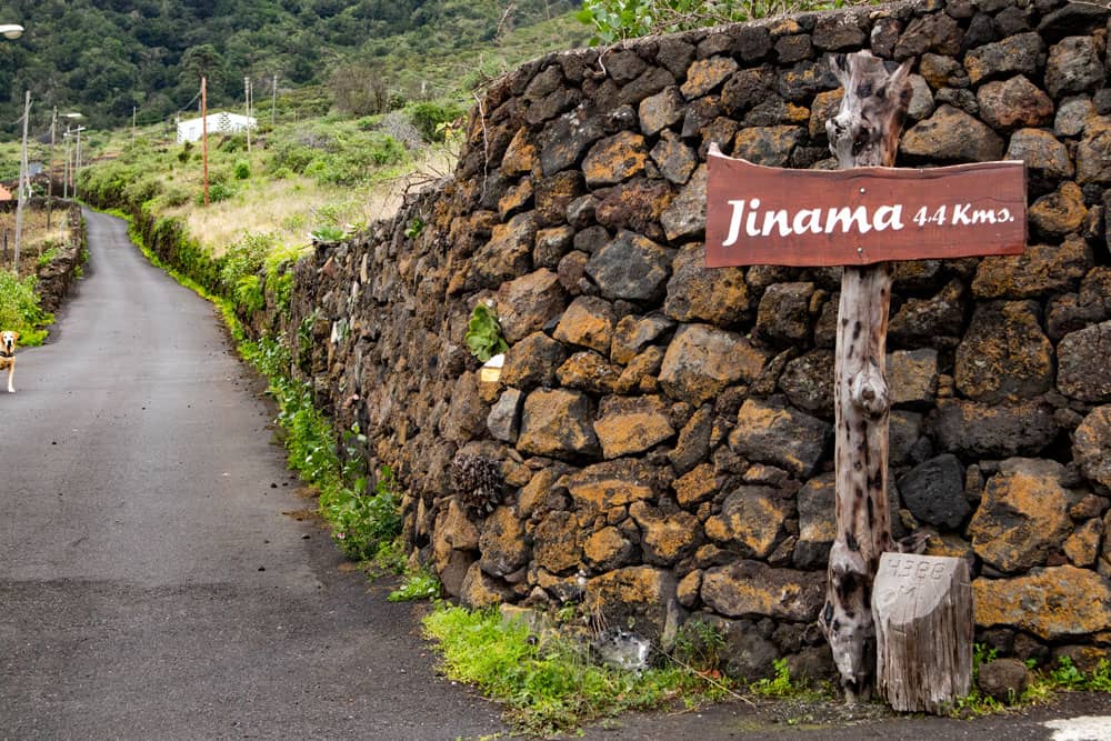
postsign Mirador Jinama

Article summary and large selection of GPS hiking tracks
Sign up for my newsletter now and get exclusive access to my collected GPS tracks as well as all the brief information about my articles.
Sign up nowAt the first sharp right turn, the path continues straight ahead. After a short while you cross the road again, but continue straight on following the path. Then cross the road again and go straight uphill on the hiking trail. Now you can see the big steep face lying quite close in front of you. To your left is a large Barranco. This is the Barranco de las Esquinas, at the edge of which you climb up the hiking path.
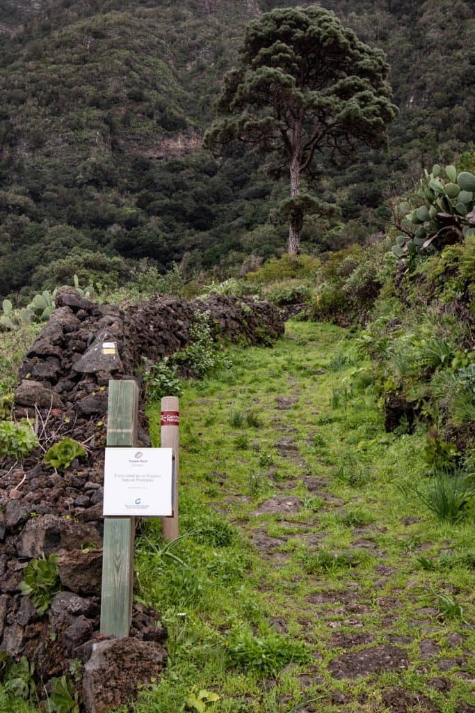
hiking path Mirador de Jinama
Section of the trail from Calle de los Corchos to Hoyo de Tintos
So far many gardens and wine terraces have been along the trail. Now you leave these behind you. It goes steeply uphill. After a short time another Barranco is to your right. Between these two gorges you climb further up the ridge. After some time the path turns left and leads through laurel forest to the other side of the Barranco de las Esquinas. Now you already walk quite close below the steep face.
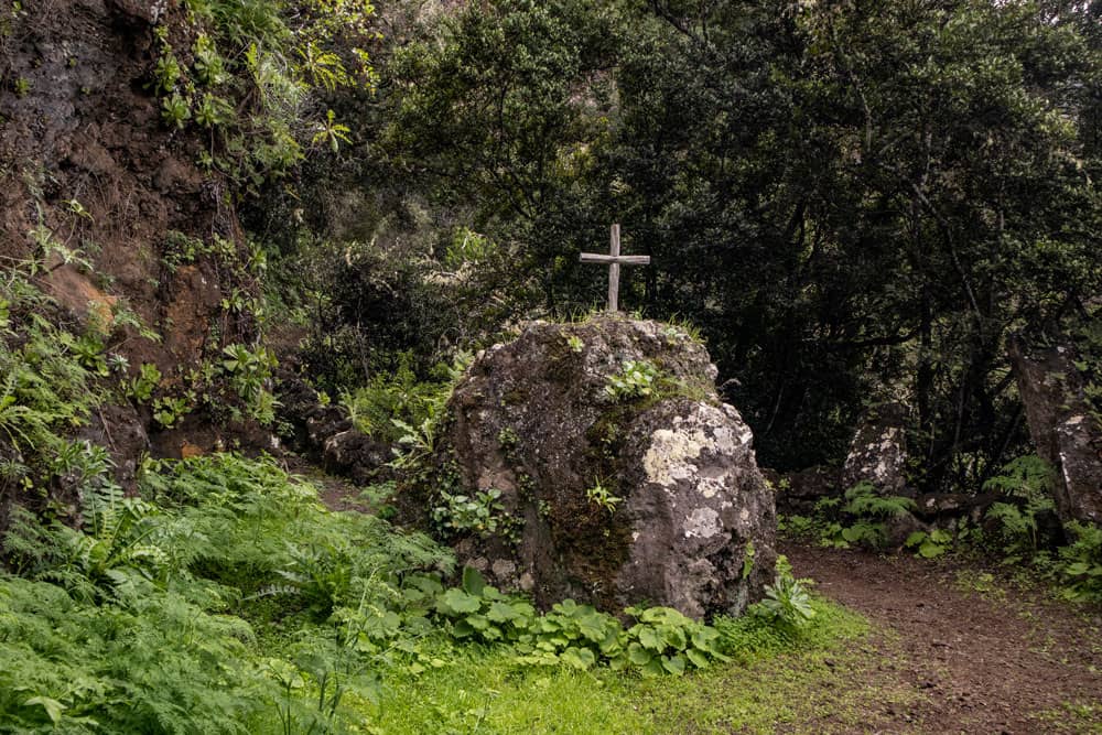
Stone with cross at the hiking path
The trail flattens out for a short time. But shortly afterwards it leads you steeply up into the cloud forest. The wide and well marked path is not to be missed. You will pass a big stone with a cross. The path now runs closer and closer to the slope. You go north and at the same time the path through the forest climbs steeply. At an altitude of about 800 meters you come out of the forest for a short time and cross the channel Hoyo de Tintos.
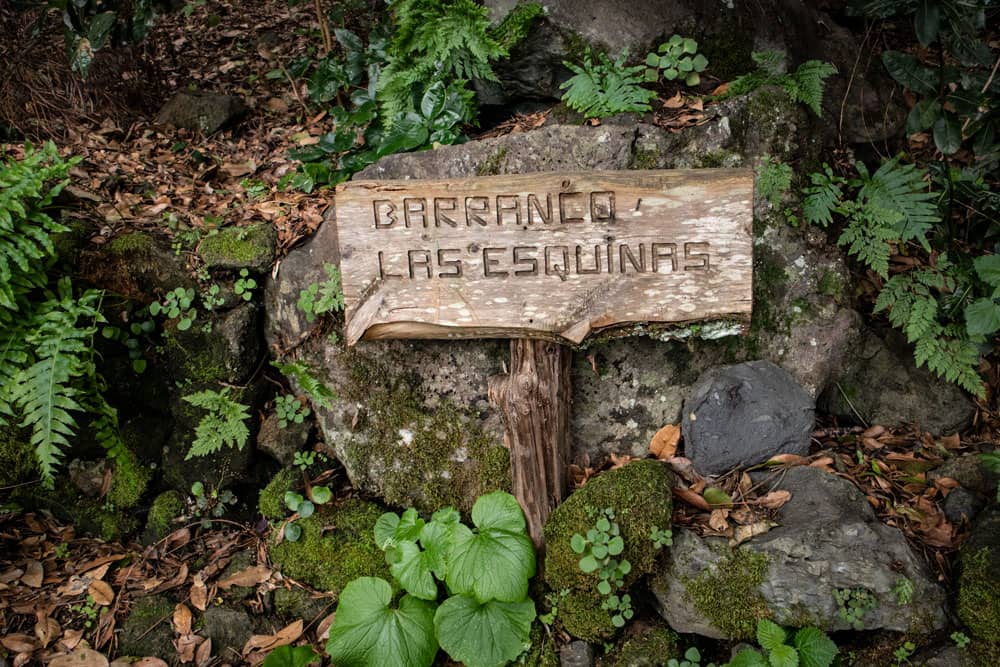
Barranco las Esquinas
Section Hoyo de Tintos to picnic area
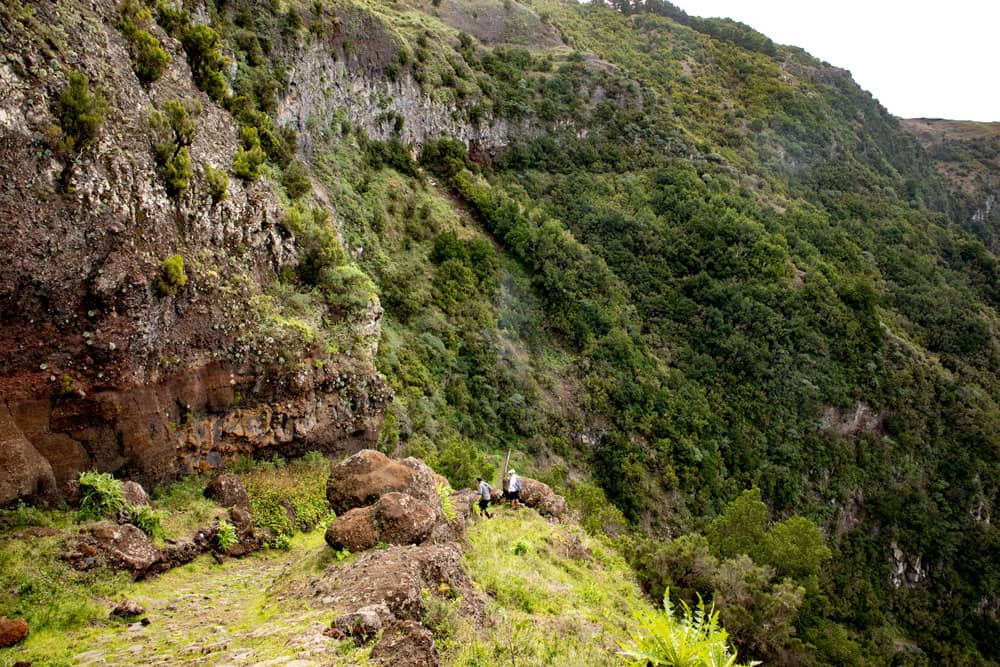
hiking path Mirador de Jinama
Here you go close to the rocks. Then the path climbs further. After some time you will reach a small viewing platform. Its name is El Miradero. From up here you have a fantastic view down over the whole El Golfo valley. Afterwards your steady uphill hike continues to the Mirador de Jinama. At the footpath, wooden signs along the way point to the Descansadero de la Virgin and the Cueva Las Pipas.
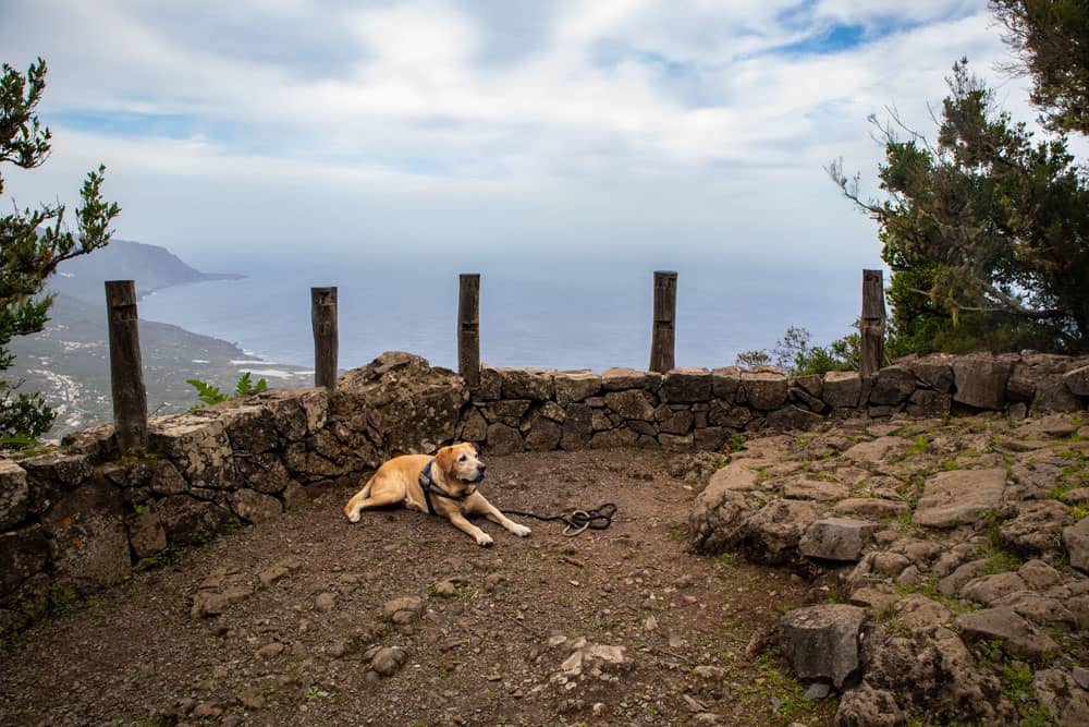
hiking dog Lasko at a view point
Continuing along the path you will pass another channel. Then you reach a picnic spot via the long hiking trail. Here, outside the forest, you have a clear view of the El Golfo valley. When I last walked this path in December 2018, it was very stormy up at the Mirador. So we preferred to move our summit picnic to this nicely situated windless place. There are even tables and benches and free of charge a priceless view.
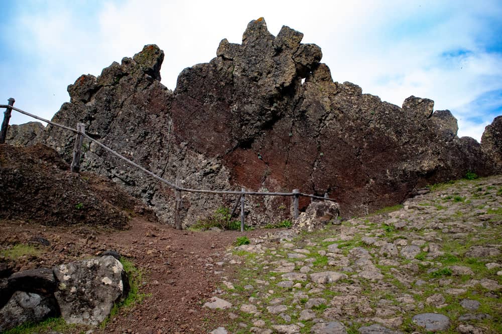
Mirador de Jinama - big rocks
Section picnic area to Mirador de Jinama
From the picnic area on wide and well laid out paths the trail climbs steeply up to the Mirador. Partly there is even a railing at the hiking trail. At the places where there is loose gravel instead of the big cobblestone, it is a little slippery later on the way back downhill. Now you can already see the Mirador lying above you. A quarter of an hour after the picnic place you should have reached it. Here at an altitude of 1240 metres there is a waterhole, the small chapel, the Ermita de la Caridad and a large viewing platform.
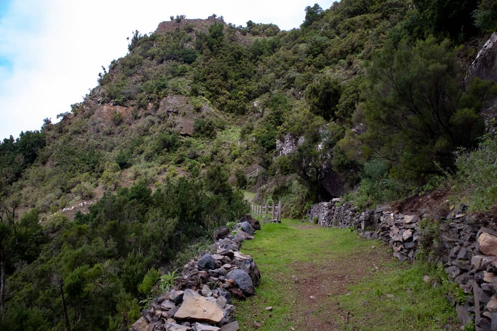
hiking path beneath Mirador de Jinama
If you like (see variants), you can continue from here on the endless green Nisdafe plateau to San Andrés or to the Mirador de La Peña (descriptions will follow soon on Seven Islands). But especially impressive from up here is the wonderful view. You can not only see the whole El Golfo valley, but also the neighbouring islands La Gomera, La Palma and Tenerife. The prerequisite is of course that there are no clouds, but this often happens here on the ridge.
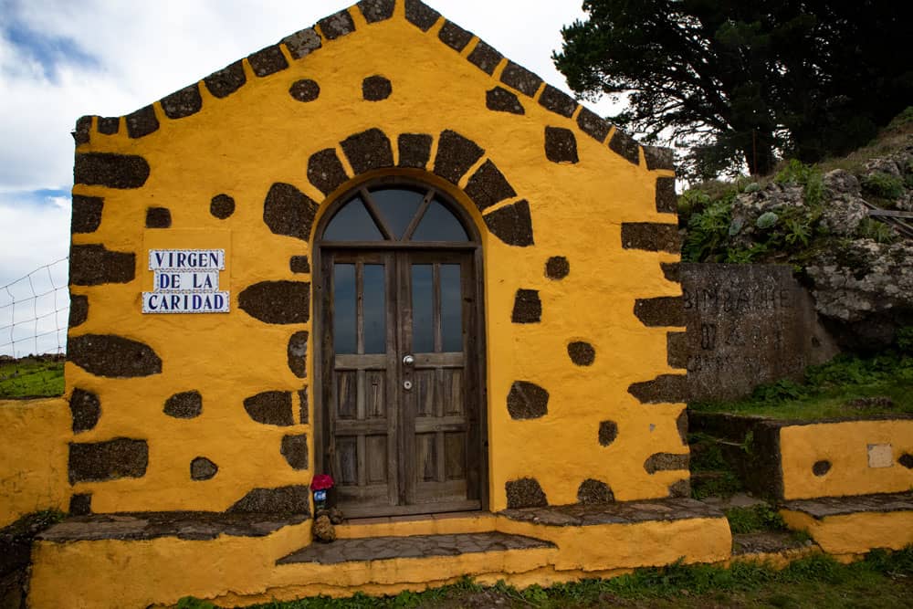
Chapel Virgen de la Caridad at the Mirador de Jinama
And finally
Whether you’re hiking up to the Mirador de Jinama or down or extending the steep face crossing with another tour – I wish you lots of fun while hiking,
Dagmar von Siebeninseln
Thank you for reading!
If you've found my hiking guides on SiebenInseln helpful for your Canary Islands adventures, please consider leaving a small tip. Your support is greatly appreciated and helps cover the costs of maintaining this blog.
Thank you for your support!
SSL secured
Comments
There are no comments for this post yet.
Post the first comment

