Hike from Vallehermoso via Cumbre de Chijeré
Map
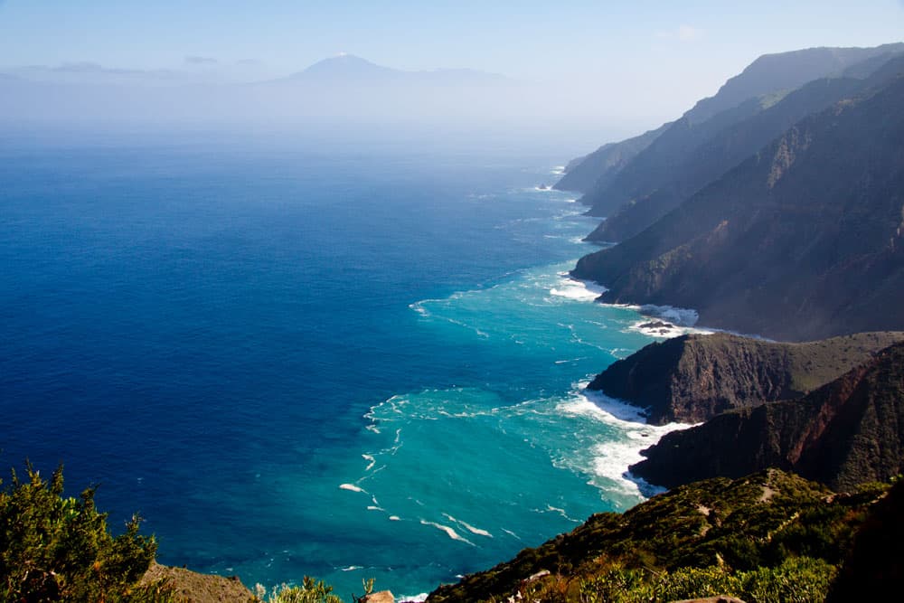
Today’s hike takes you from Vallehermoso up to the northwestern cliffs of the small island of Gomera. From up there you can enjoy wonderful views from the Cumbre de Chijeré and the other hiking trail over the ridge. You can see down to the Roque de los Órganos and the Atlantic Ocean.
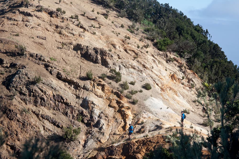
HIkers on white rocks - Cumbre de Chijeré
At the same time you can see large parts of La Gomera. You will see La Palma and discover the Teide on the neighbouring island of Tenerife. You will pass the Ermita de Santa Clara and the Ermita de Coromoto. Finally you can make a detour to Castillo de Mar on the beach of Vallehermoso. A really varied hike with some meters of altitude and beautiful views awaits you.
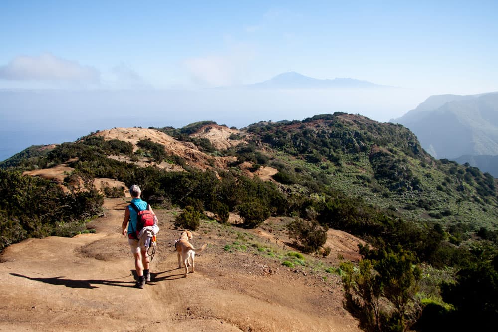
Hiking on the ridge - Chijeré
Vallehermoso with Cumbre de Chijeré – a hiking paradise
Those who spend their holidays in Vallehermoso as hikers are, so to speak, directly at the „source“. There are a lot of different hiking tours, which can be combined very well. If you want to know more about Vallehermoso and the Castillo del Mar situated there at the sea, you can read in the article „La Gomera – Circular hike about Vallehermoso through the Tamargada gorge“. 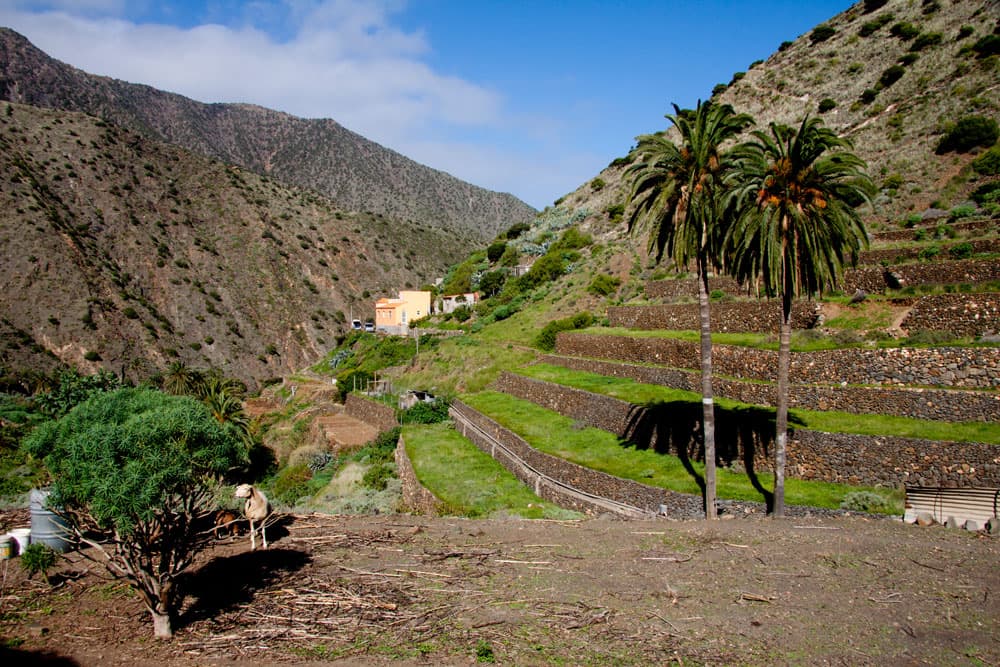
terrace fields at Vallehermoso
By the way, this circular hike runs right next to this hike from Vallehermoso to Cumbre de Chjeré. The last part of the way back from the beach to Vallehermoso is identical with a small part of the hike through the Tamargada gorge. If you lay the tracks on top of each other, you will see it. Therefore both tours can be combined very well. But because of the wonderful views you really shouldn’t miss this tour. 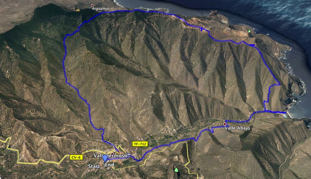
Track circular hike Chijeré
General information about the circular hike Vallehermoso – Chijeré
Starting point and approach
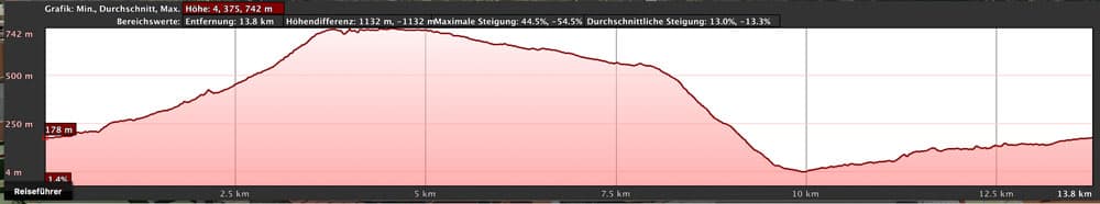
elevation profile of the hike from Vallehermoso via Cumbre de Chijeré
The starting point of the hike towards Cumbre de Chijeré is the centre of Vallehermoso (approx. 180 metres above sea level) at Plaza de la Constitución.
Arrival by car
The starting point Vallehermoso is directly on the island round road GM1 (TF-711). The town centre is also signposted and cannot be missed. Around the Plaza de la Constitución there are many parking possibilities on parking lots and in the streets.

Vallehermoso
Arrival by bus
In Vallehermoso the bus lines 2,4 and 5 stop. You can find the exact driving times here. Time
I don’t like to give general times for hiking tours, as the times are very individual. For this hike I needed with some rest and photo breaks as well as the side trip to the beach and the Castillo del Mar almost exactly 5 hours.
Article summary and large selection of GPS hiking tracks
Sign up for my newsletter now and get exclusive access to my collected GPS tracks as well as all the brief information about my articles.
Sign up nowDifference in altitude and distance
The difference in altitude is approximately 550 metres, but in total it is about 970 metres with up and down and the side trip to the beach. The distance with the short excursion to the beach is approximately 14 kilometres long.
Requirement
As the hike is quite long and there are also some altitude meters to overcome, fitness should be present. But otherwise it is a contemplative hiking tour on which you can enjoy wonderful views on good hiking trails. Only the descent from the Cumbre de Chijeré to the beach of Vallehermoso is quite steep.
Refreshment
Restaurants, bars and shops can only be found at the starting point and destination Vallehermoso. But it is worth taking a picnic with you and taking a break at Chijeré or Ermita de Santa Clara. Please take enough water with you.
Variants
This tour can be well combined with various other hiking and circular walks in the vicinity of Vallehermoso. The above mentioned tour through the Tamargada gorge should be mentioned for example. 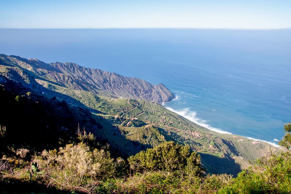
View on the Antlantic and the coastal region
Hike from Vallehermoso via Cumbre de Chijeré
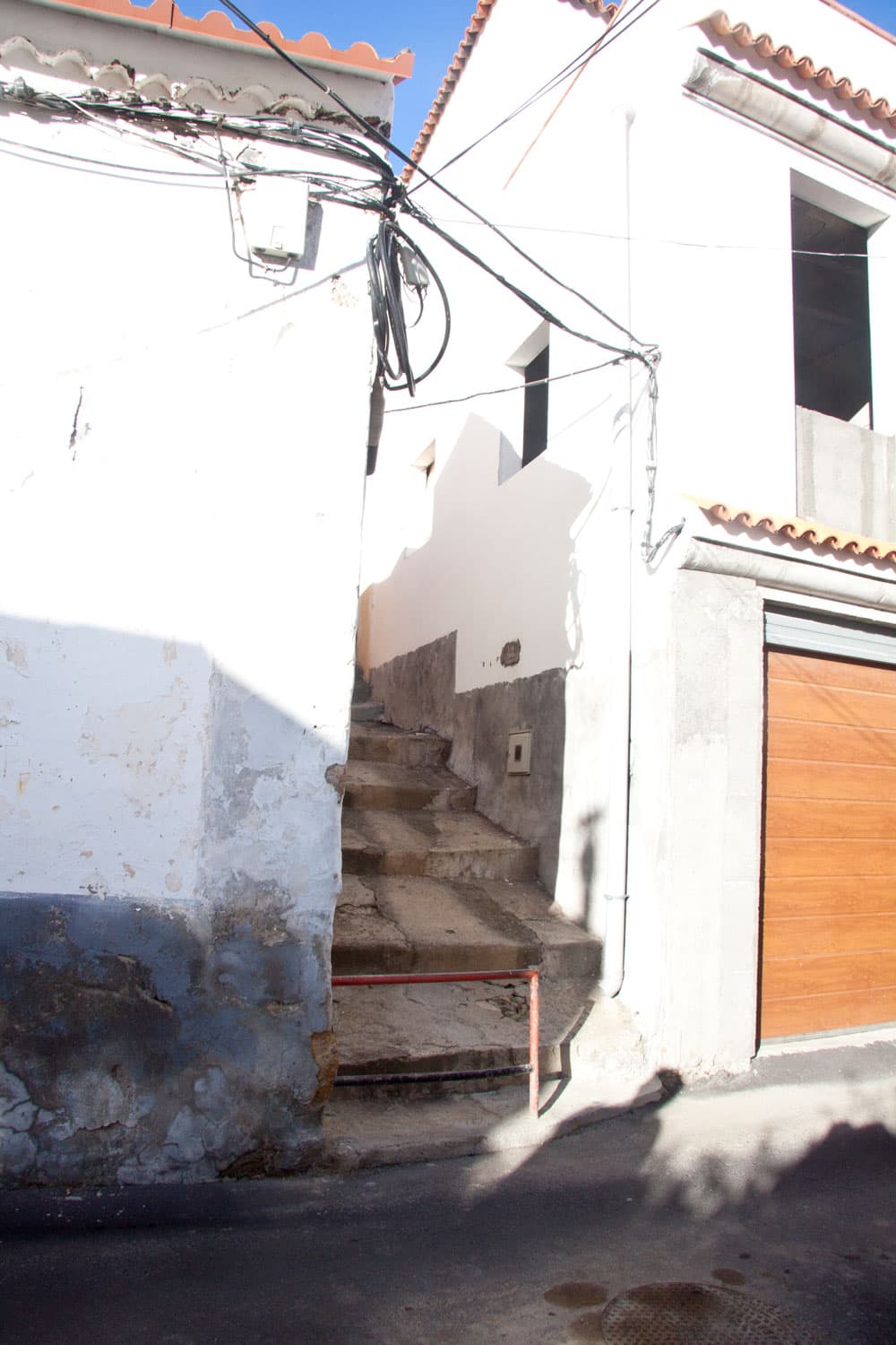
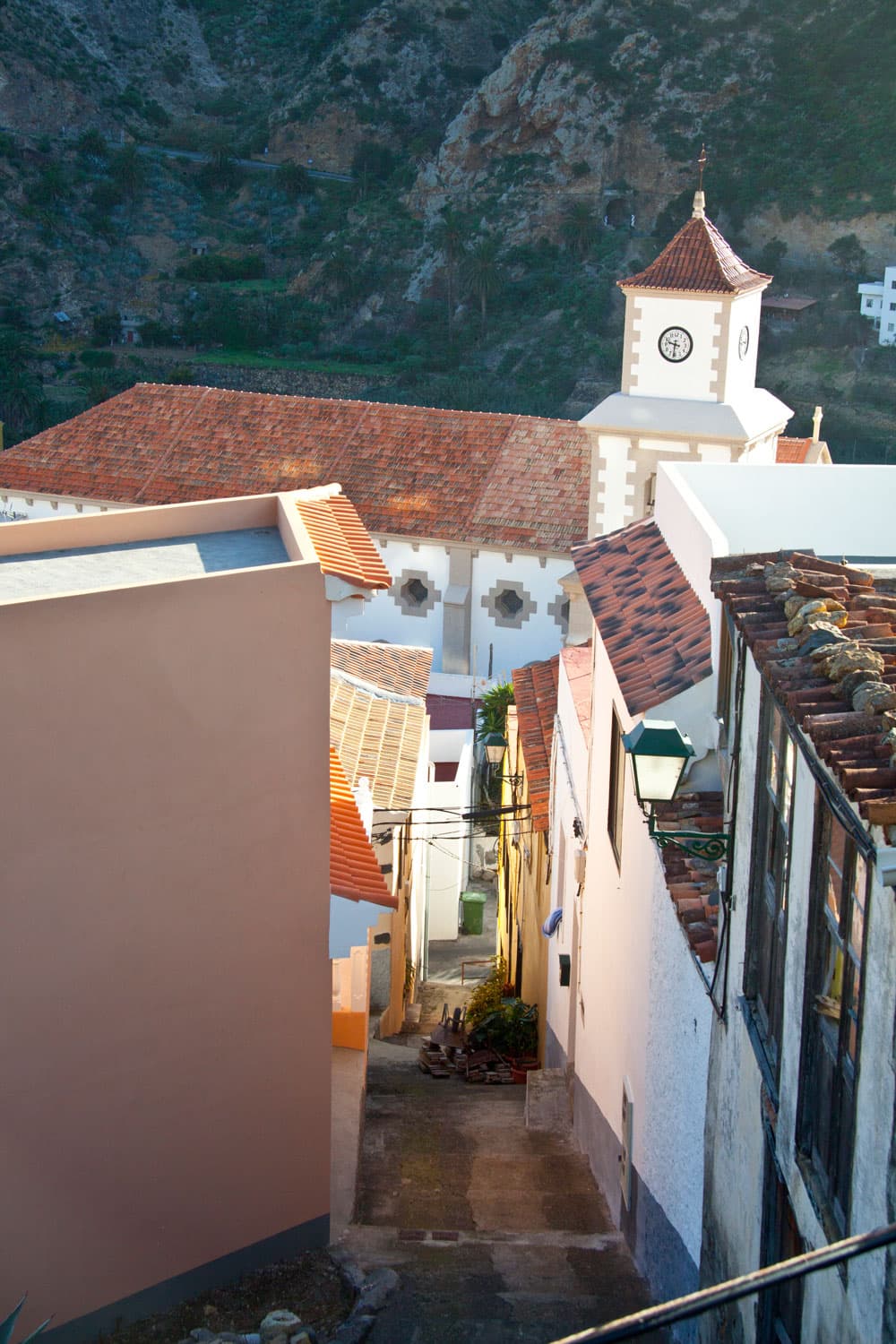
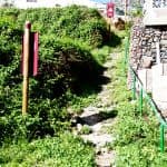
stairs at Vallehermoso
Section Vallehermoso to the Barranco de la Era Nueva
You start your hike in the centre of Vallehermoso at the Plaza de la Constitución. To the right of the large Bar Central you hike up Calle Mayor. When the church of the village is to your right after a short time, a narrow staircase climbs to the left of the street between the houses. You climb this up to the next street. You are now on Calle Ladera, which you briefly follow to the right. When the road makes a sharp right turn, go straight on and follow the signs to the cementerio (cemetery).
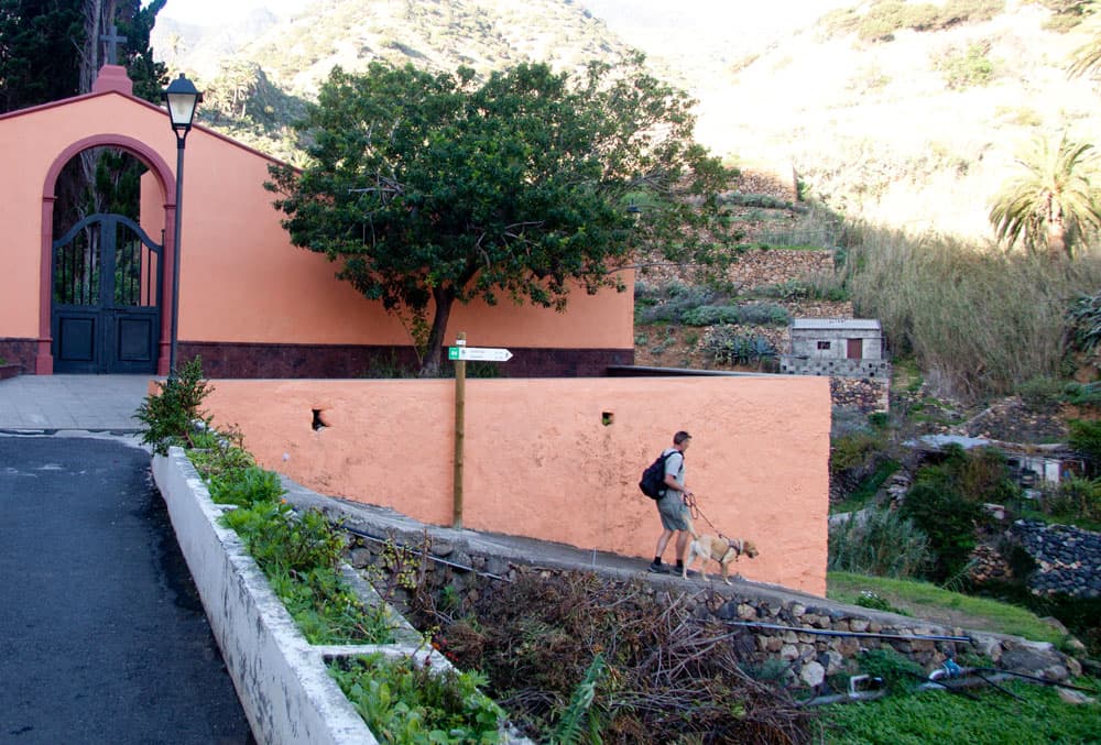
Hiking path in Vallehermoso - well postsigned
The green and white marked path has the number 04. It leads you to the cemetery through fields and then over a bridge. On the other side of the Barranco you turn left and pass some houses and fields. Then Vallehermoso is behind you. On the left side of the slope the path now leads slowly uphill for a while in the Barranco de la Era Nueva.
Vallehermoso - stairway
Section Barranco de la Era Nueva to Ermita de Santa Clara
Hikers on the way to Teselinde
In the midst of green nature, bushes and palm trees, the pretty hiking trail, partly covered with light-coloured stones, takes you uphill. After some time you will pass an abandoned ruin house, which is located on the left side of the path behind a large palm tree. Less than an hour after Vallehermoso, the path turns left and climbs up the slope. Now it goes steeper on narrow serpentine paths through the forest up the mountain.
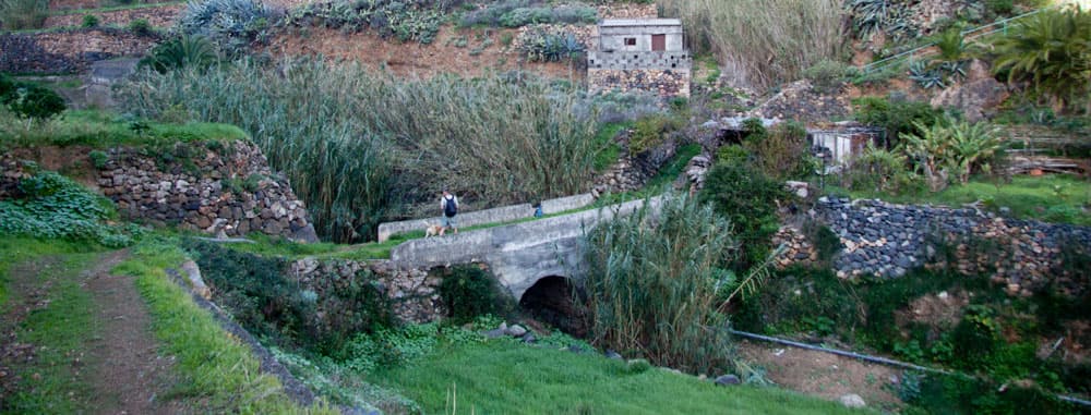
bridge on the hiking path behind Vallehermoso
In between you can already enjoy beautiful views back to the Barranco below you and the surrounding heights. It continues steeply up to the ridge height. But this is already the „hardest“ part of the hike. Afterwards you will be rewarded with wonderful views. On the crest height you continue to follow the wide main path. Now it goes only slightly uphill. Then the path turns into a crossway that takes you to Ermita de Santa Clara in a short time.
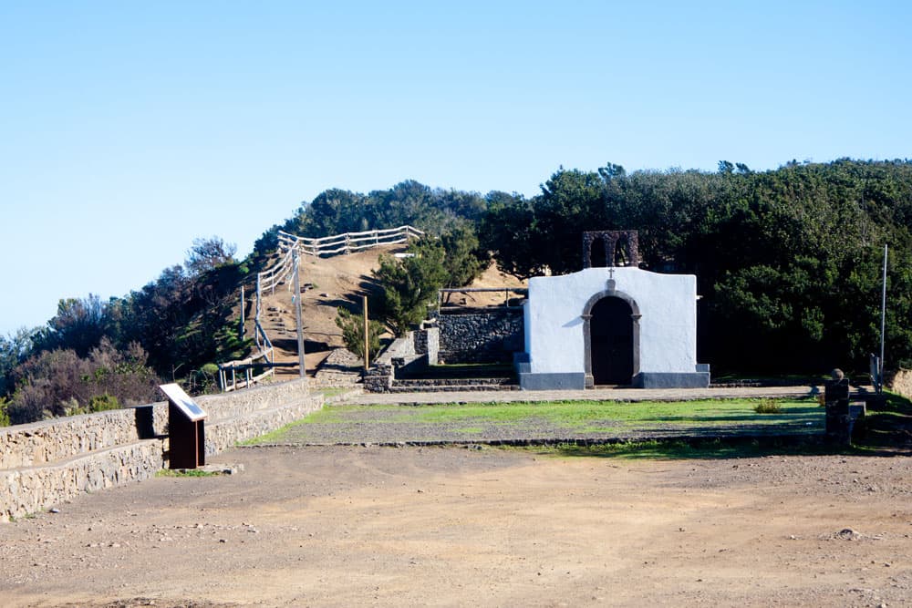
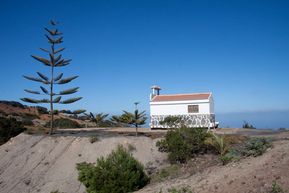
Ermita de Santa Clara with a recreation area
Section around the Ermita de Santa Clara
Article summary and large selection of GPS hiking tracks
Sign up for my newsletter now and get exclusive access to my collected GPS tracks as well as all the brief information about my articles.
Sign up nowHere at the Ermita de Santa Clara you will find a beautiful picnic area. Now it is time for a rest. And if you decide against it, you should definitely enjoy the magnificent view from this spot. In front of you lies the Atlantic Ocean. When the weather is nice you can see La Palma. And below you are the houses of Arguamul. A path leads from Ermita directly down there. So if you want to hike a little further, you can do it here.
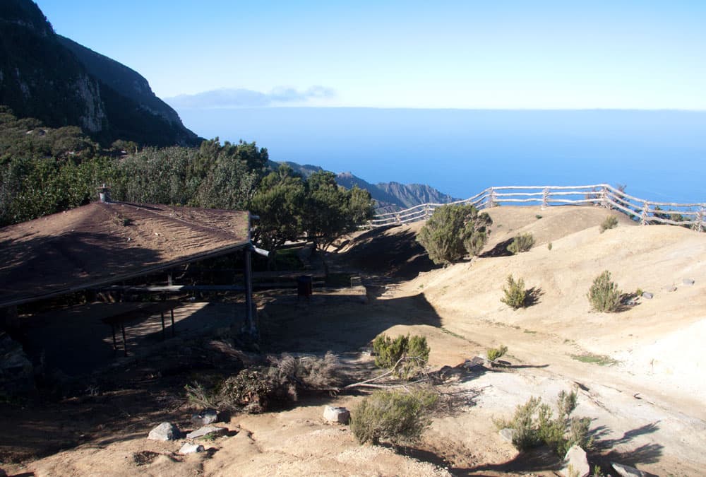
Recreation Area on the cliffs
At the Ermita de Santa Clara at 734 meters above sea level some hiking trails converge. Those who do not want to continue the whole round on the mountain path can also descend on the right side before the Ermita on a hiking path. This path leads through the Barranco de los Guanches in a „shortcut“ back to Vallehermoso. But just because of the fascinating views I can only advise you to continue on the high trail.
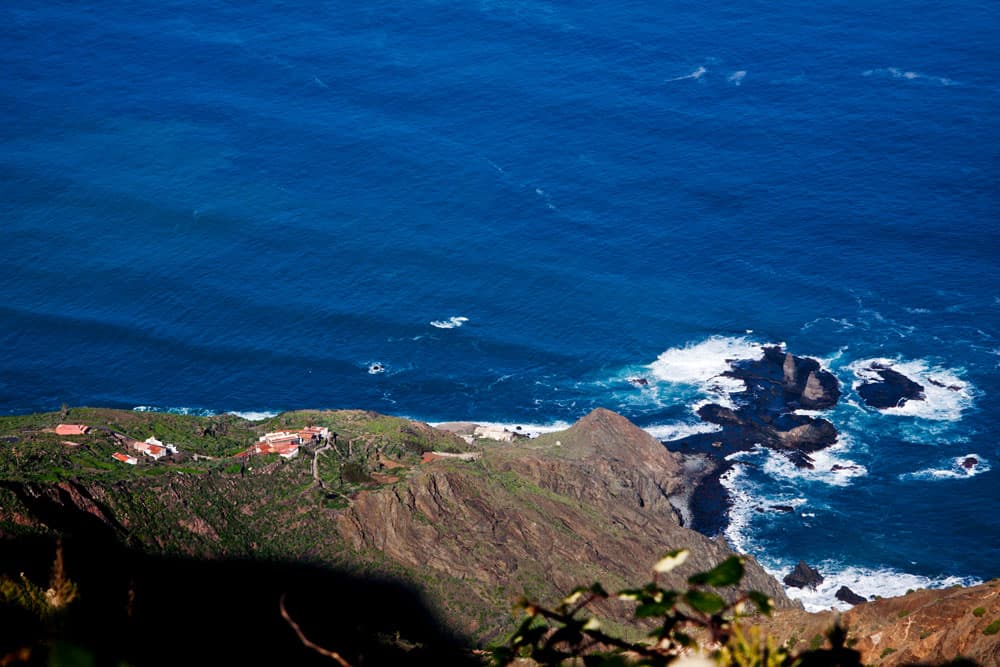
View to the houses of Arguamul
Section Ermita de Santa Clara to Ermita de Coromoto
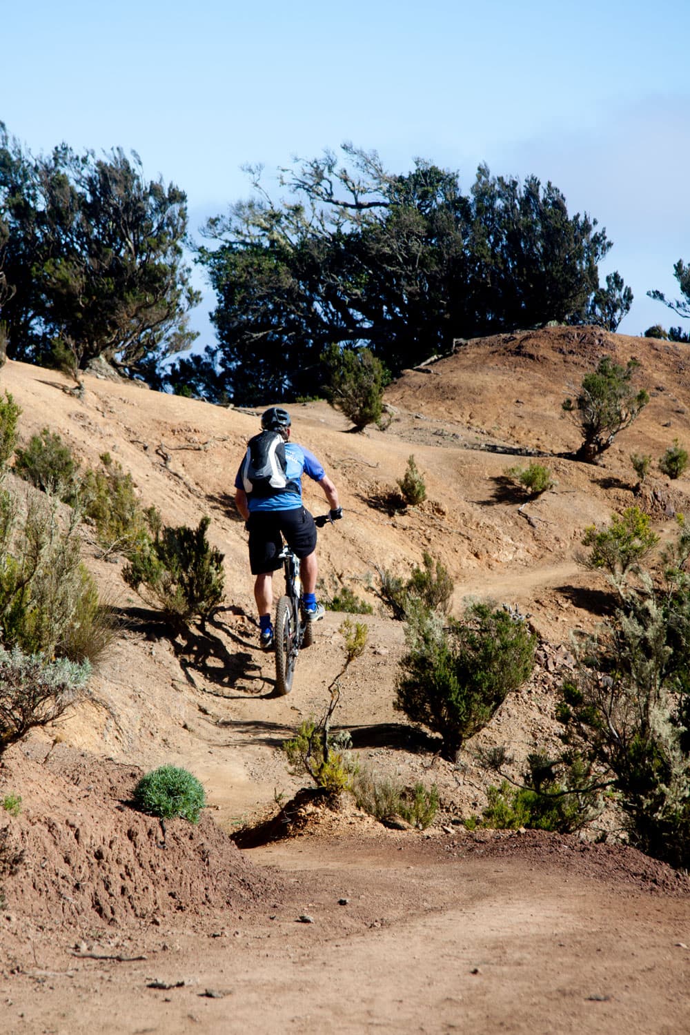
The hiking trail always leads you close to the ridge. You will enjoy views of the Roque de los Órganos, Tenerife with the Teide and the wild landscape of La Gomera around you. After about 30 minutes you will reach Cumbre de Chijeré. There you will meet the trail 07. The erosion landscape around you is yellow to ochre. And you’ll find some mountain bikers as well as hikers up here. If you have perhaps climbed a little on the yellow rocks, you continue straight ahead on the main path, which is already slowly descending.
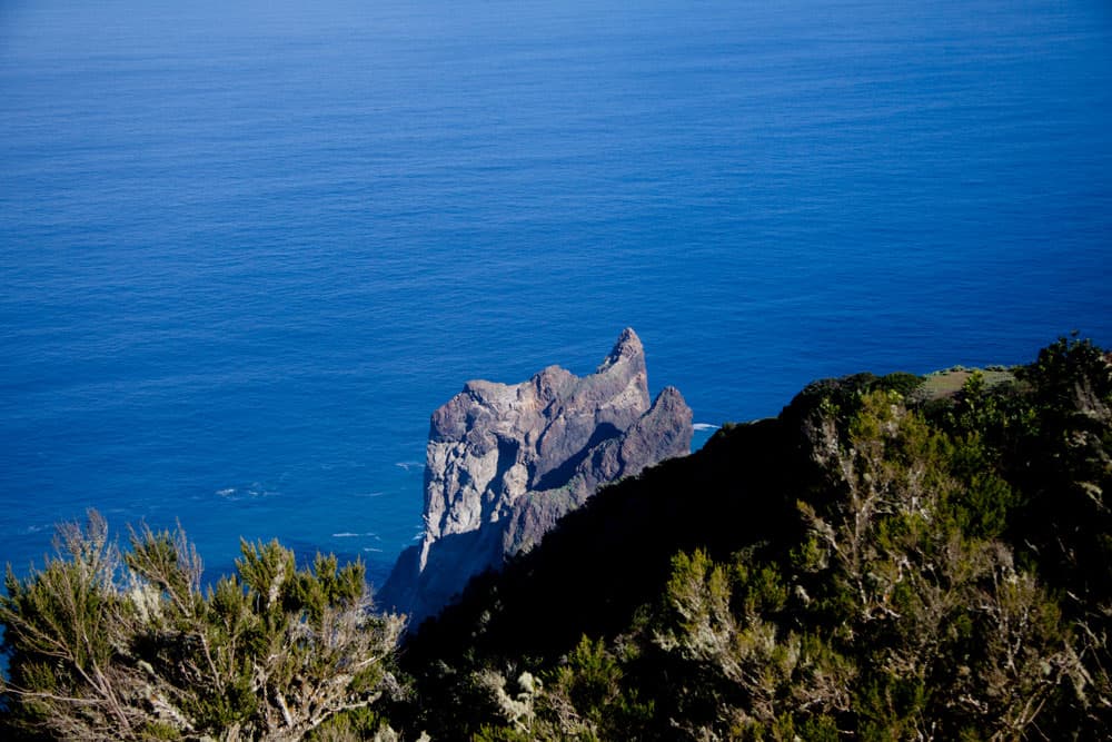
Roque de los Órganos
At an altitude of 633 metres you will come to the next chapel. This is the Ermita de Coromoto. Here I took a longer break myself and also left the trail a little because of the view and the landscape. So don’t be surprised about the little „runaway“ in the track. If you like, you can also follow the path that branches off to the left of the main path some time after Ermita. This one goes to the ruined houses of Chijeré.
Ermita de Coromoto
Section Ermita de Coromoto up to the road
After the turn-off to Chijeré you are at the end of the beautiful high trail in no time at all. As you can see in the track, I walked a little further to have a view of the whole steep coast and Tenerife. If you haven’t rested yet, then you can take a break here. After that you have to concentrate on the relatively steep descent. The descent is steep in small serpentines. Partly the way is a little bit fixed with wooden beams.
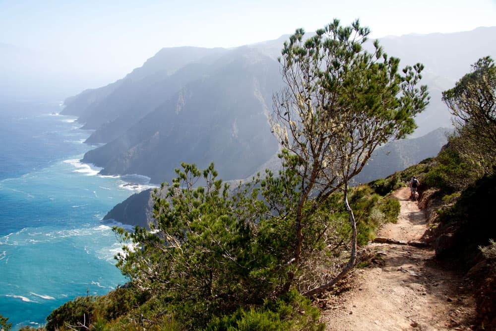
Hiking path at the coast of La Gomera
You’re going down the ridge. And when you have reached the end of the ridge, the path leads you right around and across to the next ridge. Follow this ridge to the end again. Turn right again and then along the edge of the Barranco towards the road. Soon you reach the first houses and walk a little further parallel to the road. But then you are back on the road between Vallehermoso and Vallehermoso beach.
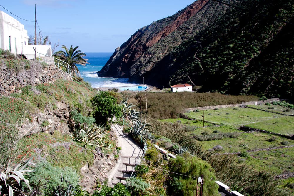
Hiking path from Chijeré down to the beach of Vallehermoso
Road section to the starting point Vallehermoso
When you have arrived on the road, you can follow my track and take a trip left to the beach. There is the Castillo del Mar and a bathing beach. You can find more information about Castillo del Mar here. Then you go back from the beach or from the point where you hit the road, first over the TF-712 direction Vallehermoso. You can follow the road all the way to the town centre. 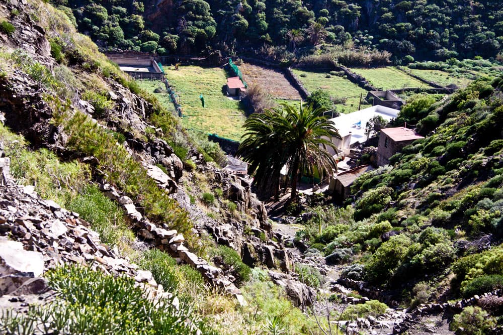
Valley of Vallehermoso
If you don’t want to go by the road, you can turn left at the next bus stop (cottage) like me. Follow Calle Lomo Barra uphill and turn right. It takes you across the valley past houses and fields. Then the road turns into a path. After some time it runs together with the GR 131, which comes from the direction of Hermigua. The path continues past a water reservoir. Then you cross the stream and the valley and then climb up the other side to the road again. Turning left, you will return to the centre of Vallehermoso in no time at all.
Hiking path Vallehermoso
And finally

Biker - Chijeré
I hope you enjoyed this promising hike on La Gomera. If you don’t know the tour yet, you should definitely try it. For me this tour is one of my favourite hikes on the island. I wish you a lot of fun while hiking.
Dagmar von SiebenInseln