
Table of contents
- 1.0Die Montaña de Ifara und die Montaña de Los Riscos
- 2.0Archaeological Traces at Ifara
- 3.0General Information about the Circular Hikes in the Area of Montaña de Ifara and Montaña de Los Riscos
- 4.0Circular Hikes in the Area of Montaña de Ifara and Montaña de Los Riscos
- 4.1Route Section: Exit 52 of the TF-1 to the Northern Side of Montaña de Ifara (Red Track)
- 4.2Route Section: Service Station to the Northern Side of Montaña de Ifara (Green Track)
- 4.3Route Section: Northern Side of Montaña de Ifara (Red Track) to the Starting Point of the Hike
- 4.4Route Section: Northern Side of Montaña de Ifara (Green Track) to the Starting Point of the Hike
- 4.5Hike around Montaña de Los Riscos (Blue Track)
- 5.0And Finally
Die Montaña de Ifara und die Montaña de Los Riscos
Montaña de Ifara and Montaña de Los Riscos
Map
In the south of Tenerife, in the municipality of Granadilla de Abona, the two volcanic mountains Montaña de Ifara and Montaña de Los Riscos rise above the barren landscape. Far away from the green forests and deep ravines that many hikers associate with Tenerife, a completely different world awaits you here. The landscape, characterised by volcanic rocks, light-coloured deposits and drought-resistant plants, has its own special charm. The two volcanic cones and the surrounding area are protected as a Natural Monument. You can find out more about the special features of this area on the official website about the Montañas de Ifara y Los Riscos.
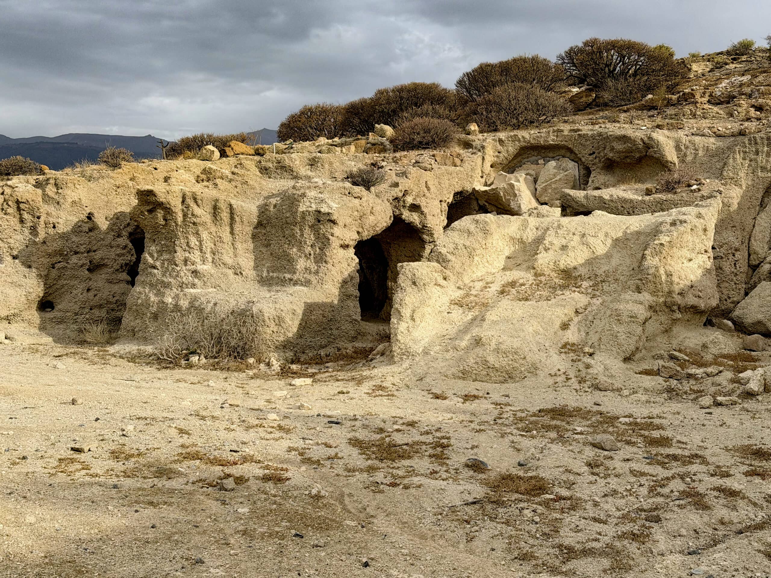
Cave dwellings along the hiking trail around the Montaña de Ifara
The area is interesting not only because of its volcanic formations. Between the hills, you can also find traces of former agricultural use, including terraced fields and dry-stone walls. The landscape therefore tells us not only about Tenerife’s volcanic origins, but also about how people made use of the natural conditions of the dry south.
Archaeological Traces at Ifara
Long before the Spanish conquered the Canary Islands, the Guanches lived on Tenerife. The area around Ifara was also used by the pre-Hispanic population. The archaeological zone of Los Llanos de Ifara is of particular importance: numerous archaeological sites have been documented there, including remains of dwellings, rock engravings and caves containing burial finds. They provide insights into the lives of the people who lived here at the time and make it clear that this seemingly barren landscape has a long history. You can find further information on the website of the Government of the Canary Islands about Los Llanos de Ifara.
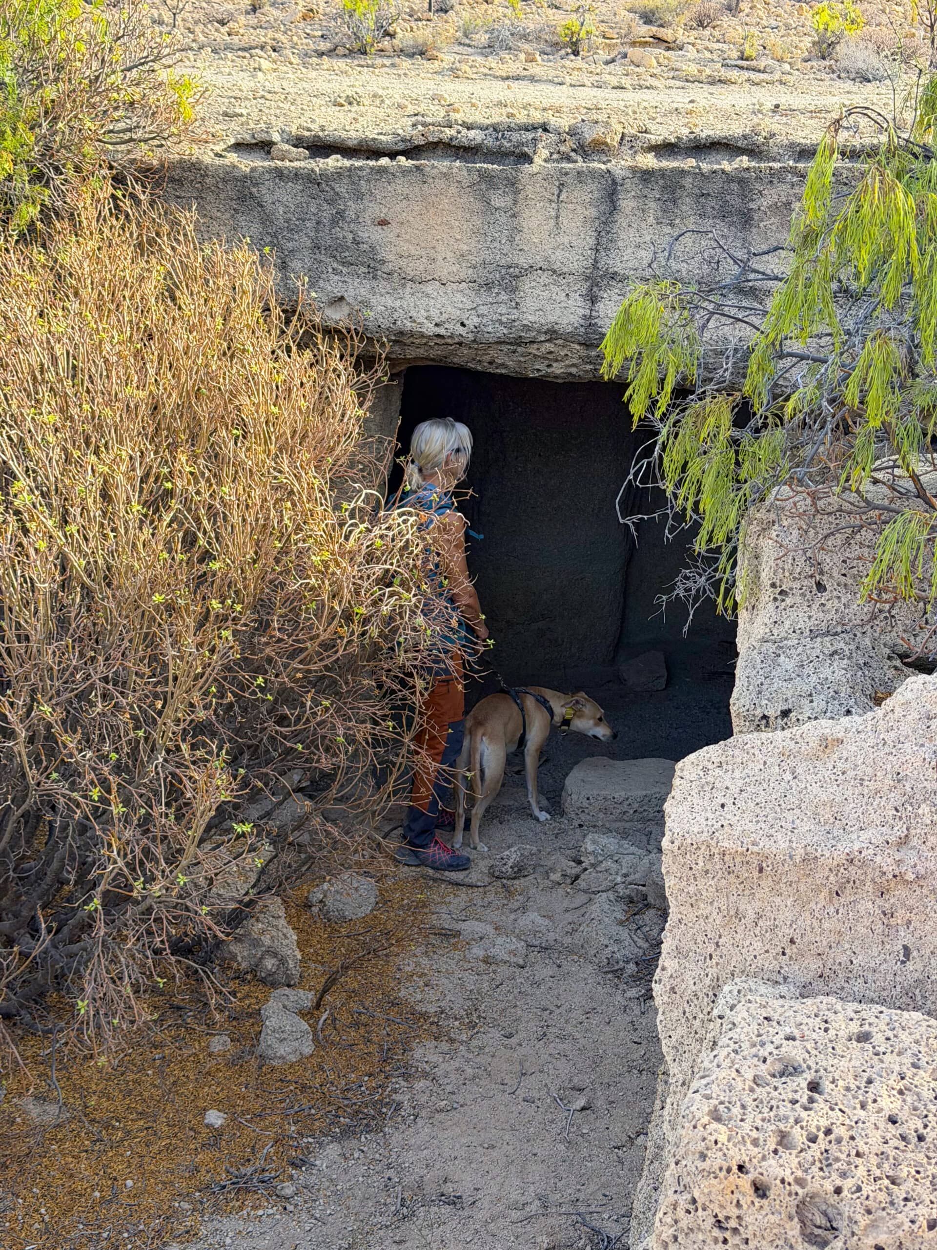
There’s something to discover everywhere
If you go hiking in this area, you should make sure to respect these sensitive natural and cultural heritage sites. Stay on the existing paths and trails, do not enter archaeological structures, and do not touch or remove any stones or artefacts. Climbing on old walls can also cause damage. Not every visible track is an official hiking trail, and some areas may be privately owned. Therefore, plan your hike carefully and observe any barriers and signs on site. In this way, you can help preserve this special landscape and its historical heritage for future generations.
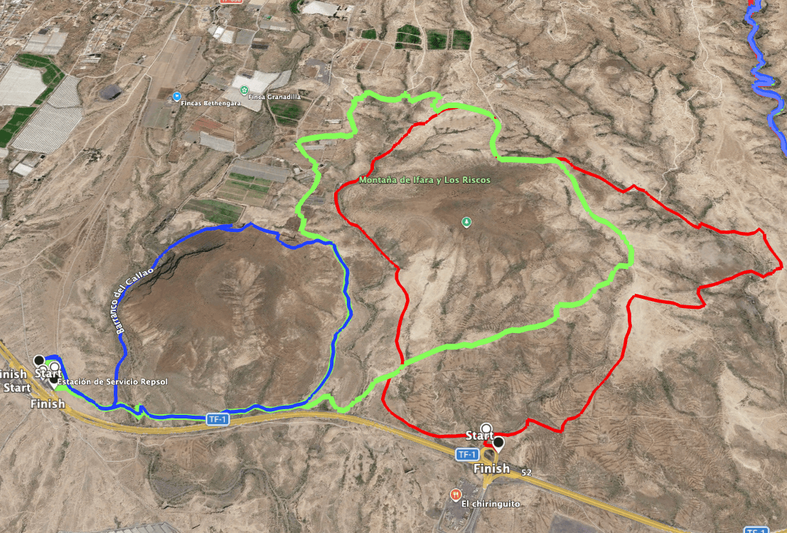
Hiking routes around the Montaña de Ifara (green and red) and the Montaña de Los Riscos (blue)
General Information about the Circular Hikes in the Area of Montaña de Ifara and Montaña de Los Riscos
Starting Point and Directions
The starting point for hikes in the Ifara area is either the Repsol motorway service station between motorway exits 52 and 54, or a parking area near motorway exit 52.
Getting There by Car
You can reach the area from either direction via the TF-1 motorway towards Santa Cruz de Tenerife or Los Cristianos. For a short hike, parking at the service station should be permitted. Otherwise, you can also park your car nearby at the side of the road.
If you choose exit 52 as your starting point, drive along the exit road and, shortly before reaching the motorway slip road, turn right onto a dirt track. You can park immediately there or continue a little further, where you will find a small designated parking area on the right-hand side.
Getting There by Bus
Unfortunately, no TITSA bus routes stop at exit 52. The only stop is at exit 50, which is too far away. You can find information about bus connections on Tenerife on the TITSA website: http://www.titsa.com/.
Time
I am reluctant to give general time estimates for hikes, as the time required varies considerably from person to person. We took between 1.5 and 2.6 hours for these leisurely circular walks.
Article summary and large selection of GPS hiking tracks
Sign up for my newsletter now and get exclusive access to my collected GPS tracks as well as all the brief information about my articles.
Sign up now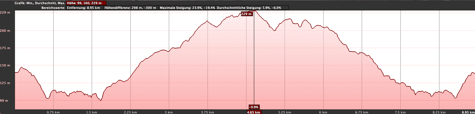
Elevation profile of the walk around the Montaña de Ifara (green)
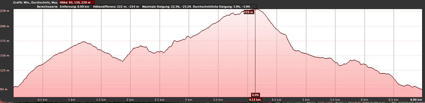
Elevation profile of the walk around the Montaña de Ifara (red)
Elevation Gain and Distance
Depending on the hike, the elevation difference is between 250 and 350 metres. The routes are just under 5 kilometres, 7.5 kilometres and 9.5 kilometres long.
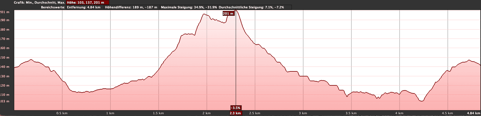
Elevation profile of the walk around Montaña de Los Riscos
Difficulty
Throughout the circular routes, you walk on good hiking or dirt tracks. Only the descent through the Barranco de Ifara is somewhat uneven and difficult to follow in places.
Refreshments
There are no opportunities to stop for refreshments along the entire route, except if you start at the motorway service station. Therefore, make sure you take enough water and, if necessary, food with you.
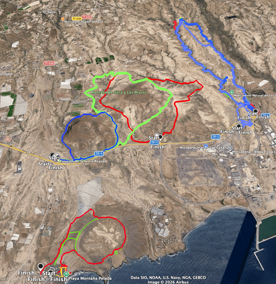
Routes for the walks around Montaña de Ifara (green and red) and Montaña de Los Riscos (blue), as well as neighbouring walks: Barranco Las Monjas (blue) on the right and Montaña de Pelada (red and green) below
Variants
As you can see in the picture, I suggest three different routes around Montaña de Ifara and Montaña de Los Riscos. For the first time, I am not describing one fixed circular hike, but presenting three different routes in this area. You can walk these short hikes individually or combine them according to your own preferences. There are also many other paths that you can explore and put together to create your own circular route.
SiebenInseln Hikes Nearby
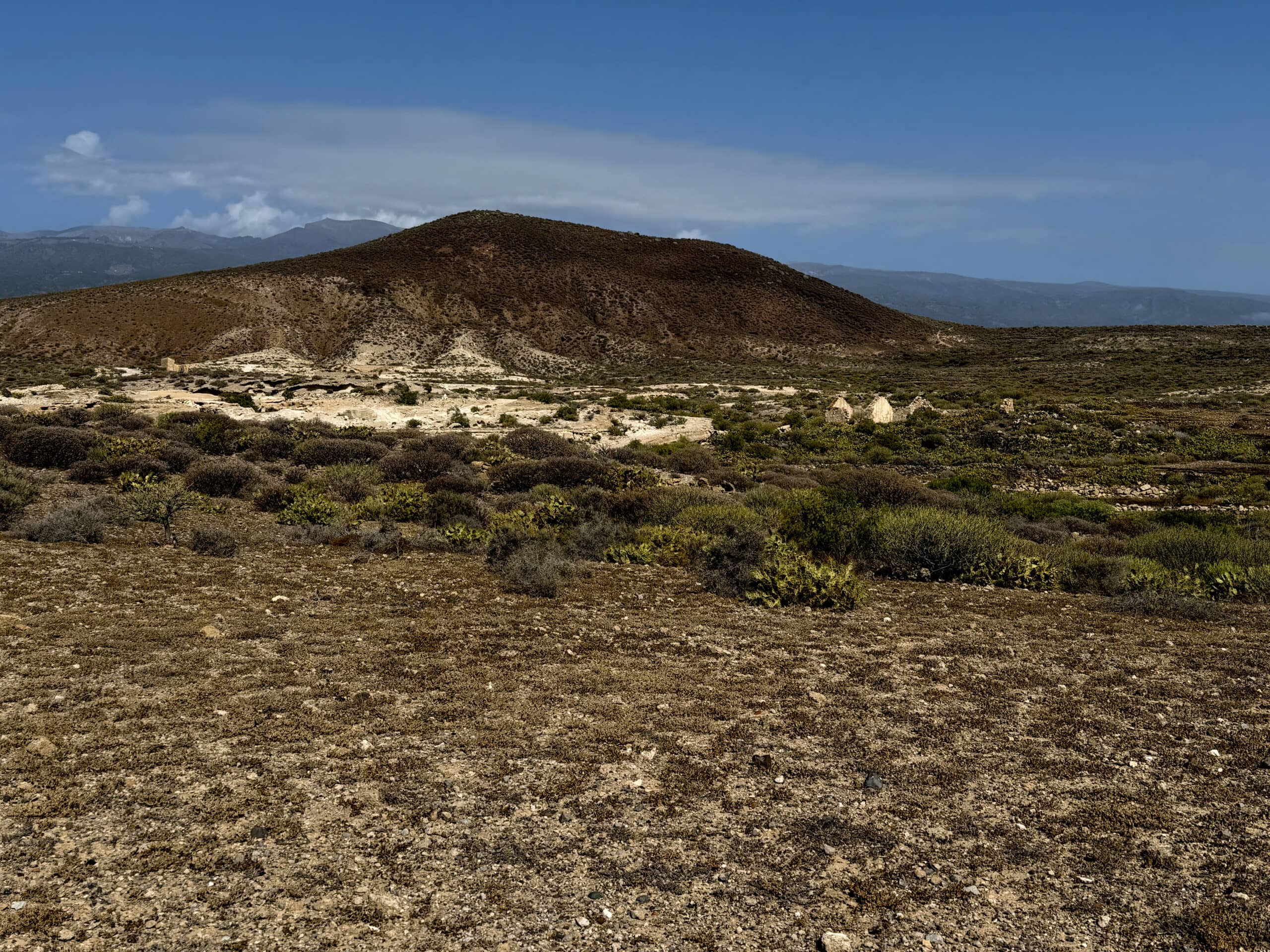
View of Montaña de Ifara
Circular Hikes in the Area of Montaña de Ifara and Montaña de Los Riscos
Route Section: Exit 52 of the TF-1 to the Northern Side of Montaña de Ifara (Red Track)
You start the circular hike around Montaña de Ifara (red track) near exit 53, above the TF-1, depending on where you have parked your car. Montaña de Ifara lies ahead of you, and you initially follow a wide path to the right, slightly uphill towards the northeast. You pass ruined houses and old channels. At this point, you are still outside the Ifara protected area. Nevertheless, I chose this path because, after a small ravine, it passes some old cave houses.
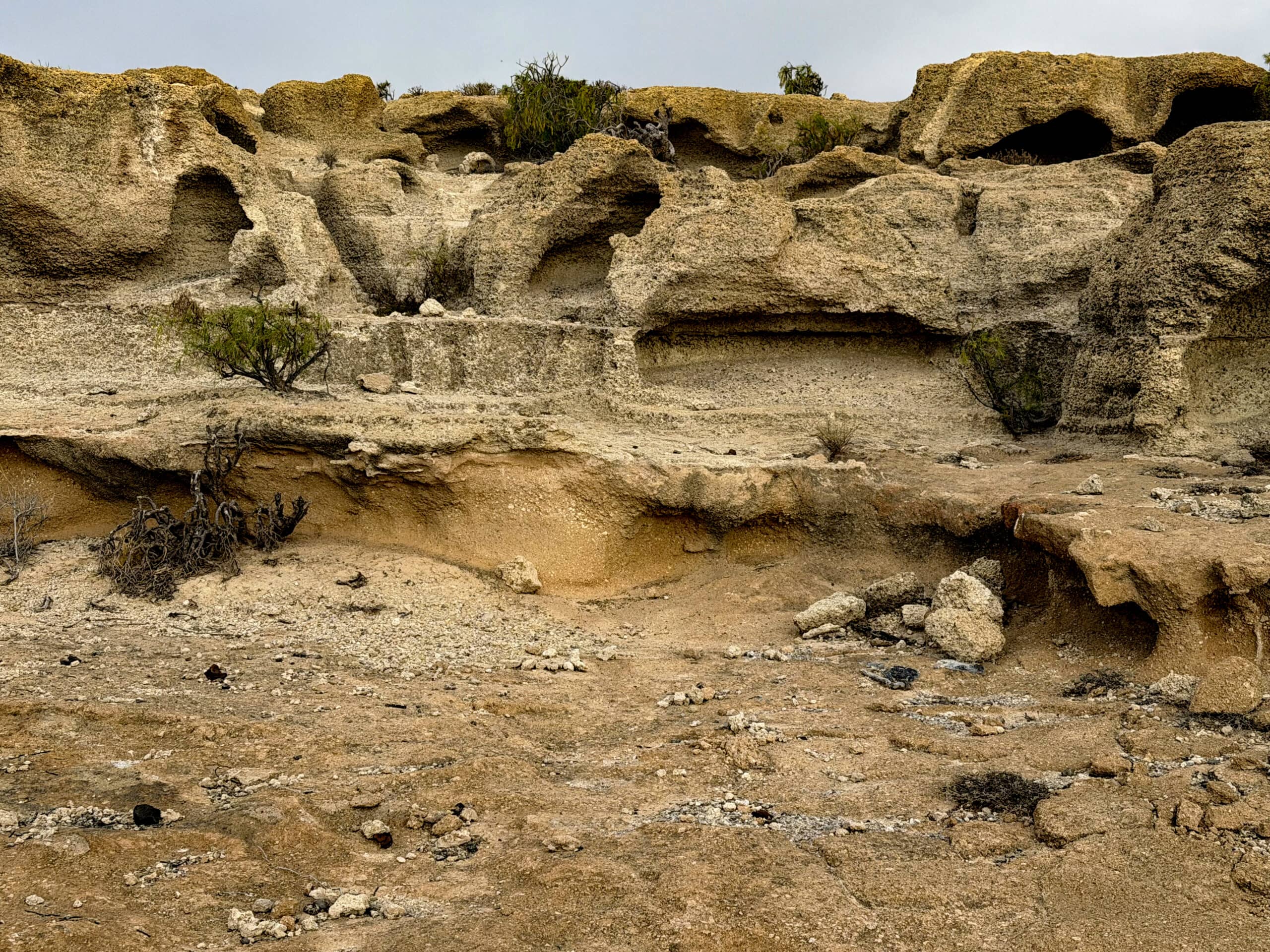
Bizarre sandstone formations by the side of the path
If you then keep further to the right, you reach a ridge offering good views towards the coast and the Cañadas. To your right, you can look down into the area of Barranco de las Monjas. Montaña de Ifara is now on your left, and you continue along extensive sandy tracks towards Montaña de Ifara. Eventually, you follow a wide path, with channels running nearby, along the back of Montaña de Ifara.
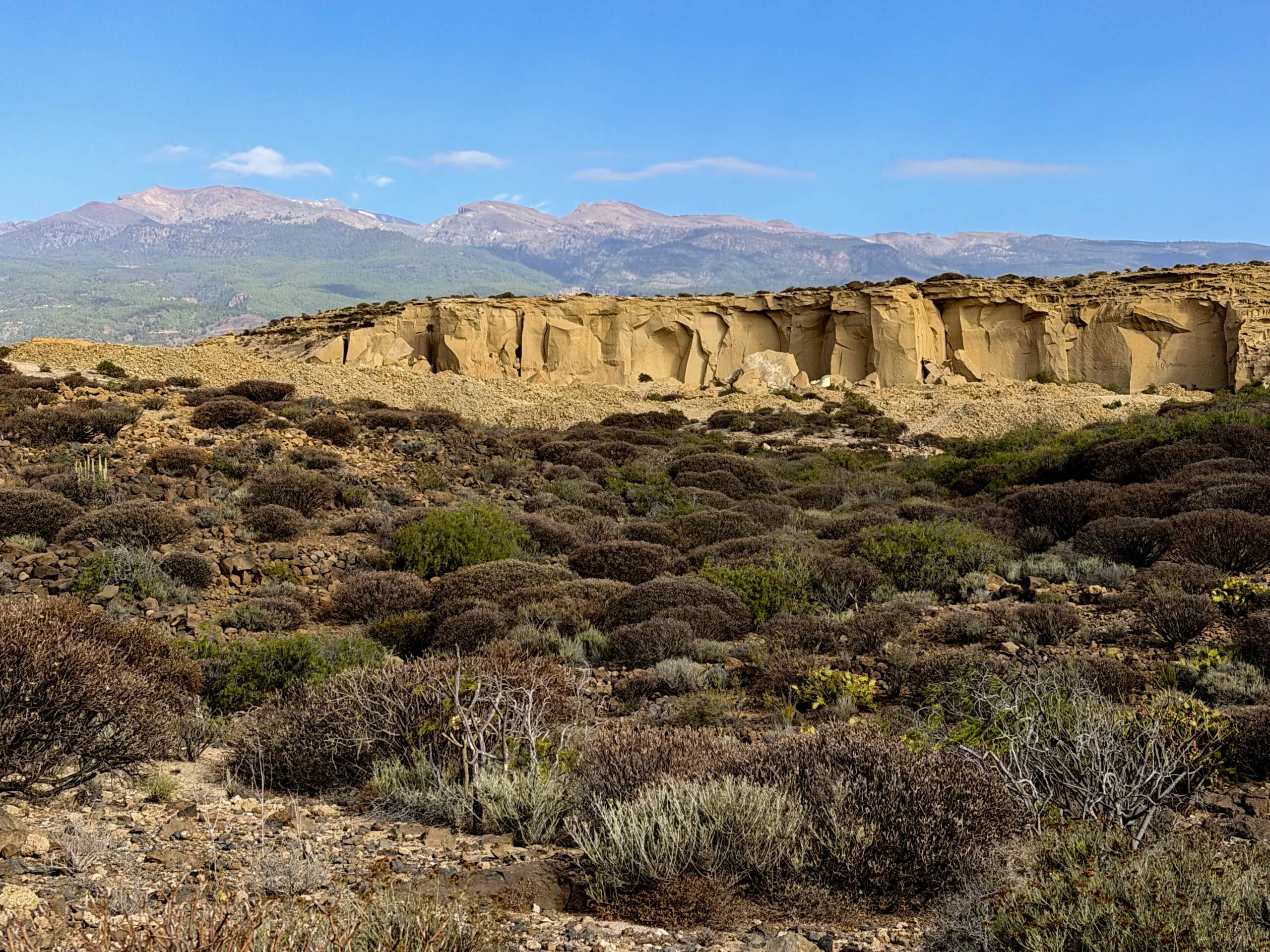
View towards Barranco de las Monjas and the Cañadas
Article summary and large selection of GPS hiking tracks
Sign up for my newsletter now and get exclusive access to my collected GPS tracks as well as all the brief information about my articles.
Sign up nowRoute Section: Service Station to the Northern Side of Montaña de Ifara (Green Track)
Since both hiking tracks (red and green) meet behind Montaña de Ifara, I will first describe the green route. You start behind the service station and follow the wide path alongside the motorway and Montaña de Los Riscos until you reach the ravine between Montaña de Ifara and Montaña de Los Riscos. Here, you begin climbing northeast along a path.
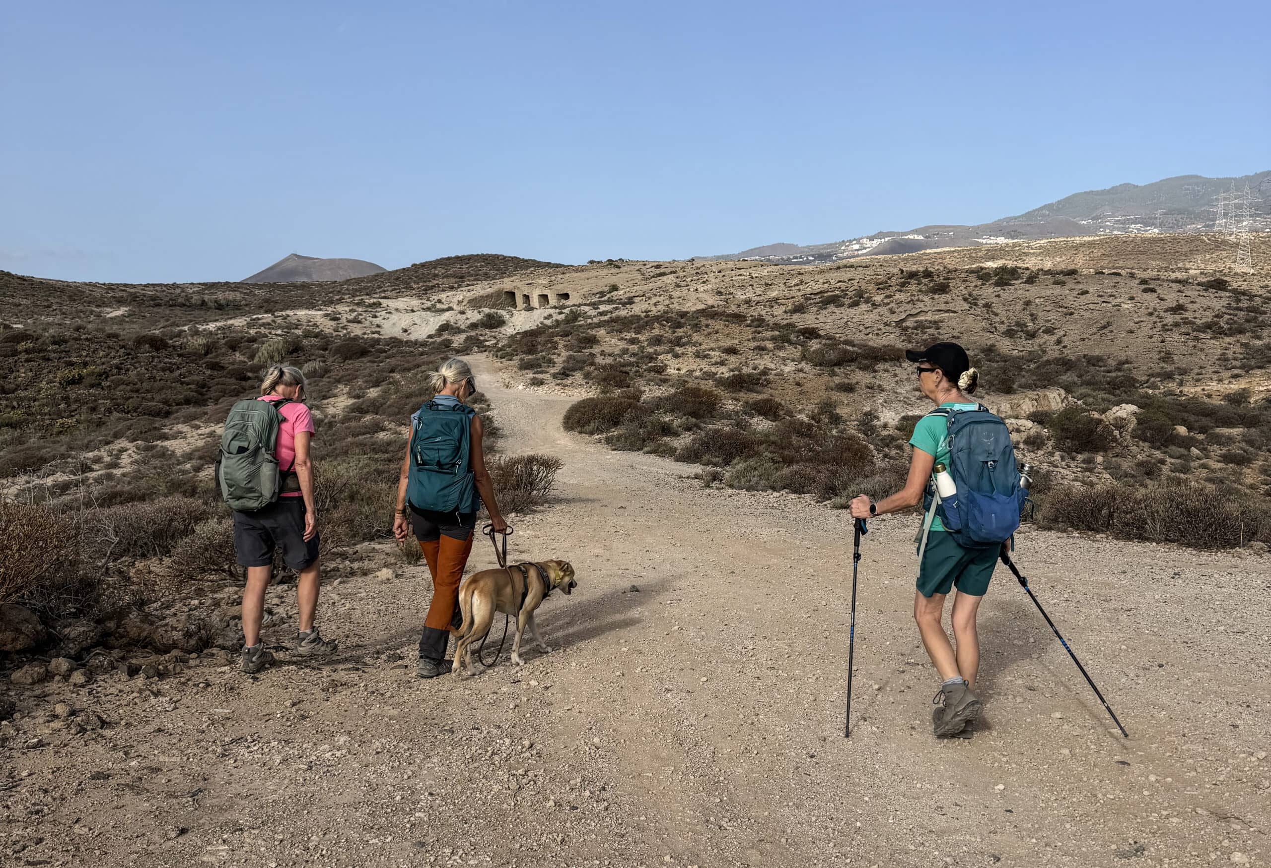
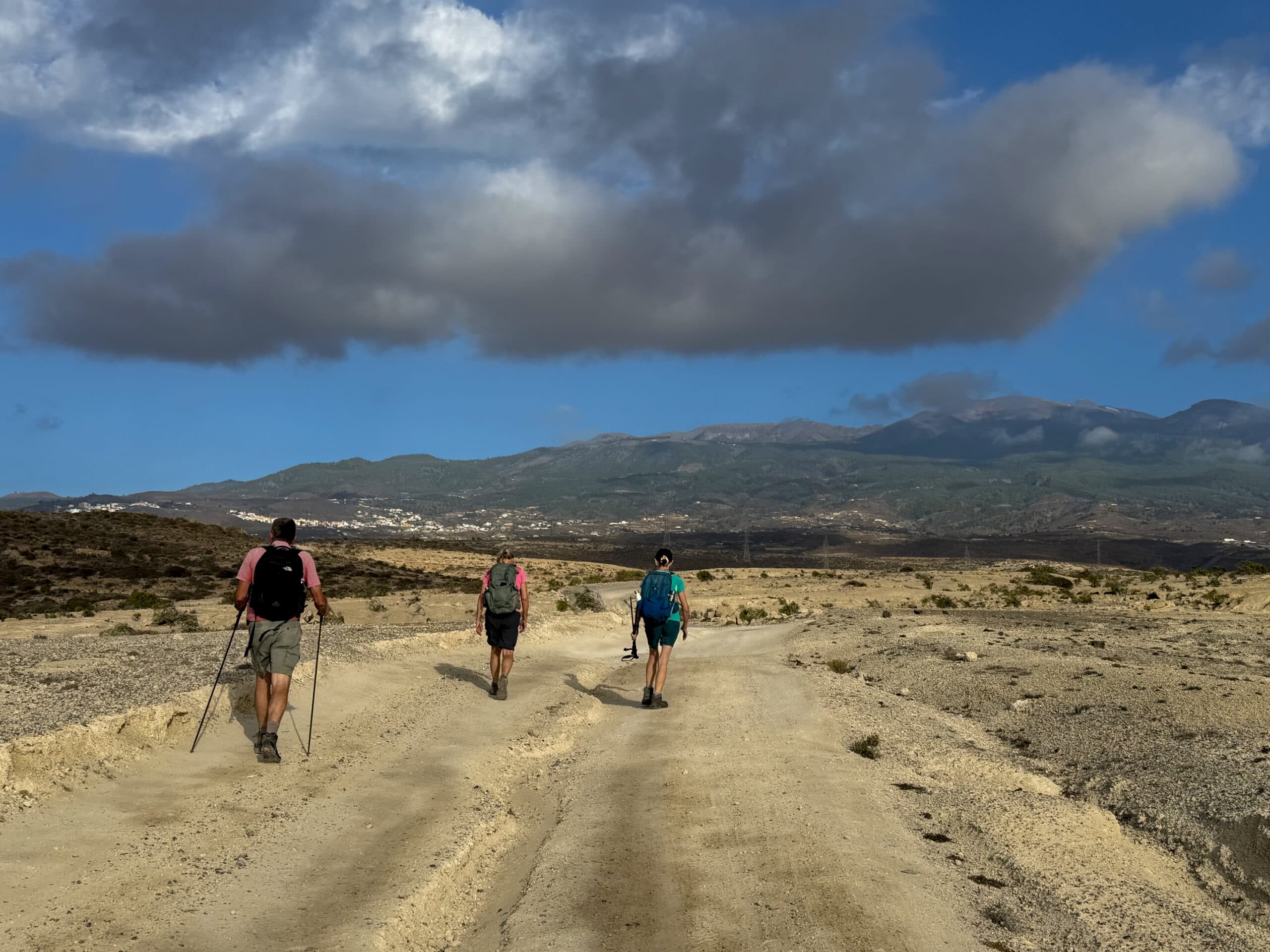
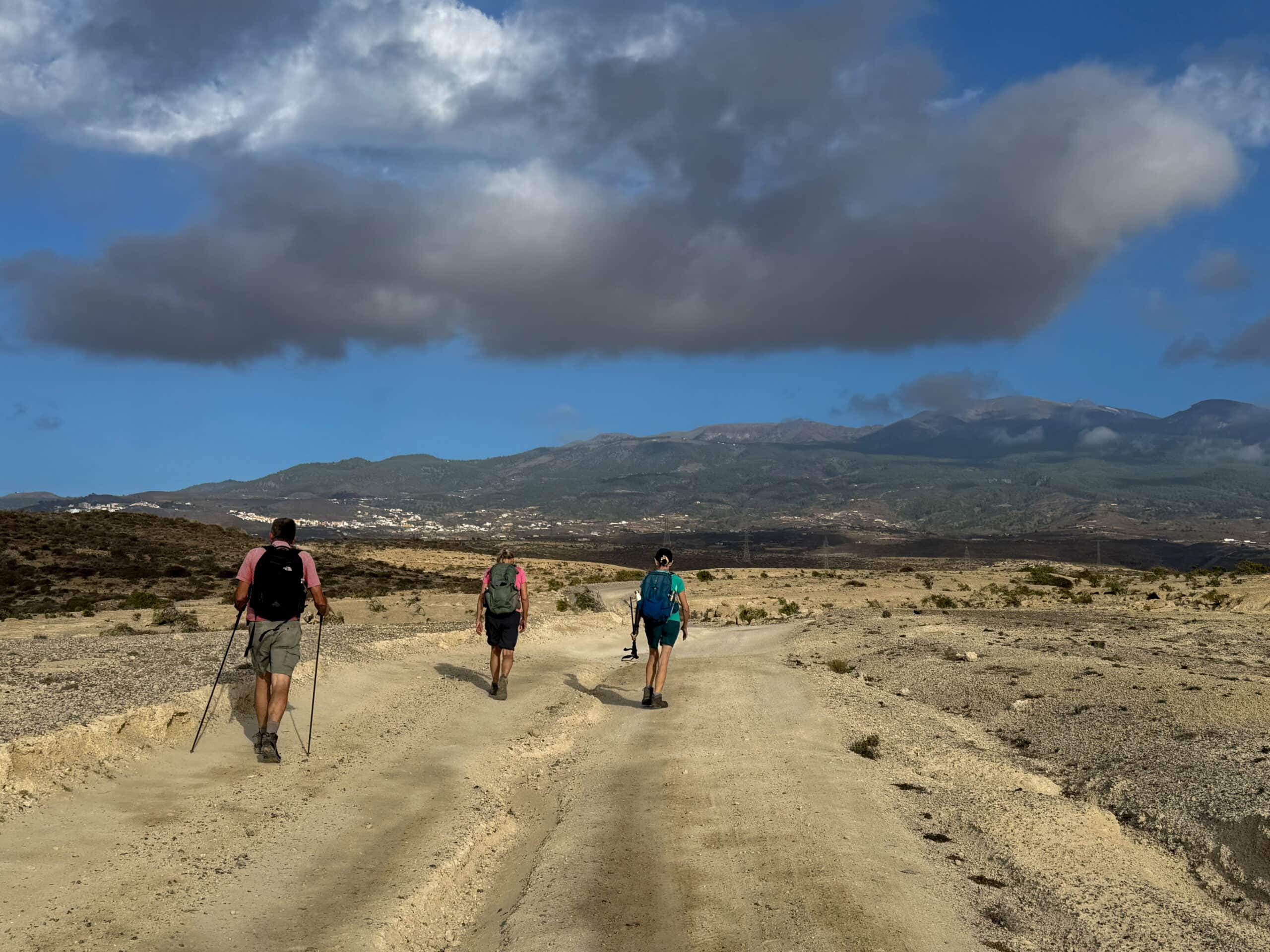
Hikers on the walking trail around Montaña de Ifara
The path runs along the boundary of the protected area and takes you past Cueva las Rosas and several other interesting old structures. You then pass some old cave houses, which you can of course take a closer look at. You can even enter some of them. After that, the path turns west. Here it meets the red track coming from the right. From this point onwards, both routes follow the same wide path for a while along the northern side of Montaña de Ifara.
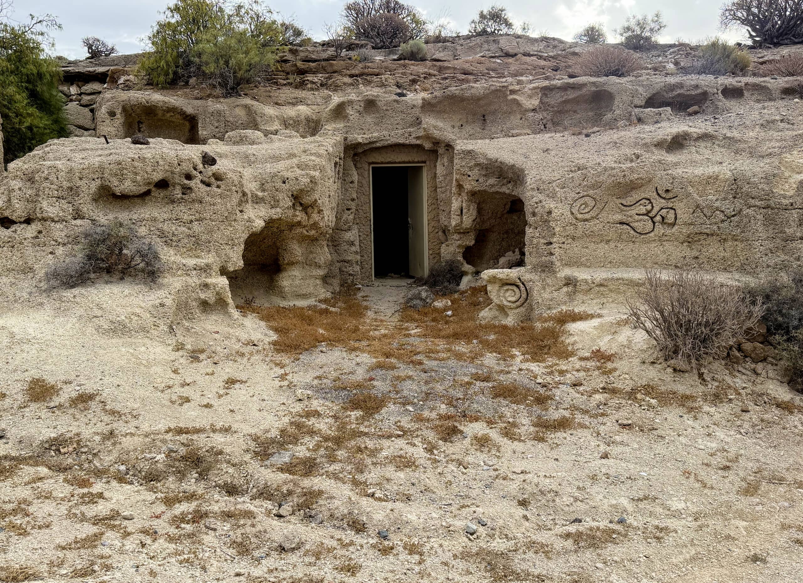
Cave dwellings on the walking trail around Montaña de Ifara
Route Section: Northern Side of Montaña de Ifara (Red Track) to the Starting Point of the Hike
After a while, you reach the western side of Montaña de Ifara. Here, you can descend to the left into Barranco de Ifara. This path is well worth exploring because of its rock formations and numerous caves. However, in some places it is a little difficult to find. Sometimes there are several possible paths to choose from. As bicycles apparently also use this route, you can sometimes follow their tracks for guidance.
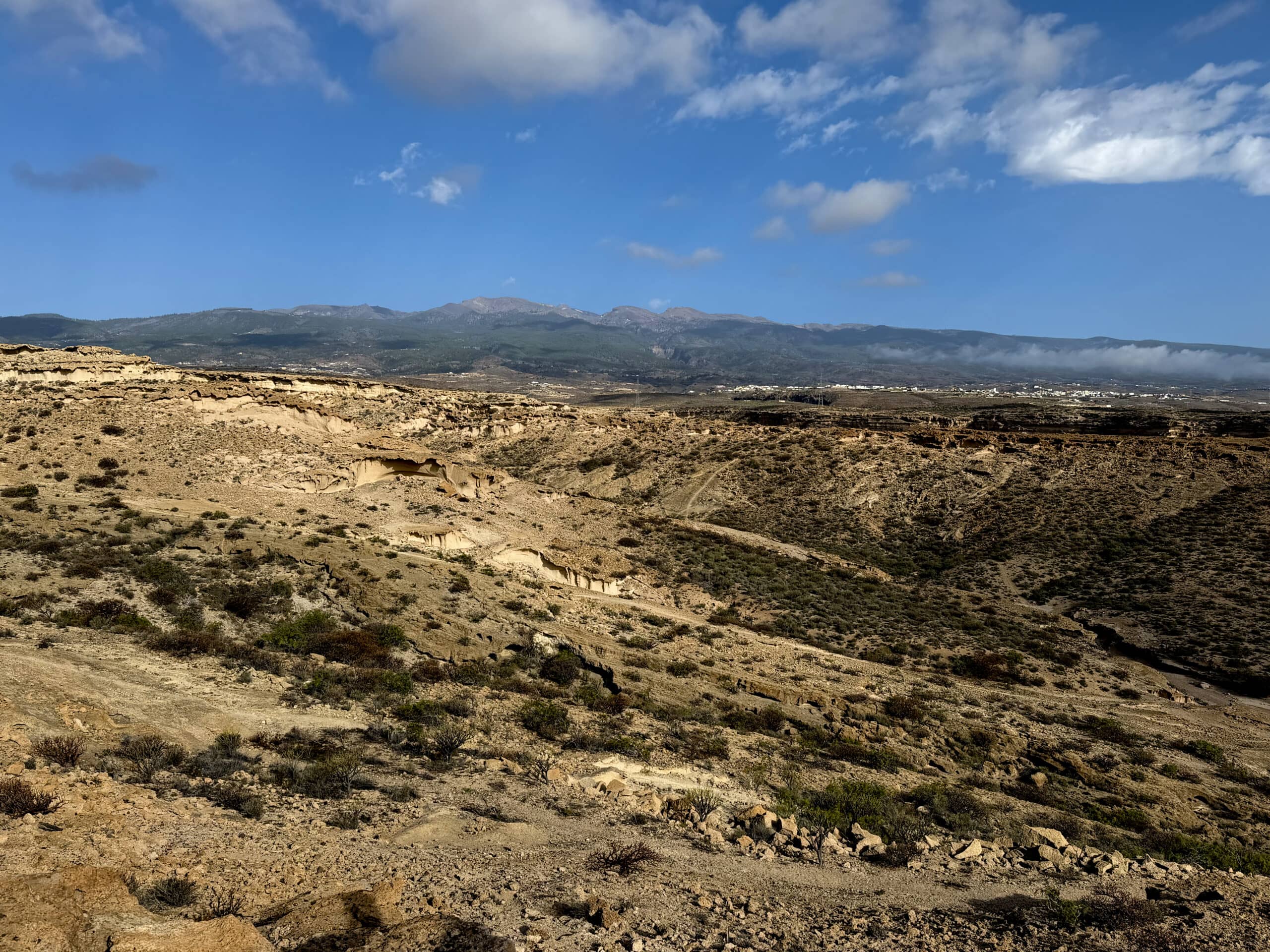
View across the vast landscape up to the Cañadas
Eventually, the path becomes wider and the ravine between the two mountains opens up a little. From here, you can already enjoy views towards the coast. After a while, you cross the green ascent path, which means that the two tracks can be combined very easily. You then continue through a small valley and up to a hill. And before long, you are back on the path running alongside the motorway towards your parking place.
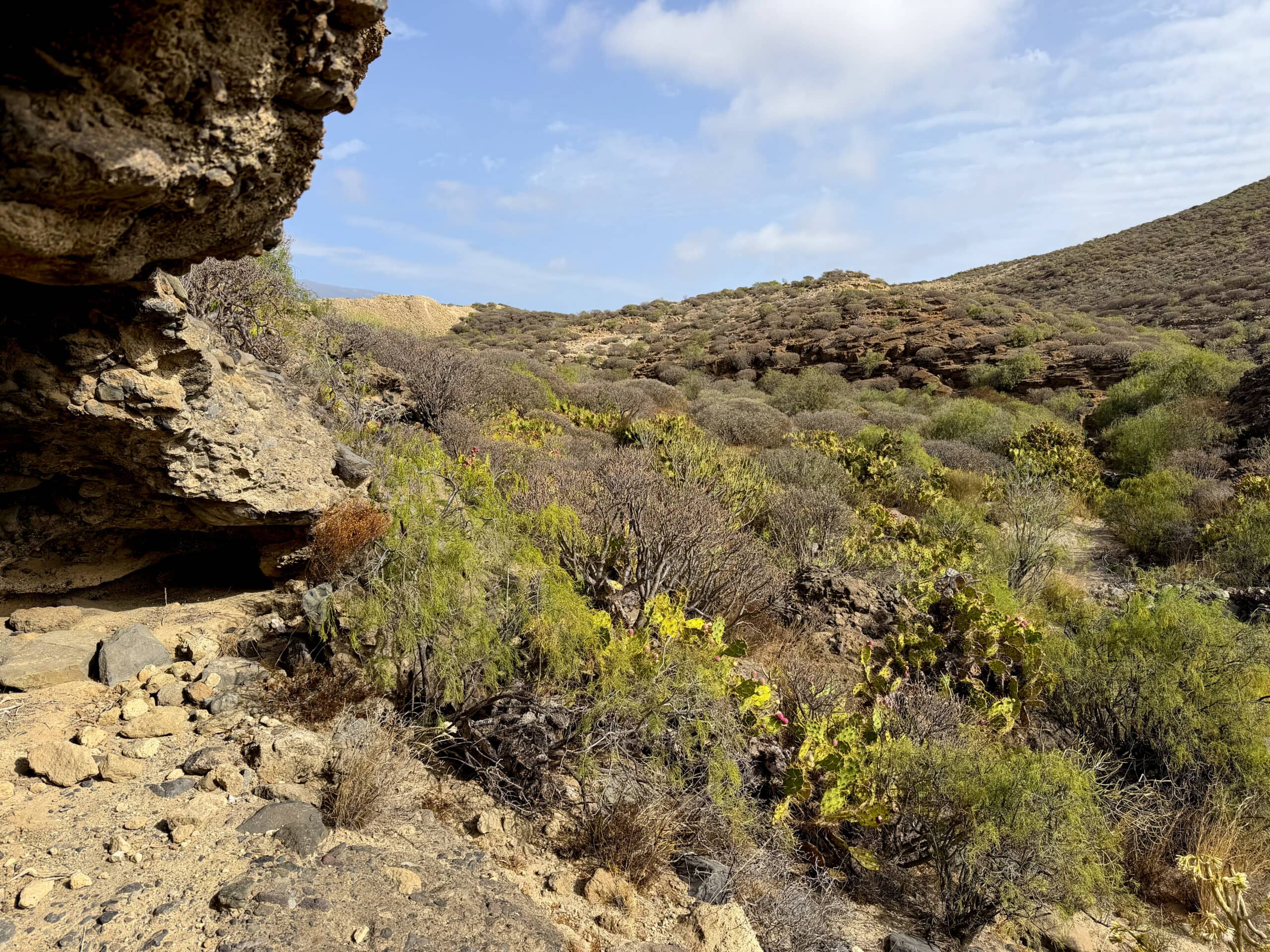
View down into the Barranco de Ifara
Route Section: Northern Side of Montaña de Ifara (Green Track) to the Starting Point of the Hike
If you do not want to walk through the ravine, continue straight ahead along the northern side of Montaña de Ifara. After a while, you cross a small ravine along a path. At the top, you come across a few buildings. Walk past them and eventually reach a small road. Turn left here and follow it downhill. Continue straight ahead as you pass several buildings.
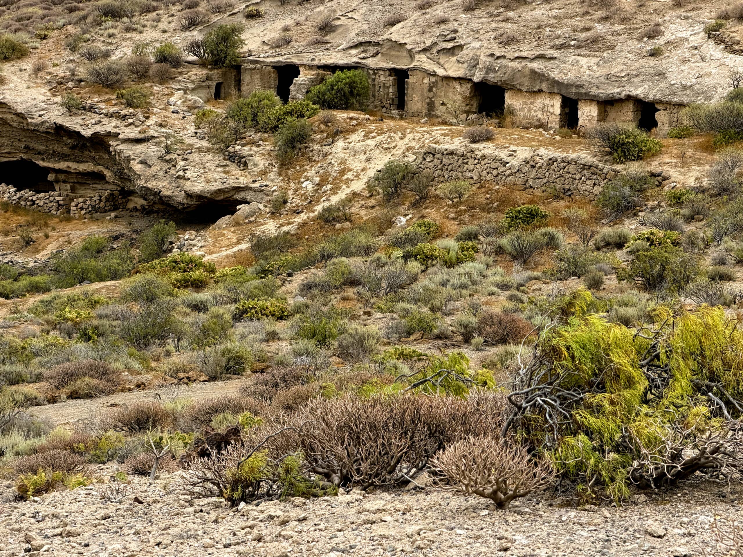
ave dwellings on the footpath around Montaña de Ifara
Eventually, you reach the foot of Montaña de Los Riscos and follow a path downhill along its northern and then eastern side towards the coast. From the descent, you can enjoy beautiful views of the coast ahead of you and Barranco de Ifara to your left. Finally, the path joins the one you came along. If you started at the service station, you can now turn right and follow the path back to your starting point.
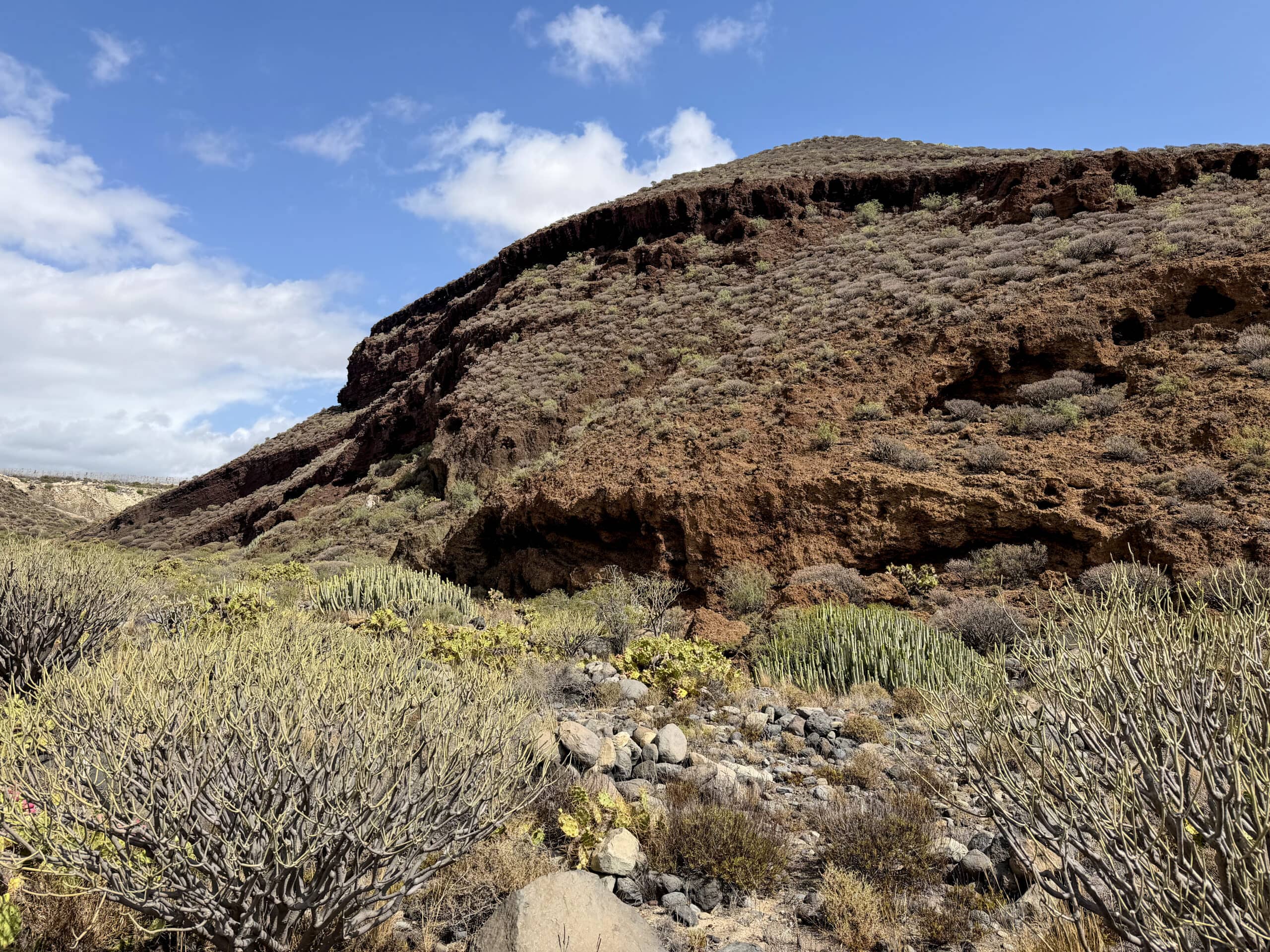
Montaña de Los Riscos with the Guanche caves
Hike around Montaña de Los Riscos (Blue Track)
You can start your circular hike around Montaña de Los Riscos at the motorway service station. After a short while, you will see a sign on your left indicating the protected area. You initially follow a wide path downhill towards the foot of Montaña de Los Riscos. The hiking trail takes you through Barranco del Callao. On your right, you can see numerous caves in the mountain, which are said to have once been inhabited by the Guanches. The path eventually becomes narrower. On the northeastern side of the mountain, you come across private fields.
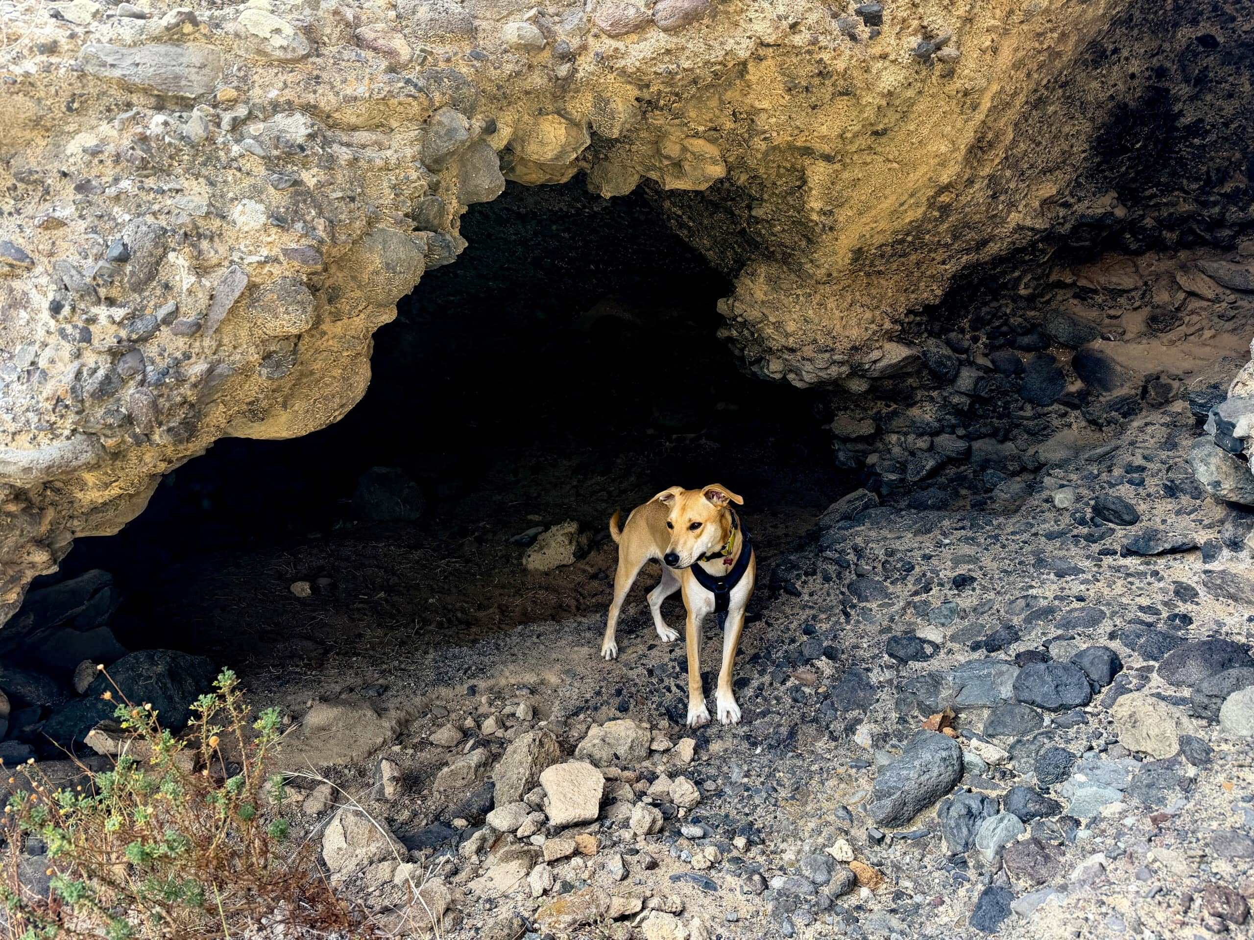
and there are caves to discover everywhere
You cannot continue here and have to follow a narrow path uphill to the right. This narrow path takes you along the northern side of the mountain, above the private property. After a while, you can already see a sandy track below you. Descend towards it. This is the same path I described earlier for the green track. It takes you down the eastern side of the mountain, with beautiful views, to the main path. There, turn right and return to your starting point.
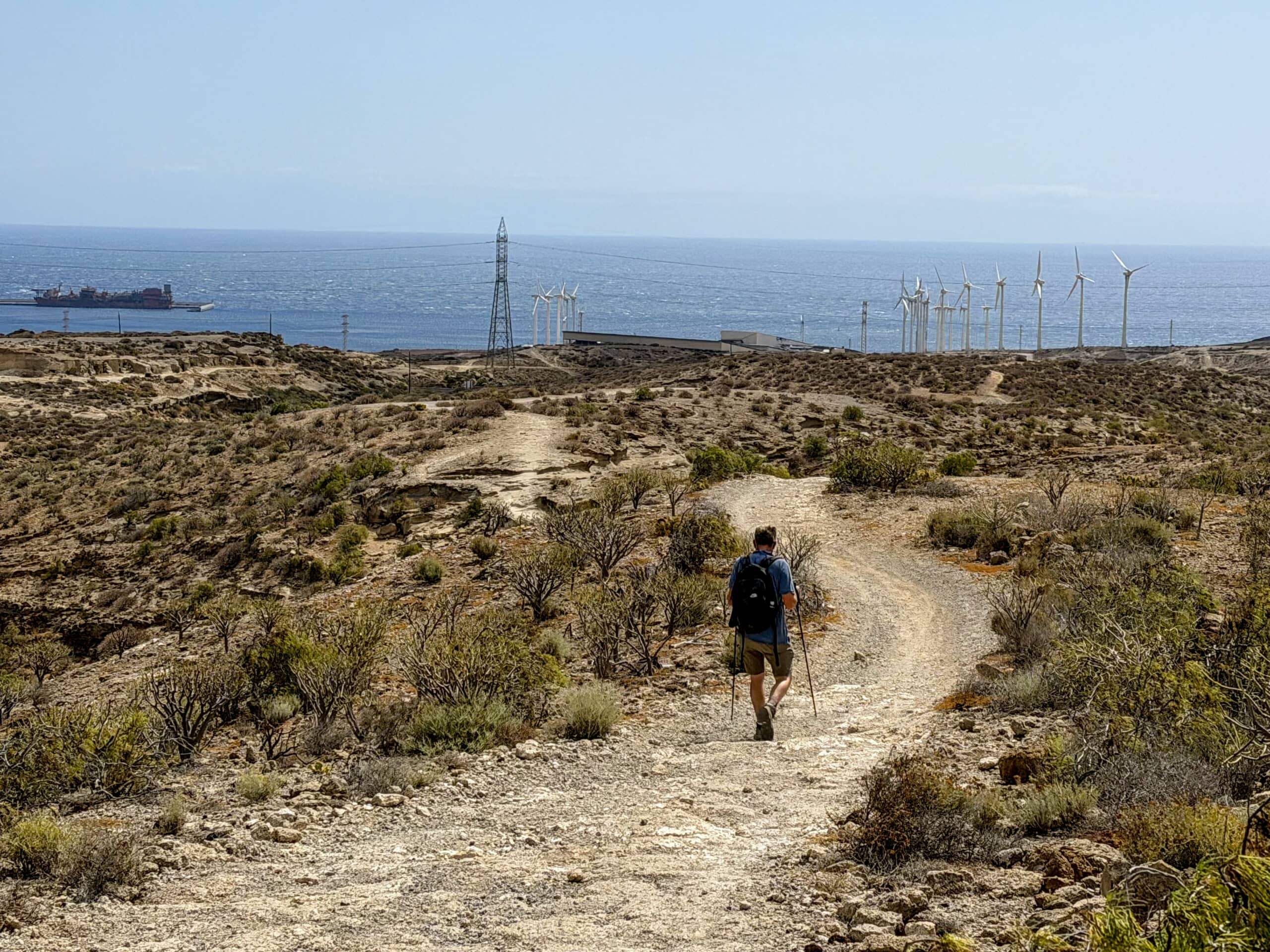
Hiker on the hiking trail round the Montaña de Los Riscos – descent route
And Finally
I hope you have enjoyed the different hikes in the area of Montaña de Ifara. If you take a close look at the tracks in the picture, you will notice that they overlap in some places. This means you can easily put together your own hike from the three routes, tailored to your needs. Whatever you decide, I wish you lots of enjoyment on all your hikes!
Dagmar from SiebenInseln
Thank you for reading!
If you've found my hiking guides on SiebenInseln helpful for your Canary Islands adventures, please consider leaving a small tip. Your support is greatly appreciated and helps cover the costs of maintaining this blog.
Thank you for your support!
SSL secured
Comments
There are no comments for this post yet.
Post the first comment