Afur – a good starting point for hikes in the Anaga Mountains
This circular hike starts in the small hamlet of Afur, hidden at 227 metres above sea level at the end of a road in the Anaga Mountains. From the Anaga mountain road you reach Afur via the hamlet Roque Negro.
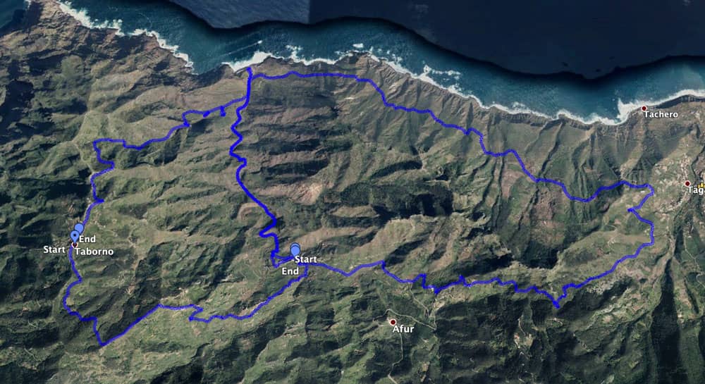
Map
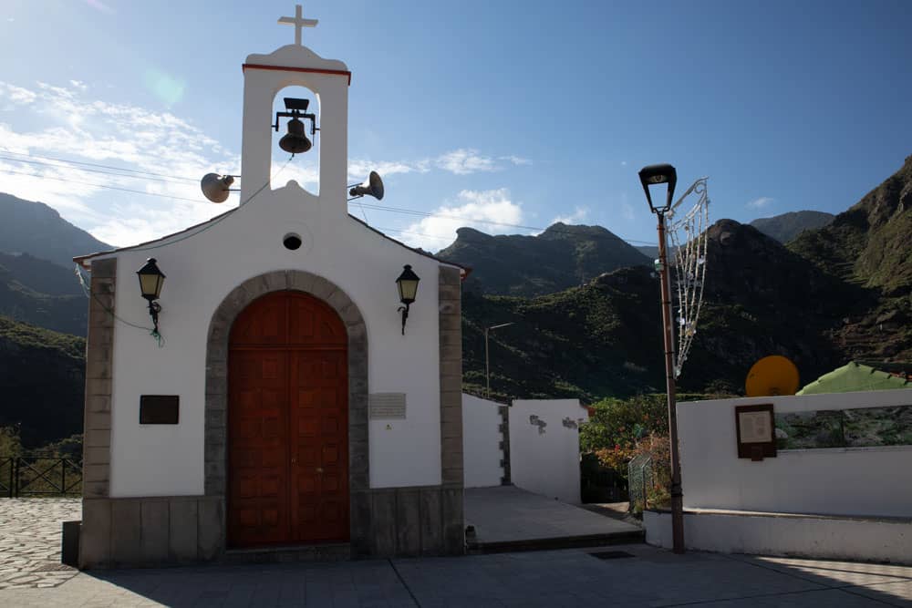
church of Afur
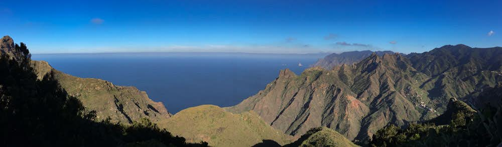
There you have a wonderful view of the Tamadite gorge, at the end of which is the beach of the same name (also called Tamadiste). Around Afur there are high mountain walls, of which the famous Roque Taborno stands out.
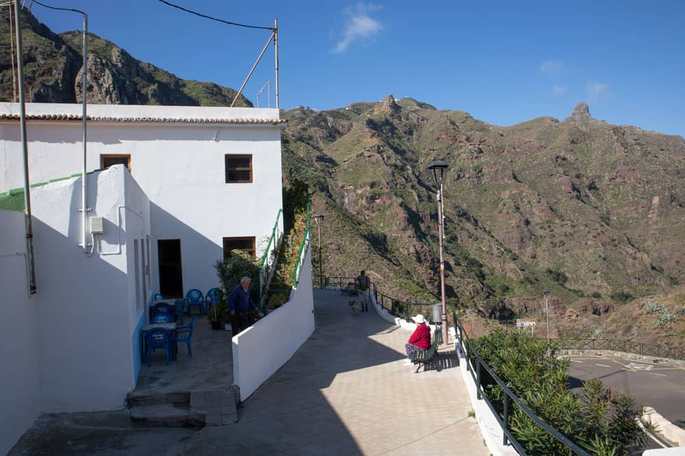
parking, hiking trail and bar in Afur
In Afur itself there is a small bar where local products and wines are sold. Even for non-hikers this tranquil little town is worth a visit. From Afur you can go hiking in all directions. Today I present a round trip from Afur to the beach of Tamadite/Tamadiste and further to Taganana. Soon there will be another hike, which starts in Taborno and leads via Afur through the Tamadite gorge down to the beach. Back it goes steeply up the mountains to Taborno. Both walks can be combined very well.
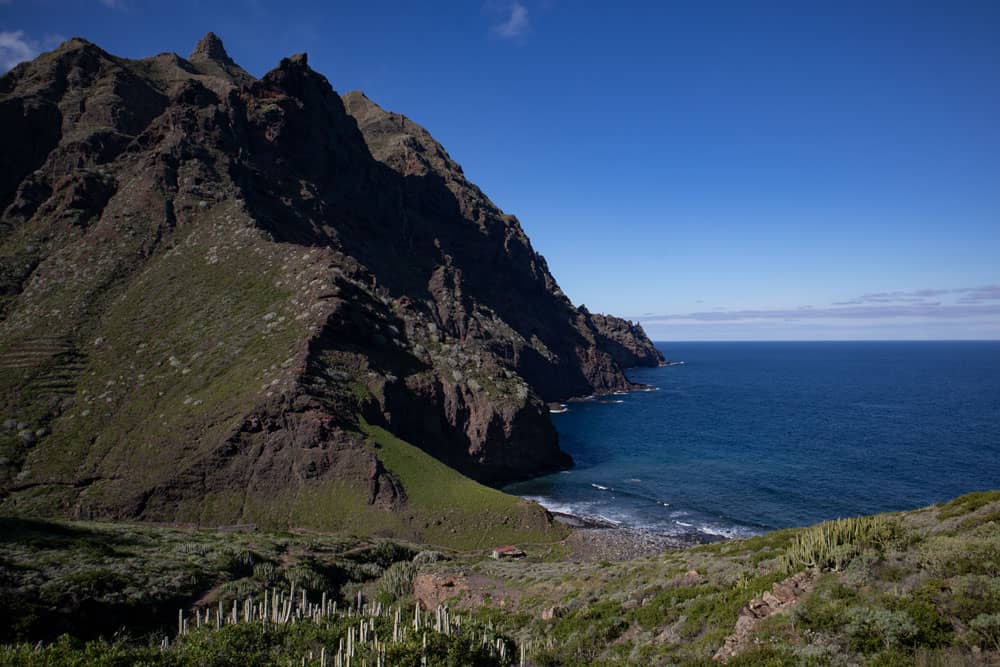
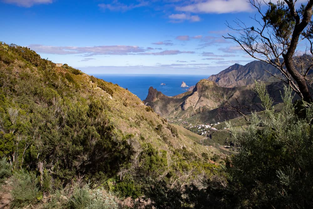
the bay of Tamadiste
Circular hikes around Afur
The circular walk described here takes you from Afur through the Tamadite Gorge to the beach of the same name. Afterwards you go up to the steep coast. The trail then takes you up and down the steep coast towards Taganana. Since there are some canyons to circumnavigate, the path continues. But you can enjoy wonderful views of the impressive Anaga coast.
hiking path along the coast Afur - Taganana
You finally reach Taganana via a small hamlet with a waterhole. If you like, you can descend into the village. Otherwise the way leads you first at the mountain slope over Taganana along. Finally the path climbs steeply up to Cumbrecilla. Up there on the summit there are fantastic views in all directions. Afterwards you go downhill and back to Afur.
track circular hike from Afur via Tamadiste to Taganana and via Cumbrecilla back to Afur
General information about the circular hike around Afur
Starting point and approach
You start at the church square of Afur, which is not to be missed, since it lies at the end of the tarred road to the place. Below the church square there is also a large parking lot.
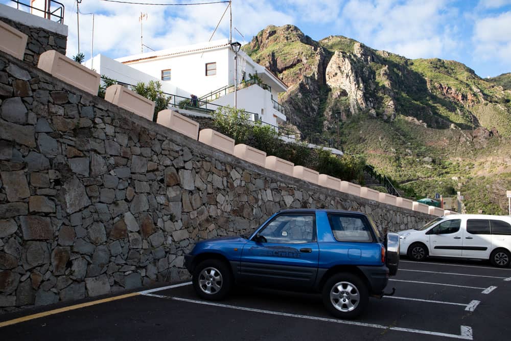
Starting point Afur parking
Approach by car
You come from direction La Laguna over the Anaga elevated road TF-12. After you have passed the Cruz del Carmen, some time later a road junction comes direction Roque Negro and Afur. Here you turn left and drive down the road through Afur to the end of the tarred road at the church square.
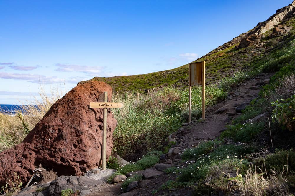
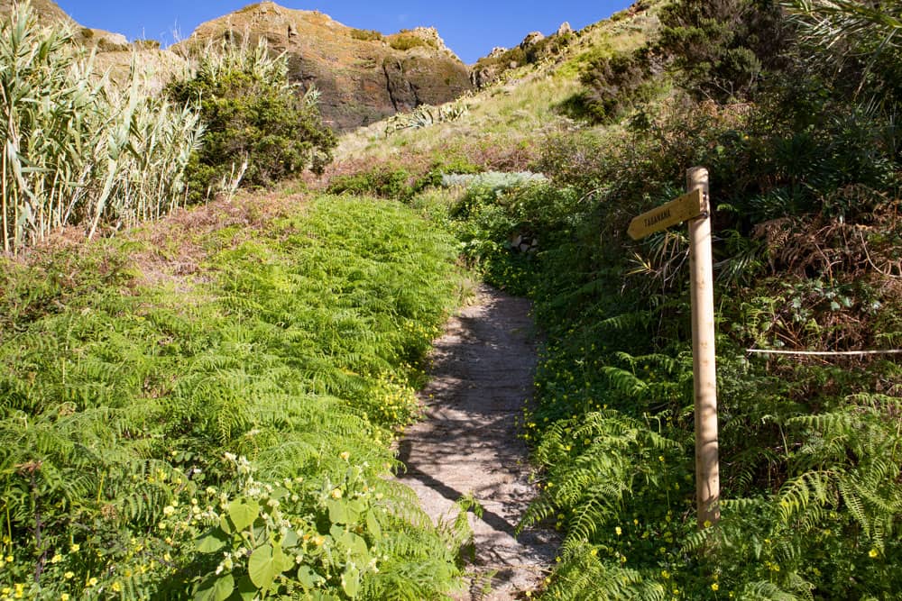
signposted hiking track to the beach of Tamadiste
Arrival by bus
The Titsa bus line (La Laguna-Afur) 076 stops in Afur. You find exact times on the Titsa homepage. Time
I don’t like to give general time information for hiking tours, because the times are very individual. I needed 5 hours for this tour with long breaks.
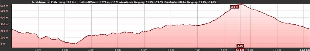
elevation profile circular hike Afur - Tamadiste - Taganana - Afur
Difference in altitude and distance
The difference in altitude is about 740 meters and if you want to descend to Taganana there are over 800. The distance is about 12 kilometers long.
Requirement
You need a good physical condition because of the length and some ascents. On the steep coast there are few places that also require surefootedness and a head for heights. Otherwise, the hiking trails are well marked and feasible for everyone.
Refreshment
Restaurants, bars and shops are only available in Taganana and a bar/small shop in Afur. So take enough water and food with you when you go.
left to right: circular track Taborno-Afur-Tamadiste-Taborno and
Afur-Taganana-Afur
Variants
This tour can be combined well with various other hiking and circular walks in the vicinity. You can very well combine this circular walk with the adjacent circular walk around Roque Taborno. 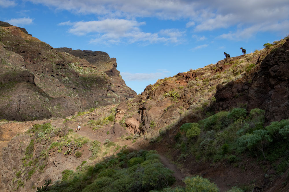
Goats accompany hikers on their way to Tamadiste
Circular hike from Afur via Tamadite and Taganana
Section Afur to Tamadite Gorge, Barranco Grund
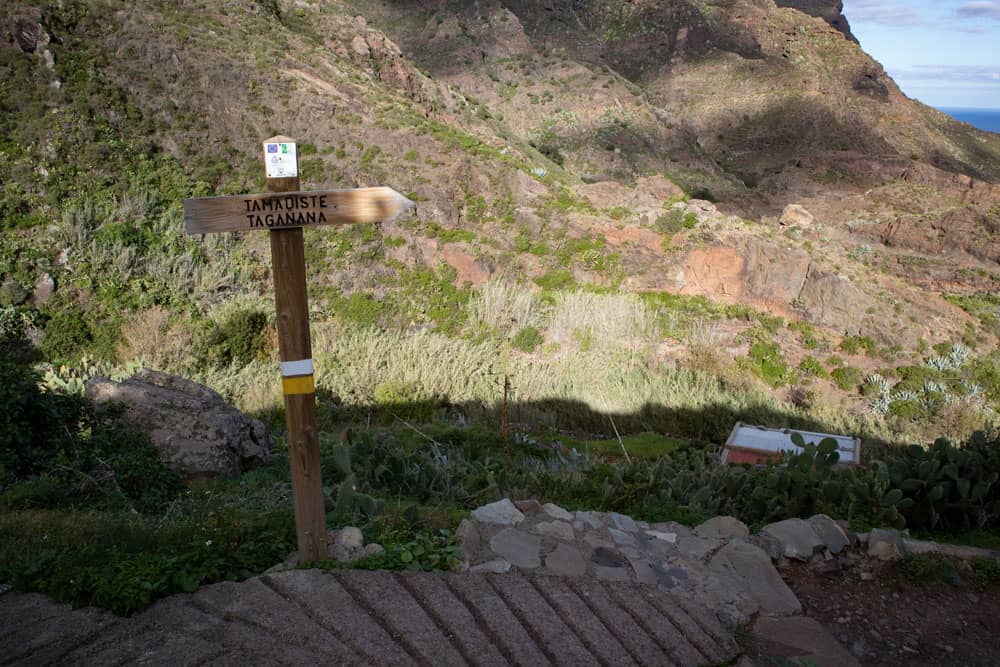
You start your hike at the church or the parking lot of Afur below. The trail is signposted Tamadiste and has yellow and white markings. From the car park you first follow the road. Shortly afterwards the hiking trail PR TF 8 turns right and takes you down into the Tamadite gorge. You first walk along the slope. From time to time even some parts of the trail, which are particularly steep, are secured with a railing.
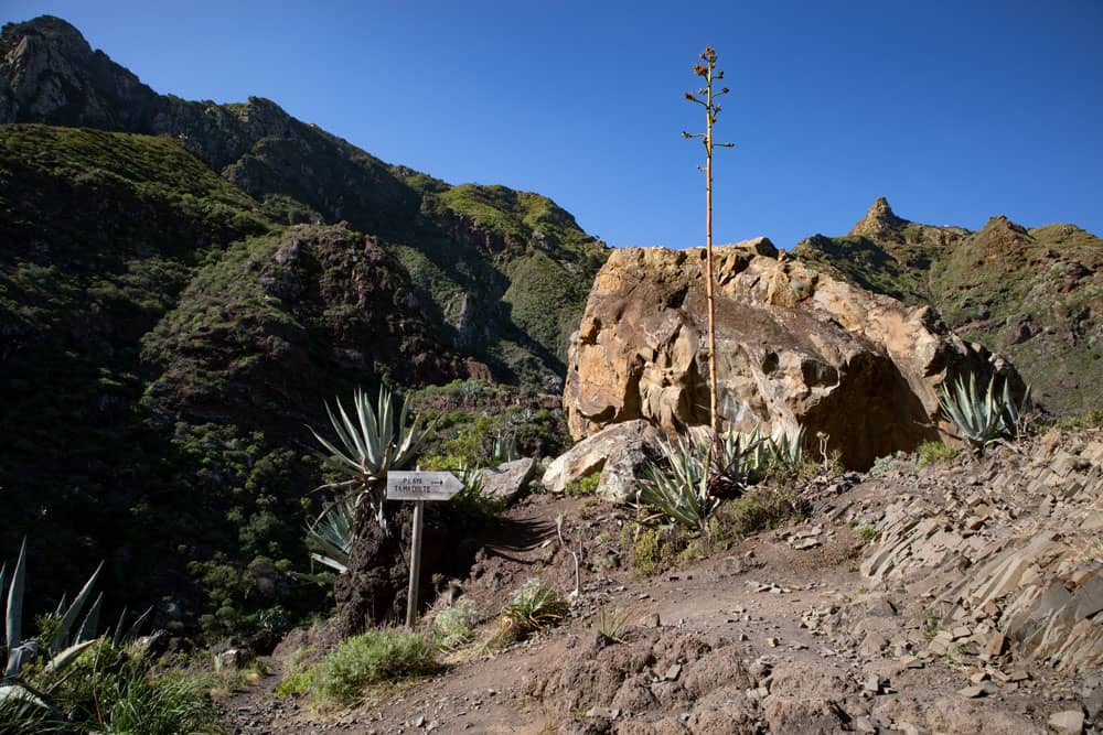
signpost on the hiking path to the beach of Tamadiste
In this section you hike high above the Barranco Grund. From time to time you can also meet goats looking for food on the lower slopes of the village. After some time you will reach a small pass between high rocks. There it goes down steeply on the other side. You walk on the slope side and slowly approach the bottom of the Barranco. There can be a lot of water here depending on the season. But in general the bottom can be crossed on big stones.
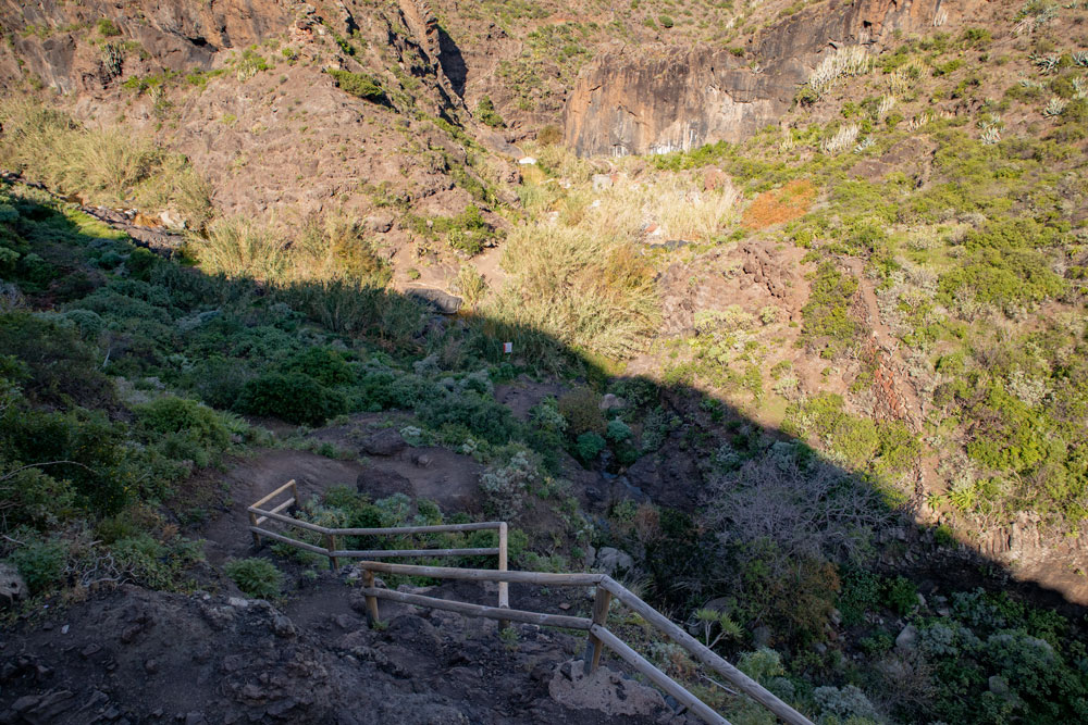
Steep descent with handrail secured in the Tamadite gorge
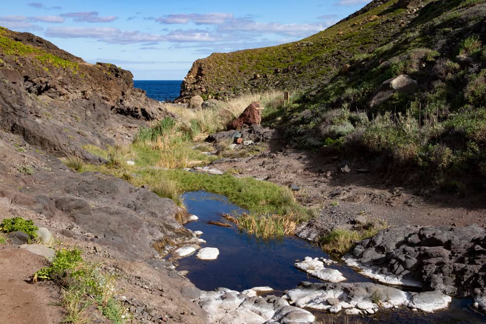
Section Tamadite Gorge, Barranco Ground to Tamadite Beach
You walk through reeds and then along a path along rocks on the other side of the Barranco. The path now climbs up again high above the Barranco Ground. In an arc it leads you up to another rocky peak, which you avoid. On the other side you can already see the Atlantic in the distance. Once again it’s about another rock up and down. Then you slowly walk downhill towards Tamadite/Tamadiste beach.
hiking trail through the Barranco into the Tamadite gorge
On the left above you are now some small houses and many terraced fields. To your right is the Barranco bed. From time to time you will come across large or even small waterholes, some of which are covered with reed. They are separated by rocks and cascades and really pretty to look at. You walk through a green and very varied landscape. Then you come to a junction. Straight ahead you go to the beach in shortest time. You should definitely pay a visit to it. On the hot dark stones you will find more than just a lizard.
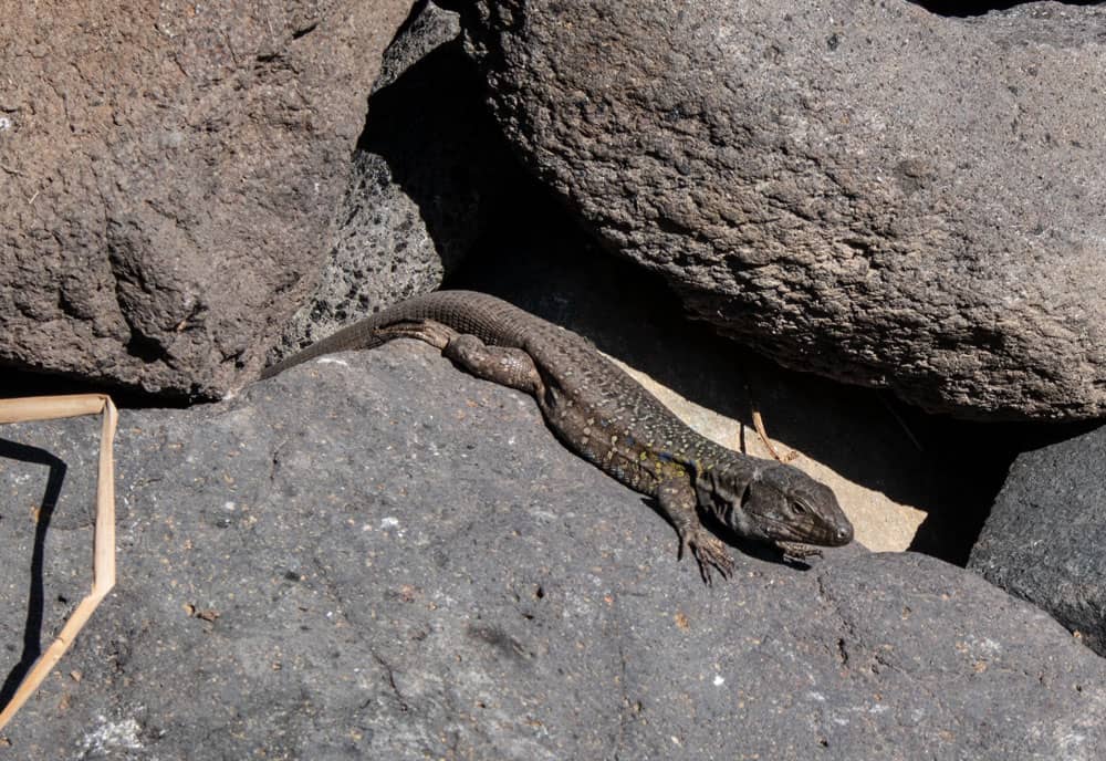
lizard at the beach of Tamadite
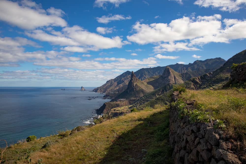
Route section Tamadite beach to viewpoint (start of drive)
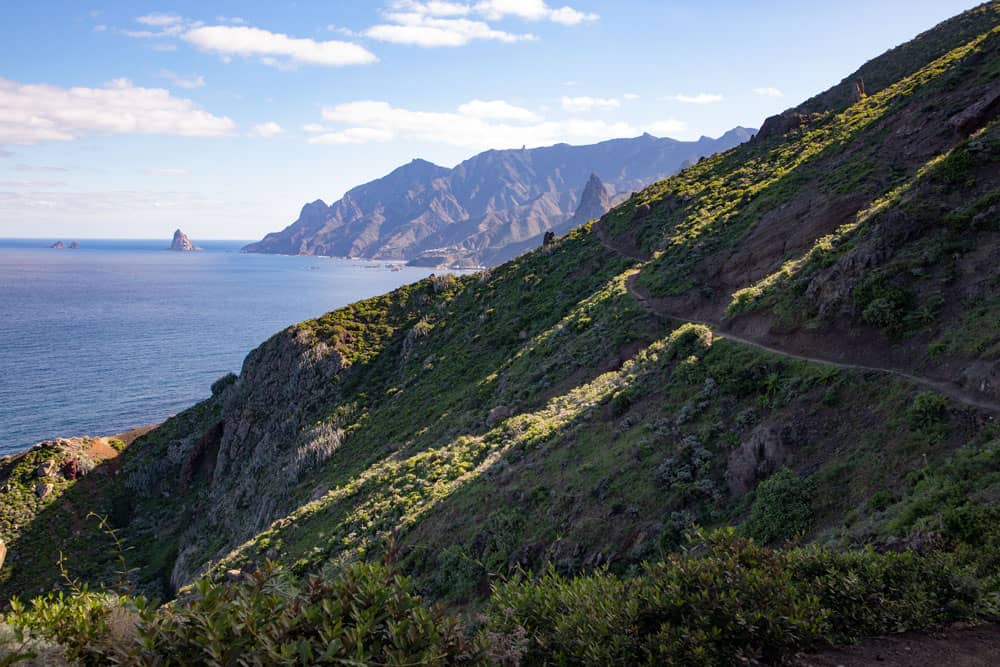
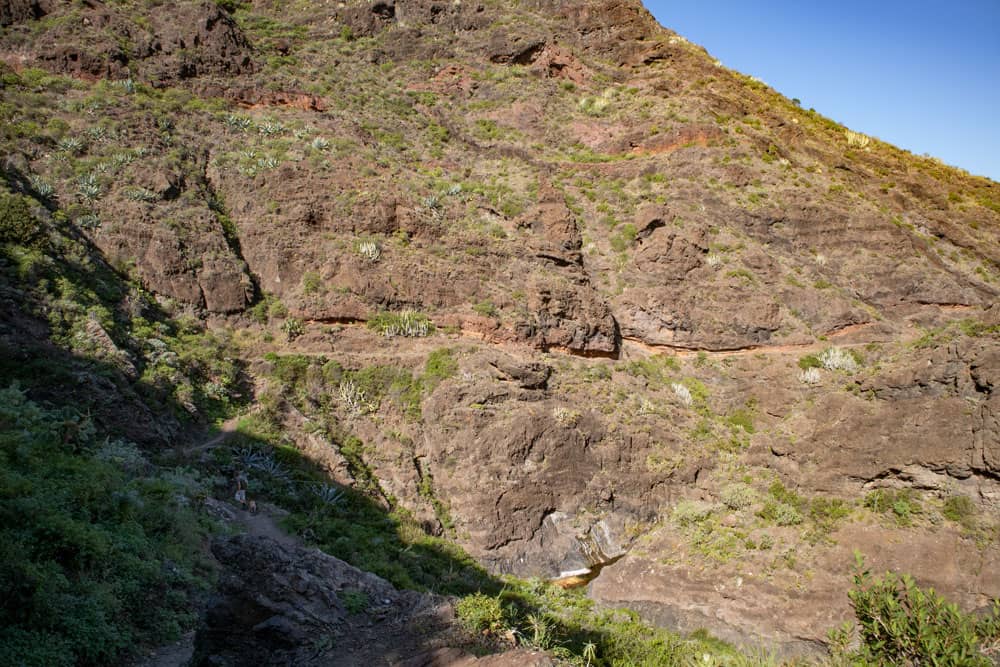
Back from the beach, turn right at the fork and follow the signs for Taganana. At first the path quickly climbs steeply. After a short time you will leave the beach and the Barranco far below you and can enjoy wonderful views back. In less than half an hour you will reach the top of a pass. From there it goes now to Taganana always along the steep coast. The path is wide and well laid out. Nevertheless it runs from time to time directly along the abyss.
hiking path along the coast to Taganana
Article summary and large selection of GPS hiking tracks
Sign up for my newsletter now and get exclusive access to my collected GPS tracks as well as all the brief information about my articles.
Sign up nowSince the steep coast is cut by many gorges, you now have to bypass one Barranco after the other in up and down. From time to time you are high up and can enjoy beautiful views. Then it goes steeply down again to cross a Barranco on steps from time to time. On the opposite side you climb up again. This section is quite long. The way is not to be missed and the view is indescribably beautiful. Then the narrow path ends at a kind of vantage point.
Barranco close to the beach of Tamadite with the junction
Section Viewpoint (start of route) to Taganana junction
Now follow the road that takes you uphill from the vantage point. It will take about 20 minutes. Then you will come across the first houses, gardens and fields. On the right side you pass a small waterhole where you can fill up with water if necessary. After you have walked along the road for some time, the path branches off to the right uphill. It runs along a water channel. This small elevation crossing saves you the long detour you would take if you continued to follow the road.
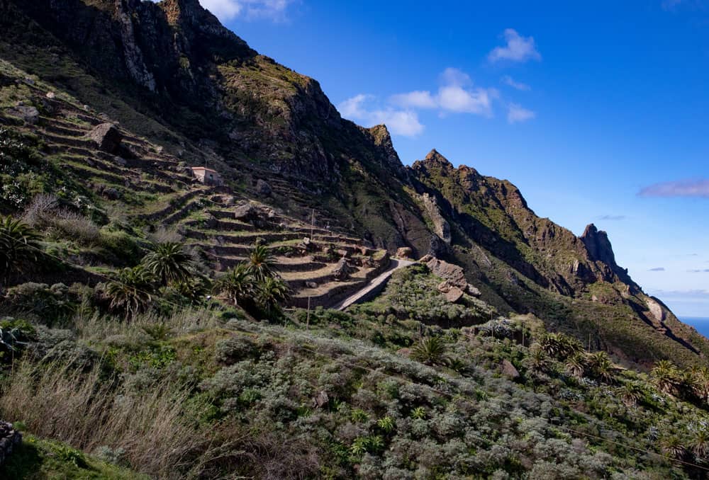
terraced fields on the mountain slopes
After you have taken the shortcut on the path over the height, the path meets the hiking path again. The road here is called Calle Lomo La Chanca. After a short time there is a small path on the left. On this path you can quickly descend to Taganana to see the village. Depending on how extensively you want to see Taganana on this tour, your hiking tour will take longer.
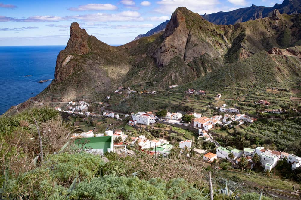
view down to Taganana
Section junction Taganana to forest
If you don’t want to descend to Taganana, just follow Calle Lomo La Chanca straight ahead. It will take you past several houses. And after a bend behind the last house, the path turns into a driveway. Here you will already find signs pointing to Cumbrecilla. Follow the road for a while straight ahead towards the mountains. You ignore all junctions.
If you don’t want to descend to Taganana, just follow Calle Lomo La Chanca straight ahead. It will take you past several houses. And after a bend behind the last house, the path turns into a driveway. Here you will already find signs pointing to Cumbrecilla. Follow the road for a while straight ahead towards the mountains. You ignore all junctions.
view to Taganana
Only when the small hiking trail to Cumbrecilla is signposted on the right do you leave the road. On a small white sign you can read in black: Cumbrecilla Afur. A few steps lead up. The path then climbs steeply up the mountain. At first it winds around some houses and private gardens, and then climbs through green bushes. Power lines run to the right of you. Finally the path turns into a forest path.
view from the Cumbrecilla back to Taganana
Forest section to farmstead
The steep Camino winds its way more and more up through the forest. After about half an hour you’ve made it. You reach the Cumbrecilla (607 m altitude). Here is not only a hiking crossroads where many paths meet. From the Cumbrecilla you can also enjoy a wonderful view towards Taganana as well as towards Afur and its surroundings.
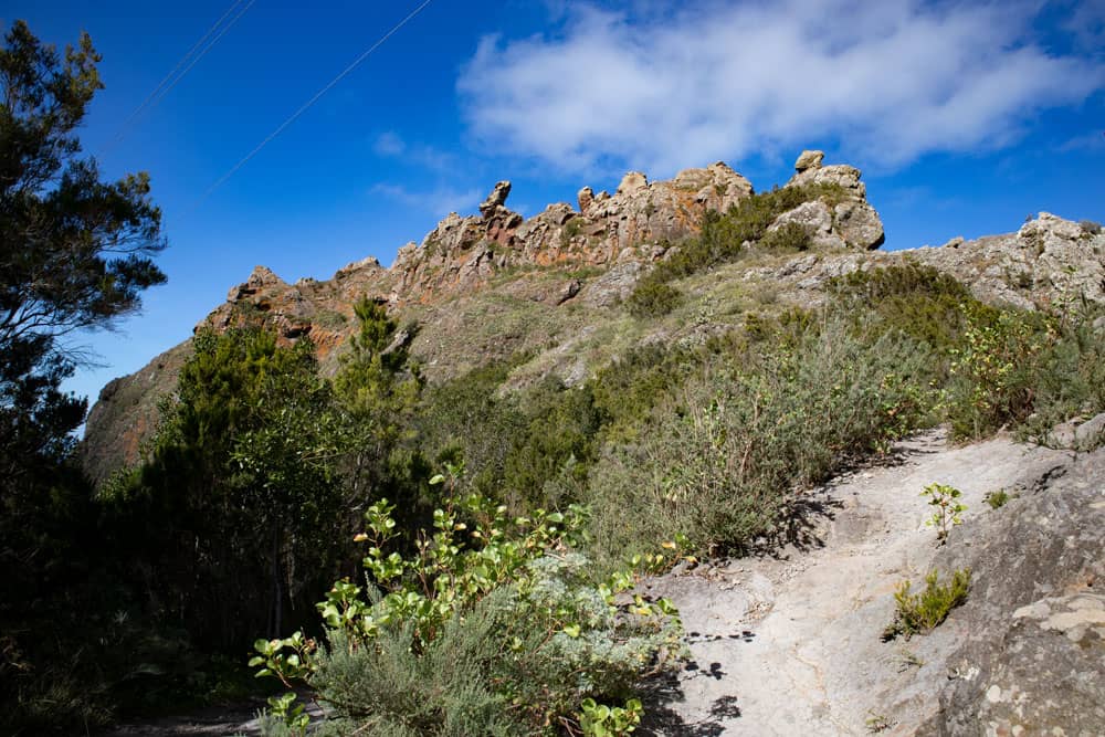
Cumbrecilla above Afur
If you have enjoyed the beautiful view enough, you will now go down to Afur on the path on the right. First the path goes through the forest. But soon you will have a clear view of the valley in front of you. You walk around a farm. At the next farm the path turns into a concrete path, which you follow for a while. Then you reach a fork. Here you go right with the path further towards a farm, which you cross.
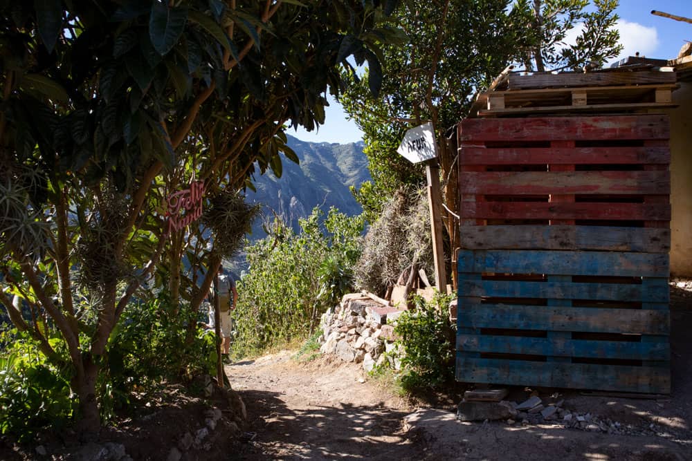
hiking path through little homesteads to Afur
Section homestead to Afur
At the end of the farm the path continues on a path. This will take you down to the road to Afur. Turn right at the road. Since there is hardly any traffic, hiking along the road won’t bother you too much. After you have walked about 1 kilometre along the road, you can now turn left onto the hiking trail.
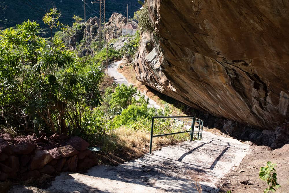
Rock overhangs on the hiking trail to Afur
You go with it on a shortcut opposite the road on a well laid out path over Afur. The path runs under rocks. Finally you get back to the centre of Afur and back to your starting point.
hiking path with signpost at the road of Afur
And finally
I hope you enjoyed this beautiful circular walk in Anaga. I have heard from several hikers that this is their favourite route in Anaga. Maybe it will be yours. I wish you good experiences and safe hiking on all your hikes,
Dagmar von Siebeninseln