Caves in Tenerife
The topic of „caves on Tenerife“ alone could fill several books. But since I like to present hiking routes here, there are only a few very brief remarks about caves on Tenerife. Due to volcanic activity on the Canary Islands, many natural caves have formed over millions of years. The most famous and also the largest volcanic tube in Europe is the Cueva del Viento, a small section of which can also be visited. Also well known is the ice cave on Mount Teide discovered by Alexander von Humboldt. Map

Cueva del Viento - the most famous and largest volcanic tube in Europe - here a guided tour by a scientist
Finally, you may know the Cuevas Negras between Erjos and Los Silos. The indigenous people of Tenerife, the Guanches, lived in the numerous natural caves on the island. The same applies to the indigenous people of the other Canary Islands. In the 1970s, some of the caves were reactivated by the hippies, who used them for housing and living. But even today, throughout the Canary Islands, you can still find many buildings built into the rock or using rock walls as natural walls for living purposes and as stables for animals. 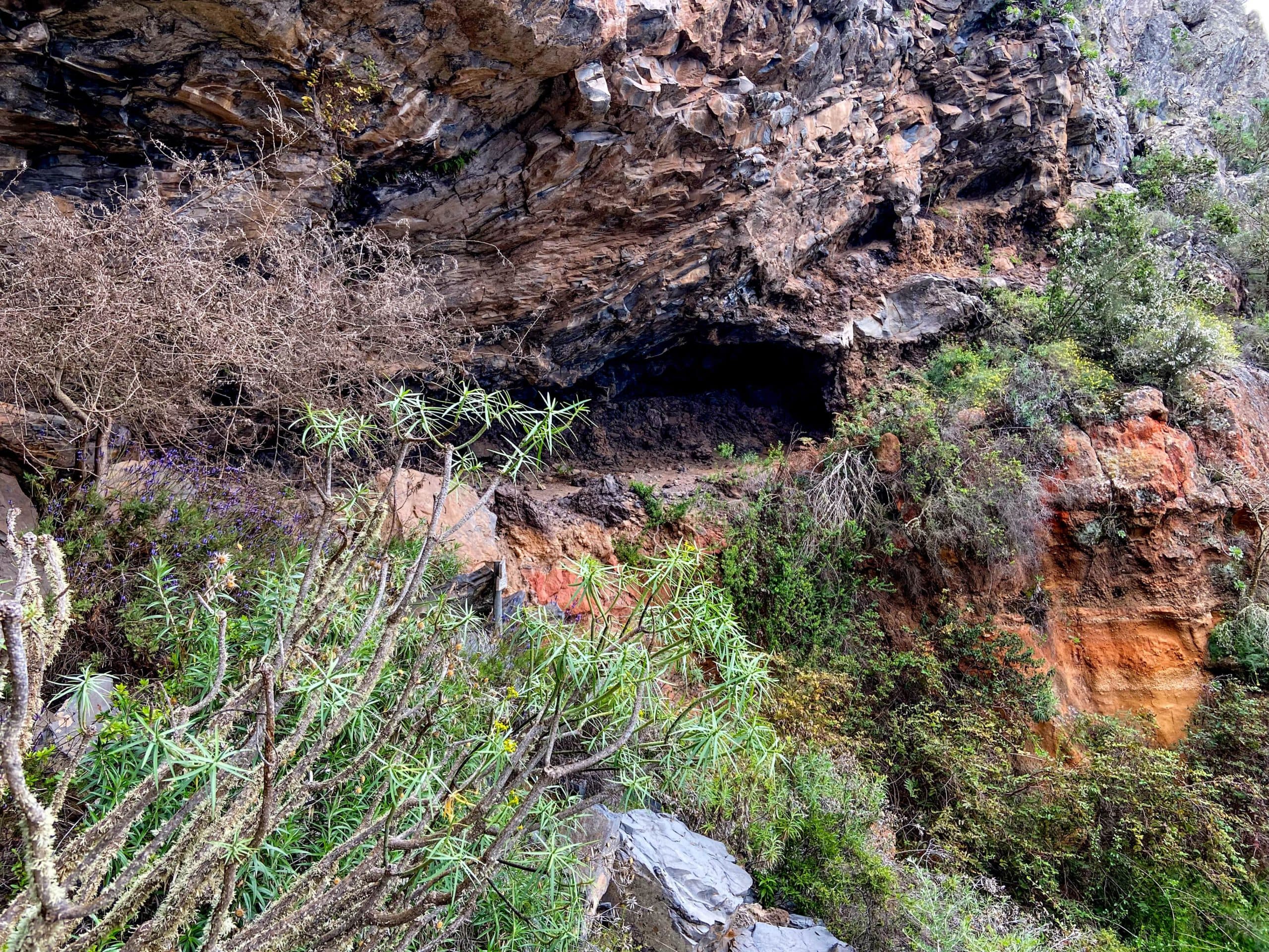
Hidden cave in the rock wall
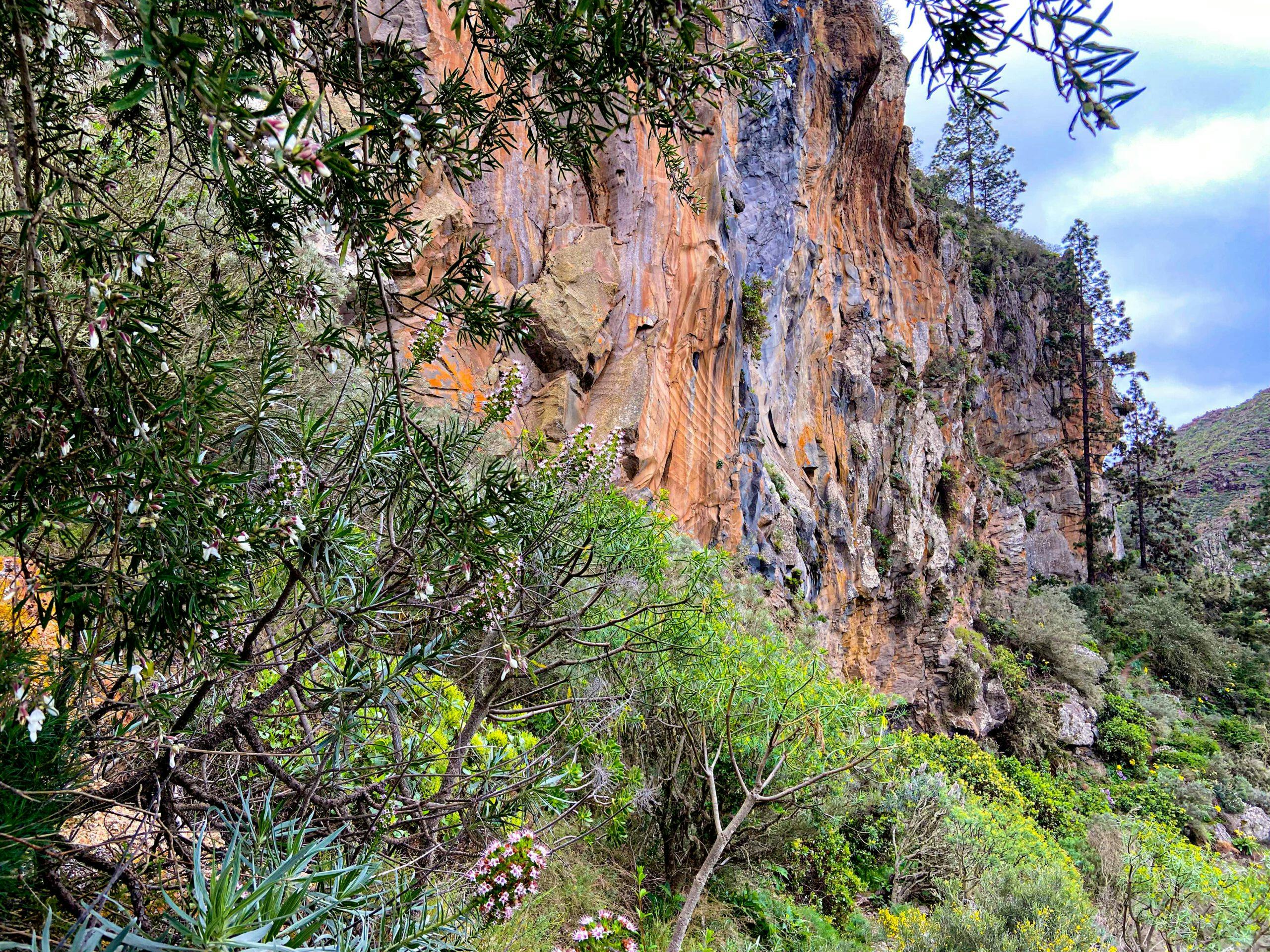
Hike below Ifonche to the caves in an impressive rock face
In the wider area of Ifonche, there are very many caves to visit. Some of them are made of sandstone. But the caves that can be seen on this hike are natural caves in the rock that may have already been used by the Guanches, or in any case later by hermits or hippies for living purposes. Today they are empty. On this hike you can visit some or many of the old and often named caves.
Cave below Ifonche
I have already presented many hikes around Ifonche, as Ifonche is indeed an ideal area for hiking. You can find more about this under Variations. The part of the hike that goes past the caves is new to Seven Islands. The other parts are partly combined with already known hikes. Because of the variety of options, you will certainly find your own optimal hike at Ifonche to the caves.
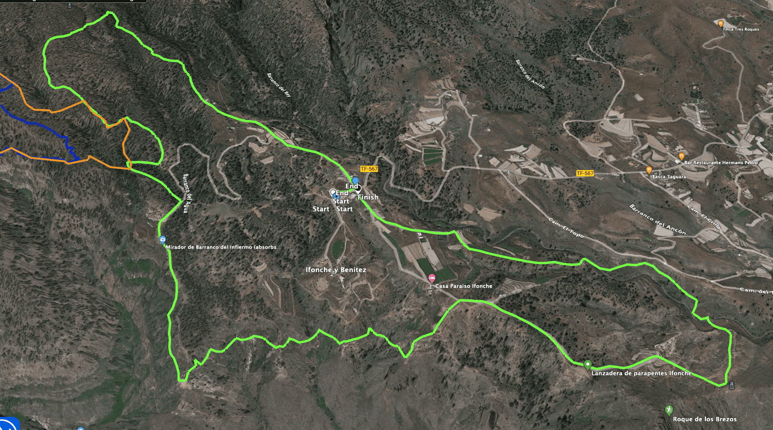
Ifonche Caves Circuit Track
General information about the cave walk below Ifonche
Starting point and approach
The starting point of the hike is at the El Dornajo restaurant in Ifonche at the end of the TF-567 road. GPS data: 28.134967, -16.690105.
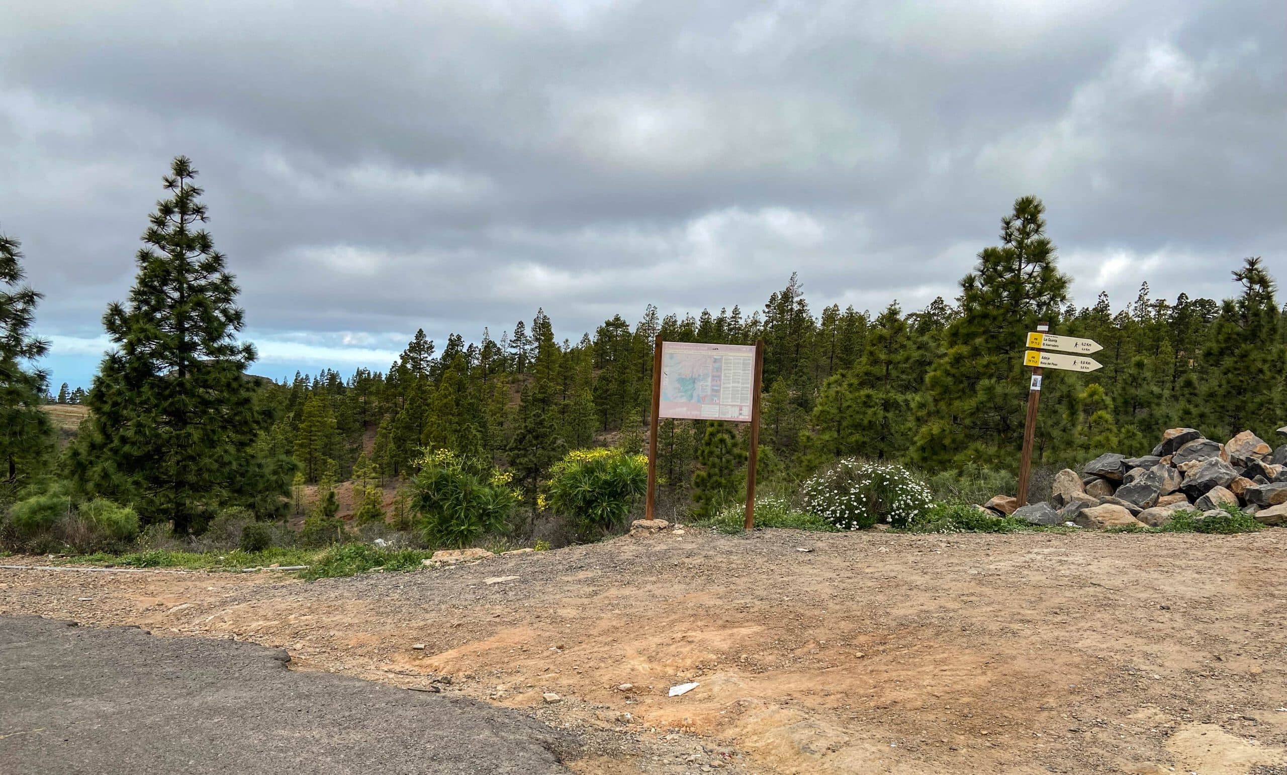
Starting point Caves Ifonche hike
Arrival by car
You leave the TF-1 motorway in the south at the Arona exit. Continue on the TF-51 through Arona towards Vilaflor. At La Escalona, turn left/straight ahead onto the TF-567. Continue straight ahead until the (almost) end of the road. There you will find the restaurant El Dornajo. From the north, take the TF-51 via Vilaflor to La Escalona. There is plenty of parking in front of the restaurant and along the road.
Arrival by bus
From Adeje there is the Titsa bus line 342 to El Portillo. It also stops in Ifonche. Details can be found on the Titsa Homepage. Time
I don’t like to give general times for hiking tours, as the times are very individual. We needed just under 4 hours for this hike with extensive cave visits and a rest stop.
Article summary and large selection of GPS hiking tracks
Sign up for my newsletter now and get exclusive access to my collected GPS tracks as well as all the brief information about my articles.
Sign up now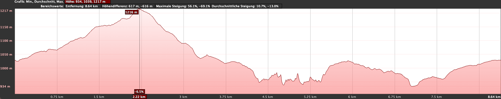
Altitude profile of the cave hike around Ifonche
Altitude difference and route length
The difference in altitude is about 485 metres and the route is just under 10 kilometres long.
Requirements
Basically, this hike is an easy circular tour on good paths. It is easy to do with a little physical fitness. You should be sure-footed and free from vertigo on the narrow paths at the edge of the Barranco.
Refreshments
In Ifonche, at the start and end points of the hike, there is the El Dornajo restaurant. Otherwise, there are no other food options along the entire route. Therefore, take enough water and, if necessary, food with you.
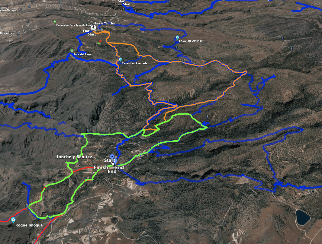
Tracks of the neighbouring hikes at Ifonche - to be found on Seven Islands - yellow the tour described here.
Variantes
This tour can be combined well with various other hiking and circular walks in the vicinity. Here are some choices as an alternative or combination:
- 1.0
- 2.0
- 3.0
- 4.0
- 5.0
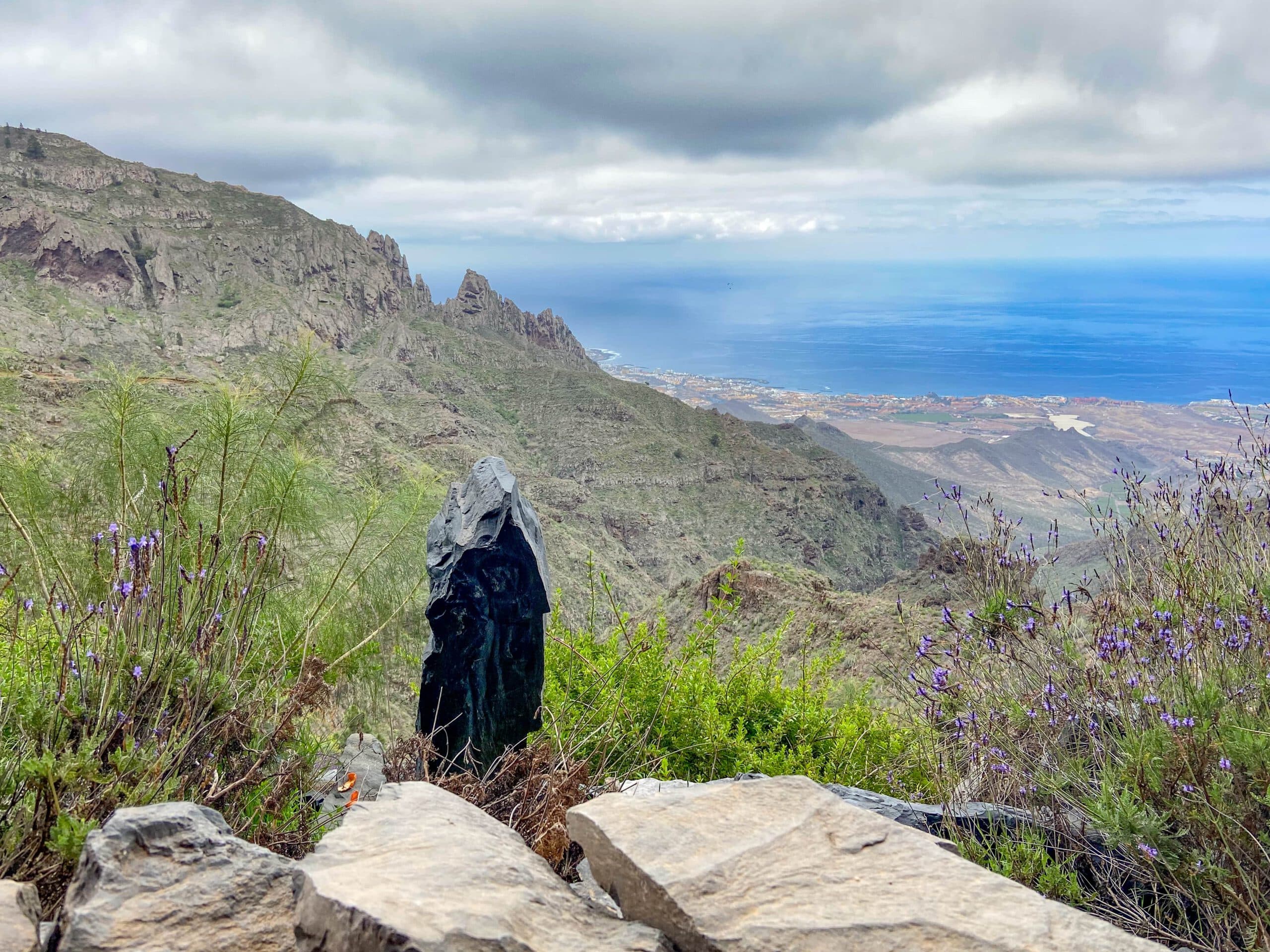
Hiking trail near Ifonche with a view of the foothills of the Cañadas
The combination possibilities really do seem endless at this hiking hub and there are numerous other hikes that start in or near Ifonche. I may publish more hikes from this delightful hiking area soon.
If you would like to shorten the hike, simply skip the first two sections and hike from Ifonche with the main hiking trail in the direction of Adeje to the crossroads to the Mirador de Barranco del Infierno. Another way to shorten the route is not to take the road to the right after the caves towards Roque de los Brezos, but to turn left back towards the starting point.

Hiking trail below Ifonche on the slope with the caves
Hike to the caves below Ifonche
Section Ifonche to Barranco del Agua
You start your hike at the small crossroads in front of the El Dornajo restaurant in Ifonche (1032 metres altitude), where there is a hiking trail signposted next to the hiking signboard in the direction of Vilaflor (GR-131). Follow this initially wide road uphill between fields and past two buildings. After a short while, a signposted hiking trail branches off to the right of the hiking trail downhill towards Vilaflor. Continue on the main trail and ignore another trail that branches off to the right.
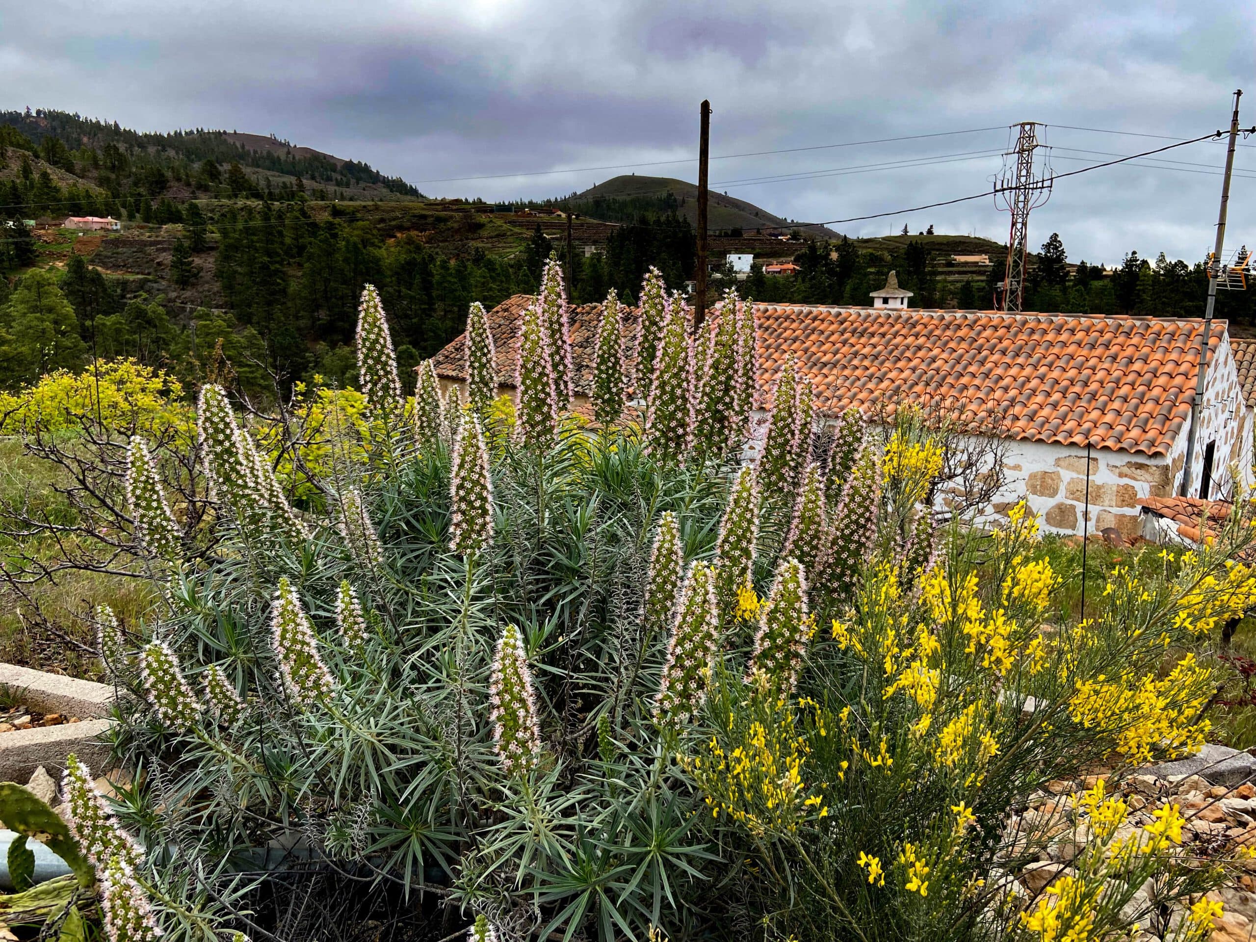
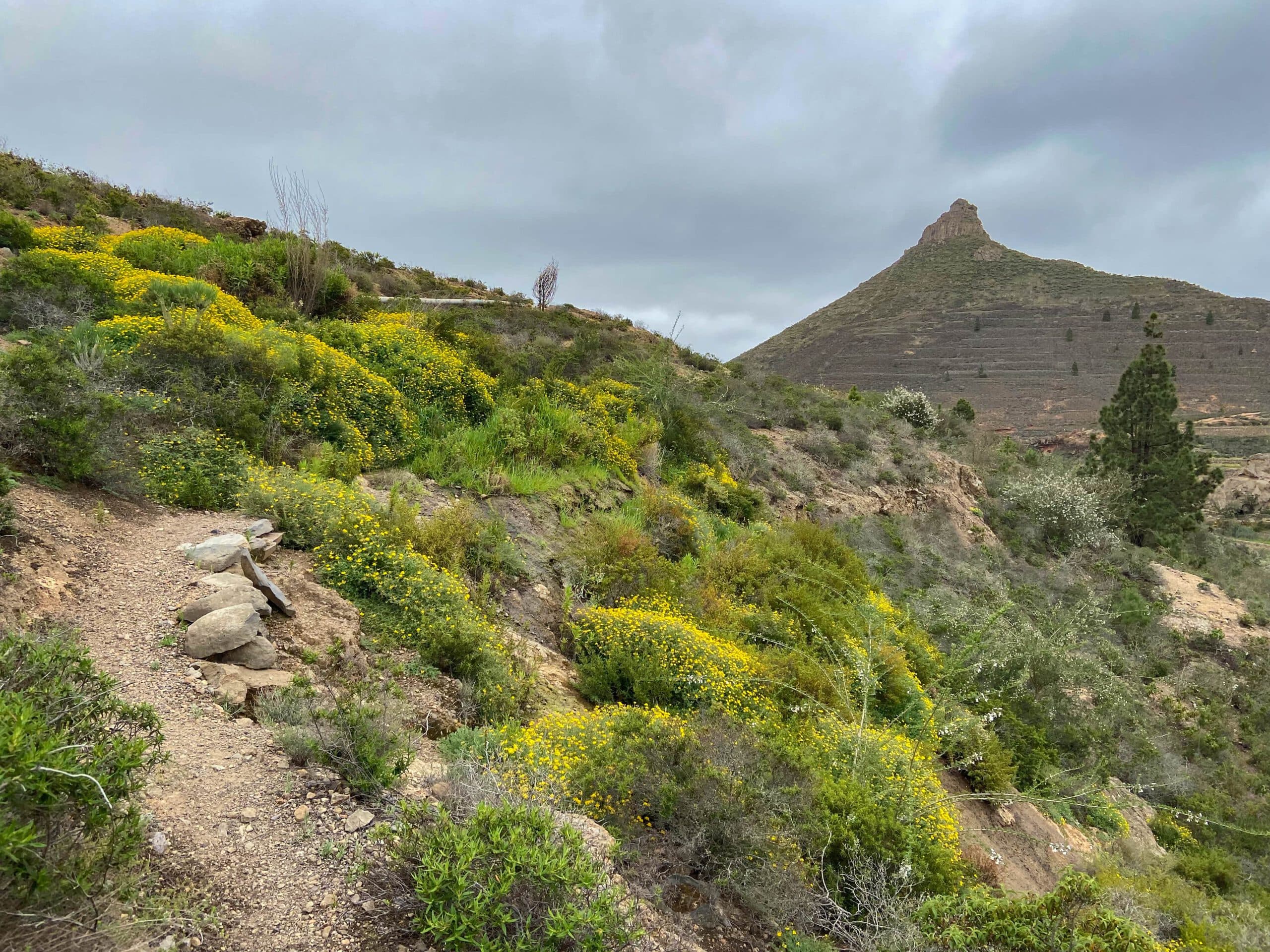
Flowers along the hiking trail near Ifonche
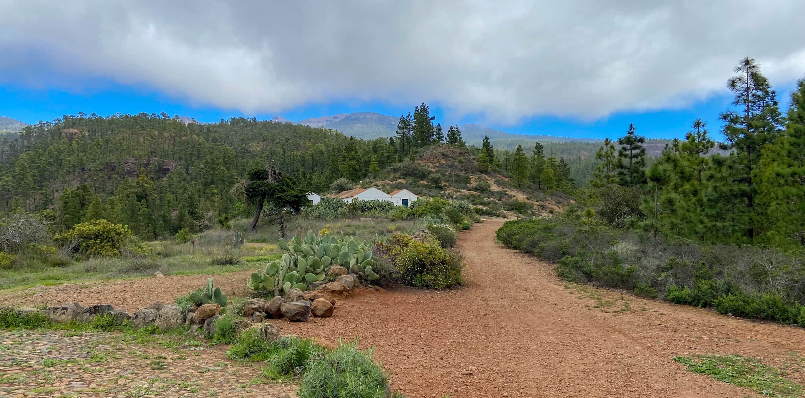
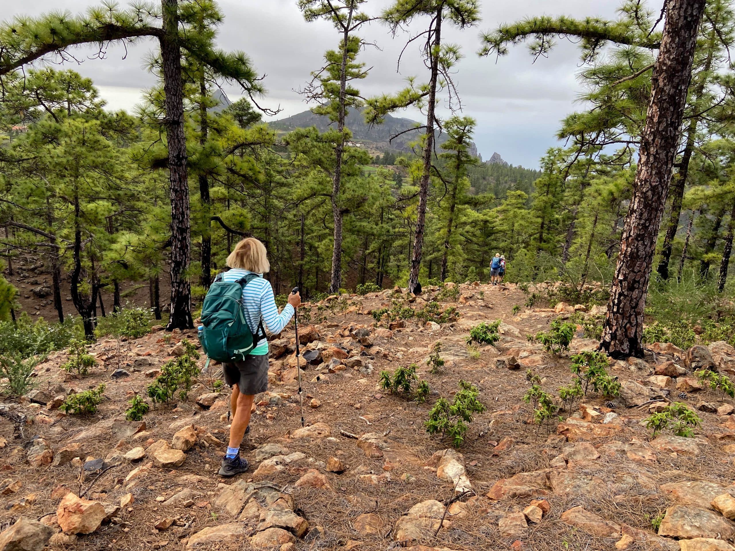
Just follow the road until you reach the small finca on the mountain. The wide road ends at the finca. Behind the finca, a narrow path leads uphill. Follow this path. The path leads you uphill through the forest on a ridge. Follow this path uphill for quite a while. Finally, it changes to the left side of the slope and takes you down into the Barranco del Agua. You cross the Barranco. Afterwards, a path on the opposite side leads uphill again.
Hiking trail through the forest - Roque Imoque and Roque de los Brezos in the background
Barranco del Agua to Mirador de Barranco del Infierno section
Article summary and large selection of GPS hiking tracks
Sign up for my newsletter now and get exclusive access to my collected GPS tracks as well as all the brief information about my articles.
Sign up nowThe path continues uphill through the pine forest. Finally, you will reach a ridge. You can continue to hike up to the right and finally return to Ifonche in a large arc. But on this hike you want to get to the caves, so you hike down the ridge to the left. From the forest you have beautiful views of Ifonche, Roque Imoque and Roque de los Brezos. At the end of the ridge trail, you can keep right or left. Both trails join the main hiking trail from Adeje to Ifonche. 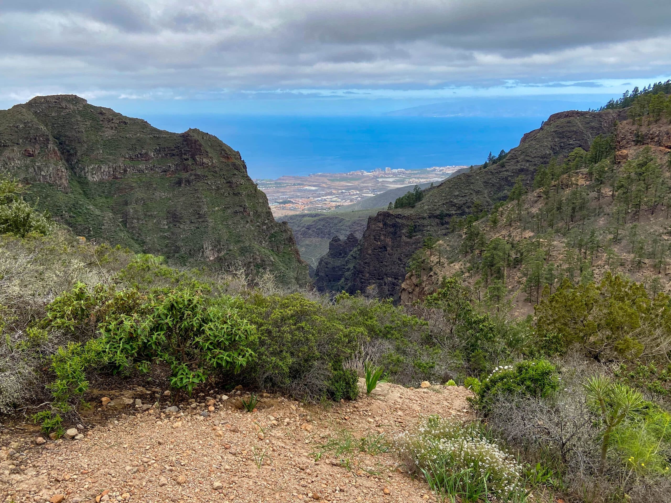
View of the south-west coast of Tenerife and the neighbouring island of La Gomera from the hiking trail
I went left here and enlarged the arc a little. On the main hiking trail, keep to the left in the direction of Ifonche. After a very short time you come to a crossroads. Go straight on to Ifonche. Under Variations you can read how to get here to shorten the trail. However, you do not go straight on here, but turn right onto the wide road. This will take you to the Mirador de Barranco del Infierno in a very short time. 
Plateau with interesting formations - Adeje hiking junction and path to the caves
Section Mirador de Barranco del Infierno to Caves Hiking Trail
As the name suggests, from the Mirador de Barranco del Infierno you can enjoy magnificent views of the Barranco del Infierno. You are now on the hiking trail that leads up from Adeje to Ifonche via steep ridge paths. Follow the narrow path straight ahead. After a short while, the path descends to the right of the ridge. It leads you along the wall of the slope above huge ravines. From here you have magnificent views of the south coast of Tenerife, the neighbouring island of La Gomera and into the gorges below. 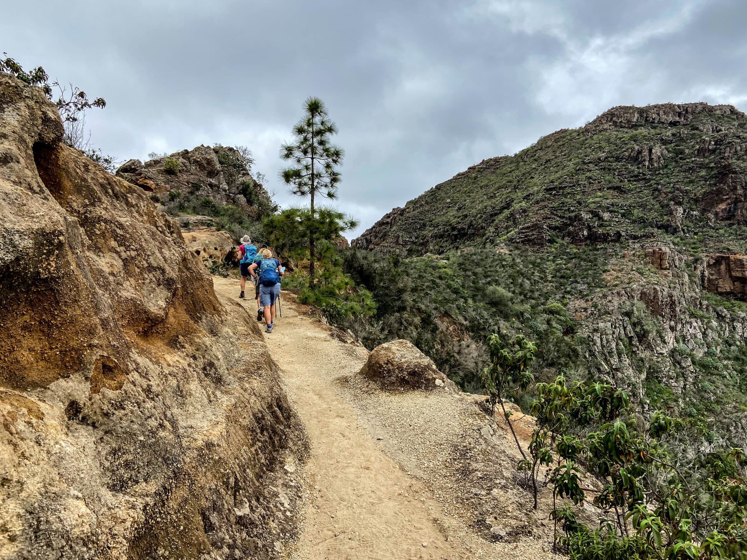
Hiking on white sandstone high above Adeje
Finally, you reach a white sandstone plateau. Here the trail turns right towards Adeje. However, you cross the plateau and continue straight ahead on the narrow path along the side of the slope. This leads you past impressive rock faces. And after a short while you will see the first caves above you on the left. There are several caves to visit. Narrow paths lead up to the individual caves to the left of the main path. 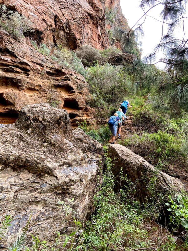
hikers on the trail
Caves section to road towards Roque de Los Brezos
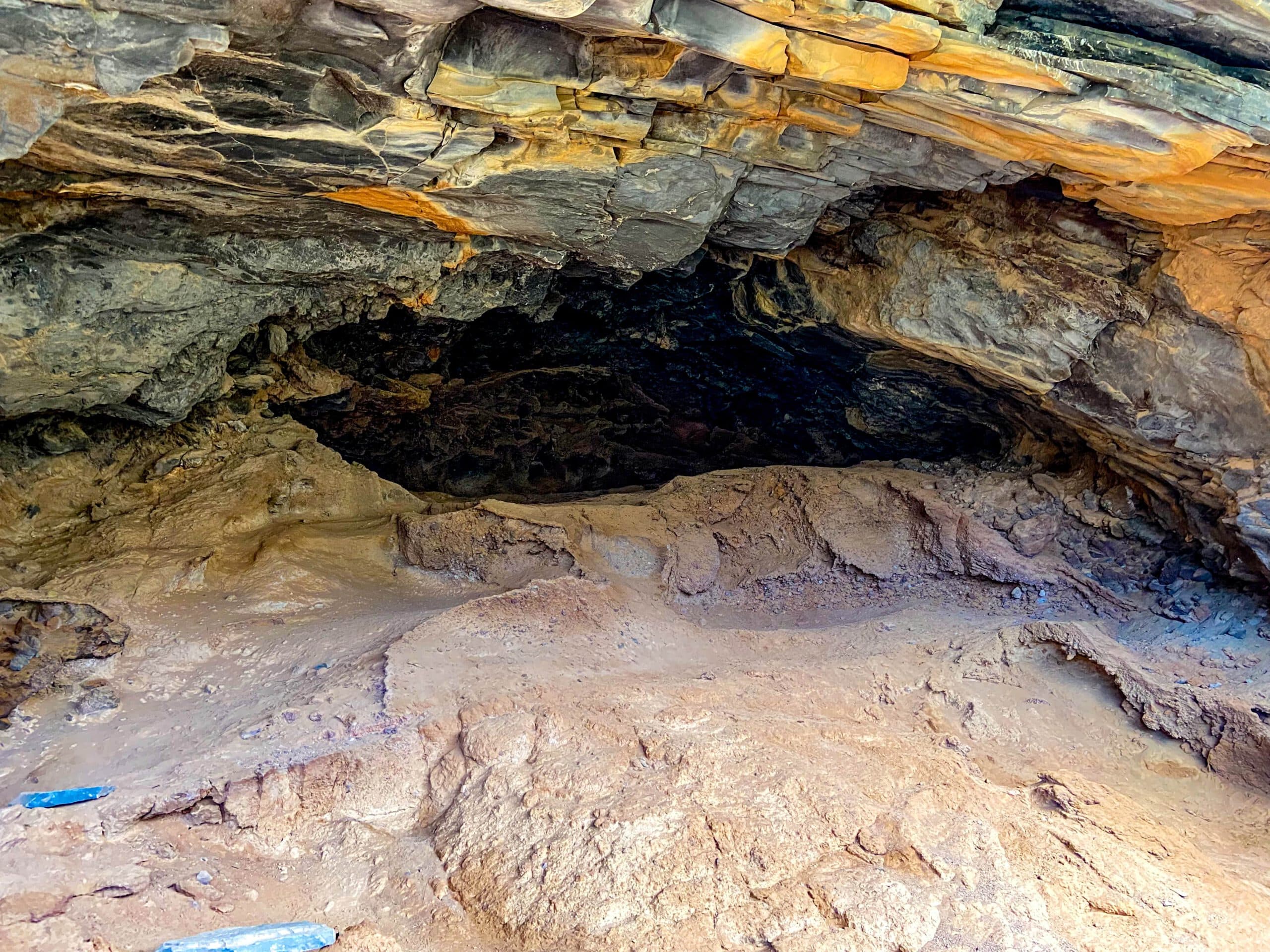
There really is a lot to see on this main section of the hike with its many caves. Besides the fantastic views, you can see and explore many caves. Some are closed with stones and grids. Other caves are open. Some caves have names on them, like Cueva La Burra (Cave of the Donkey). Unfortunately, I don’t know who put the names there. The donkey herself probably didn’t. It can be assumed that they were former cave dwellers.
Caves with good views of the south coast of Tenerife
I don’t need to describe the path any further for this section of the route, because there is only the one path that winds along and around the slope. Only the access paths to the individual caves lead off from this path. Take your time to look at some of the caves. You will go up and down the entire path in an easy manner. At the end of the path you will go uphill a little. You will come to a small ridge that will take you around to the left to a small road that ends below Roque de los Brezos.
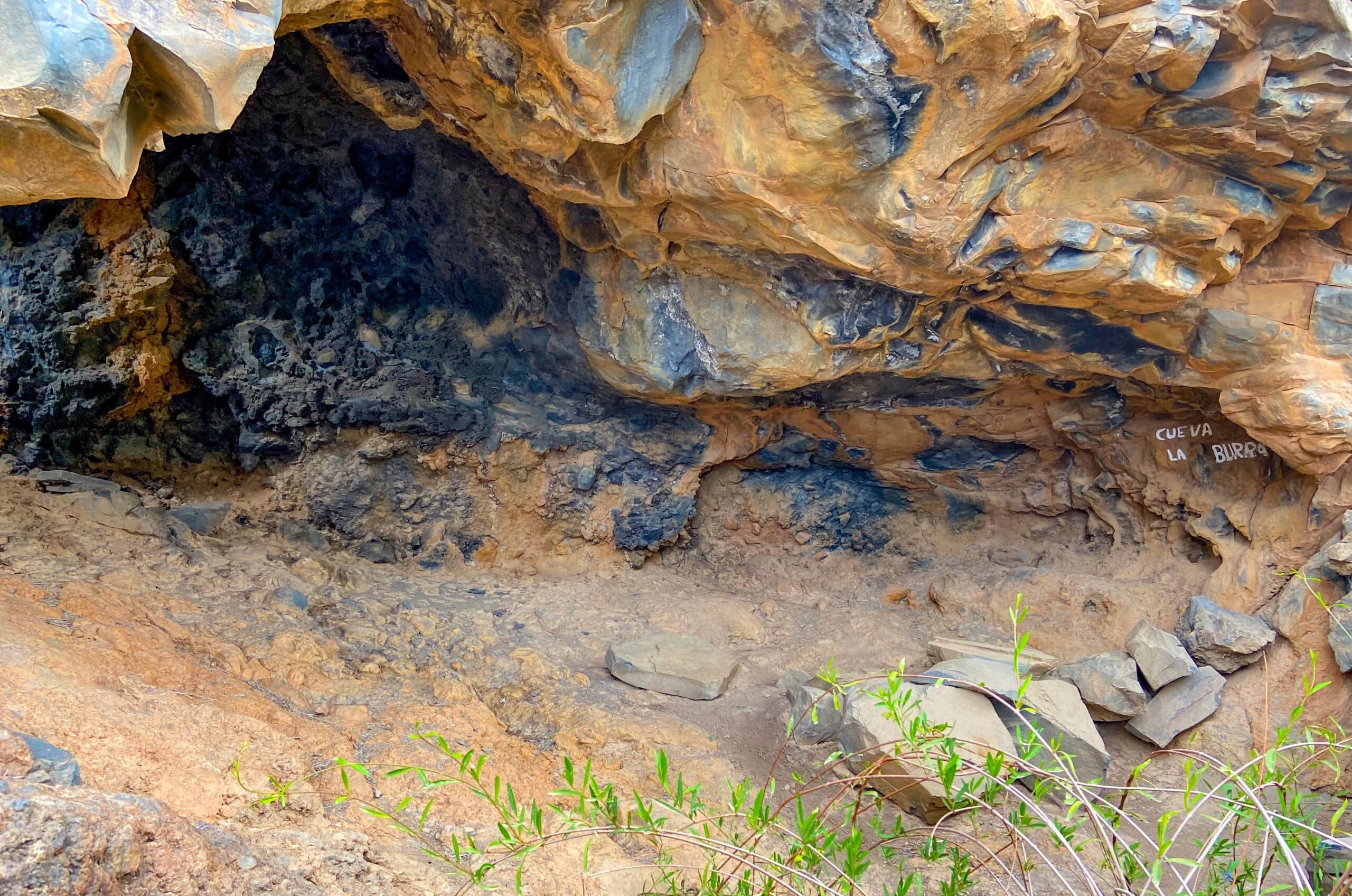
Small cave below a rock face - Cueva La Burra
Route section Roque de los Brezos road to starting point El Dornajo restaurant
If you go around the road to the left, you will quickly be back at the starting point. If you want to see a little more, follow the road around to the right. It passes a paragliding drop-off point and ends at a large farm building below Roque de los Brezos. Continue to the right along the trail and you will arrive at the large threshing floor on the saddle between Roque Imoque and Roque de los Brezos. From there, take the trail in front of Roque Imoque down into the Barranco del Rey. 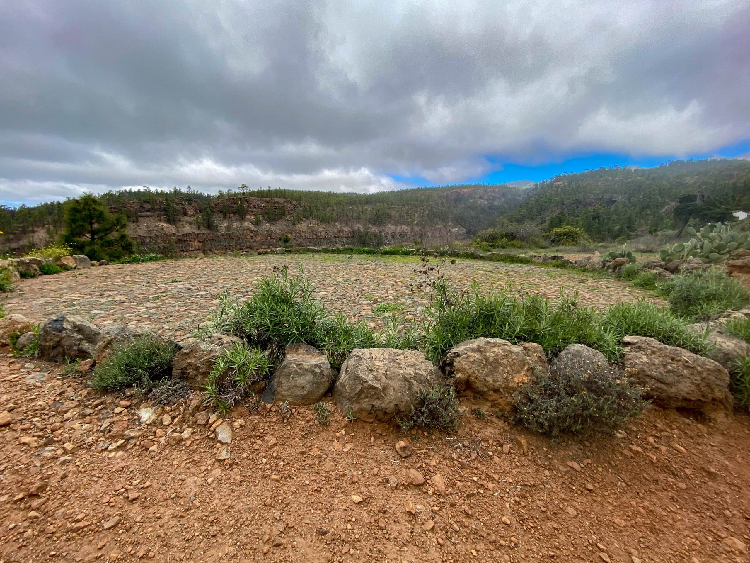
Threshing place by the wayside
You cross the Barranco Grund and then walk a little up the slope, but not quite up to the road. Stay on a very narrow path above and parallel to the Barranco Grund. Follow this path for quite a while to the left up the gorge. Finally, the path crosses the barranco again to the left. There you hike up onto a wide ridge. From there, the trail leads you high above the Barranco del Rey on the left side towards Ifonche again. Shortly before the restaurant El Dornajo, the starting point of your hike, you will meet the road that brought you towards Roque de los Brezos. Now it is only a few metres around to the right to the starting point of your hike.
Hiking trail at Barranco del Rey and view back to Roque Imoque
And finally
I hope you enjoyed this hike to the caves below Ifonche. You can combine your individual hike – as described above – in many ways. And who knows what you will find in the caves. I wish you much joy on all your paths,
Dagmar from Siebeninseln