
Table of contents
What Did the Guanches Leave Behind?
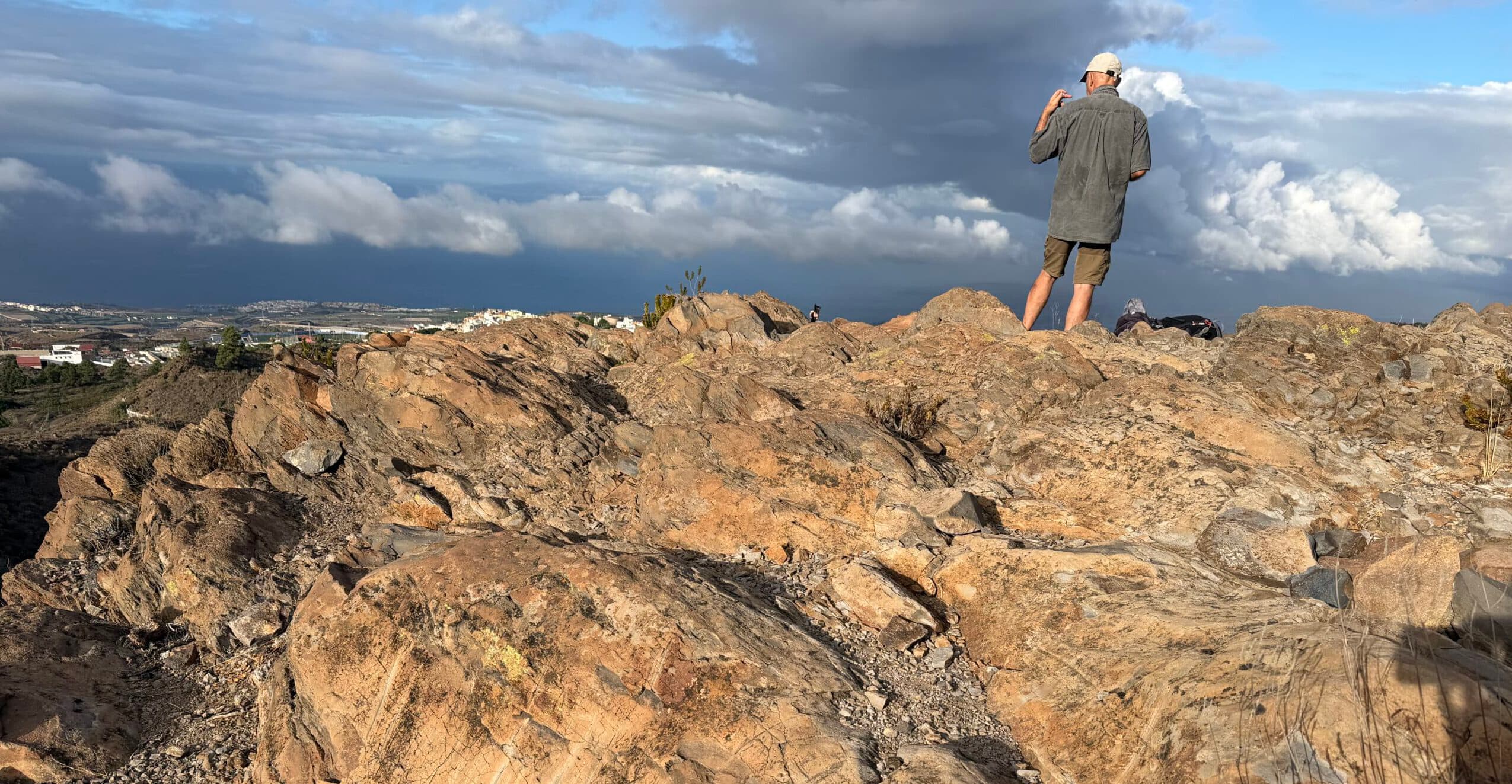
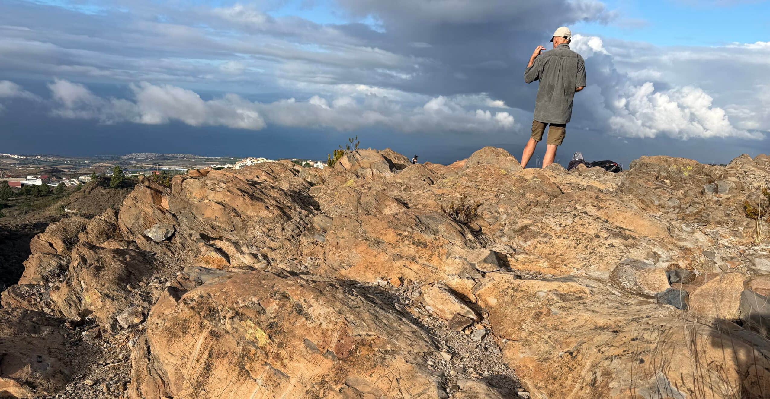
The Guanches, the indigenous people of Tenerife, left numerous traces of their culture on the island. Particularly fascinating are the rock engravings discovered at various locations across Tenerife. On this walk in the area between Guía de Isora and Chirche, you will also come across rocks bearing prehistoric markings. They are located very close to the walking trail and offer a small glimpse into the island’s past.
Map
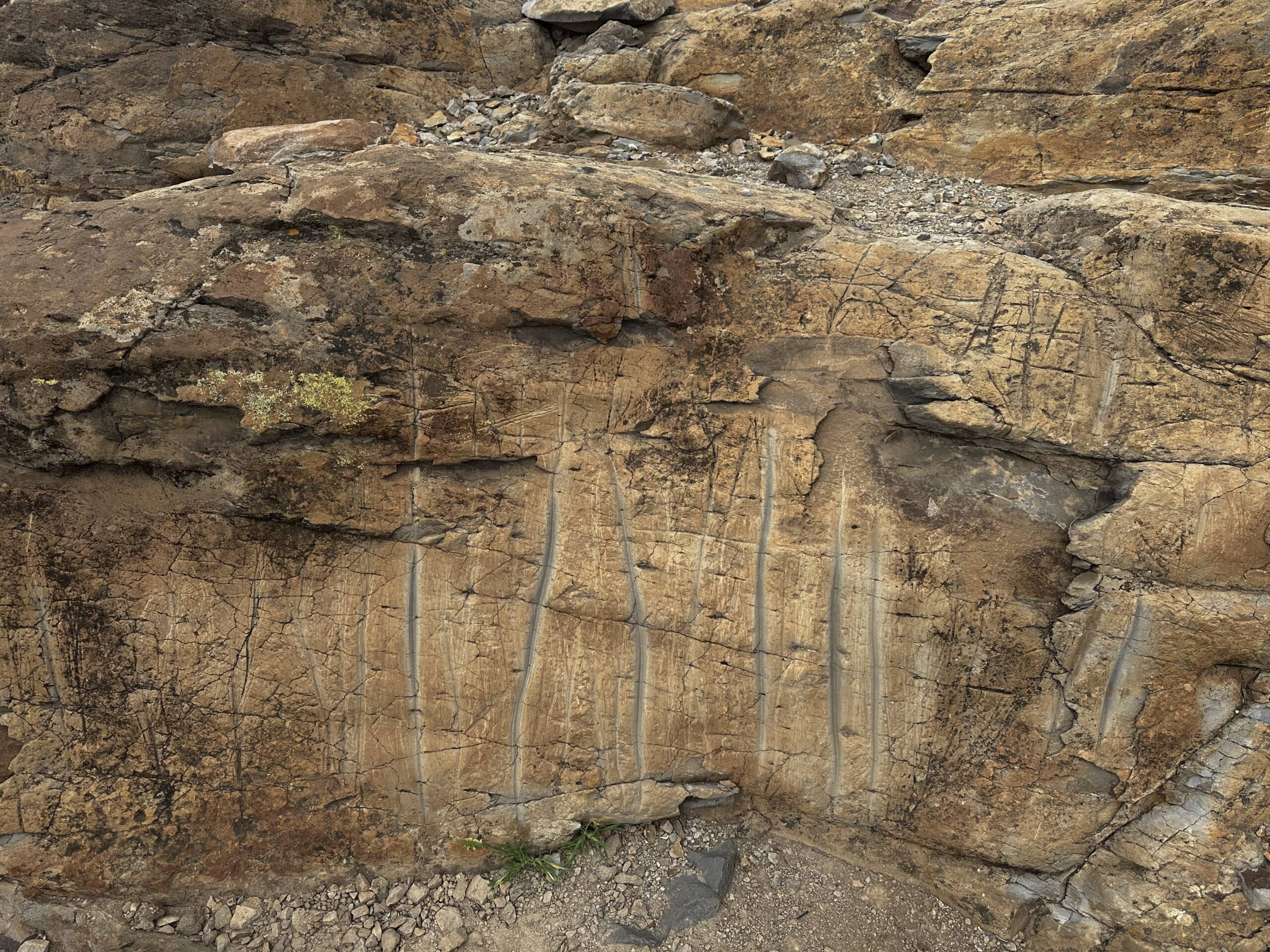
Guanches Rock – prehistoric markings
Further along the route, you will also pass old ovens and wells – remnants of times long gone. This makes the walk more than just a journey through the beautiful mountain landscape. It also follows in the footsteps of the people who inhabited Tenerife long before the Spanish conquest.
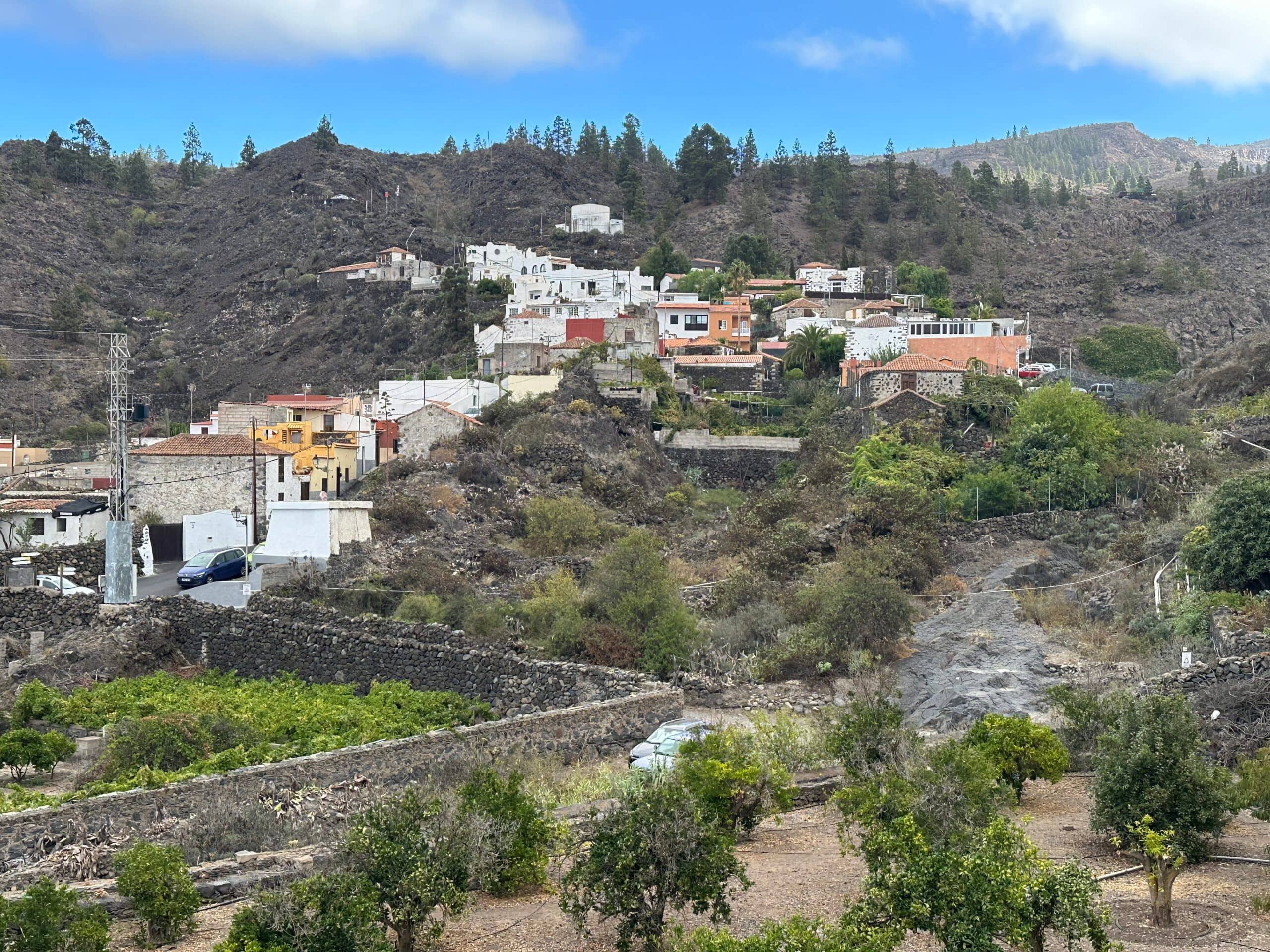
Chirche as seen from the footpath
Circular Walk from Guía de Isora via Chirche and Chiguergue
This varied circular walk takes you from Guía de Isora through the historic mountain villages of Chirche and Chiguergue and back to the starting point. Over a distance of around eight kilometres, you will experience the unspoilt landscape of southern Tenerife. You will walk through traditional settlements and enjoy lovely views of the surrounding mountains and the coast, stretching as far as the neighbouring island of La Gomera.
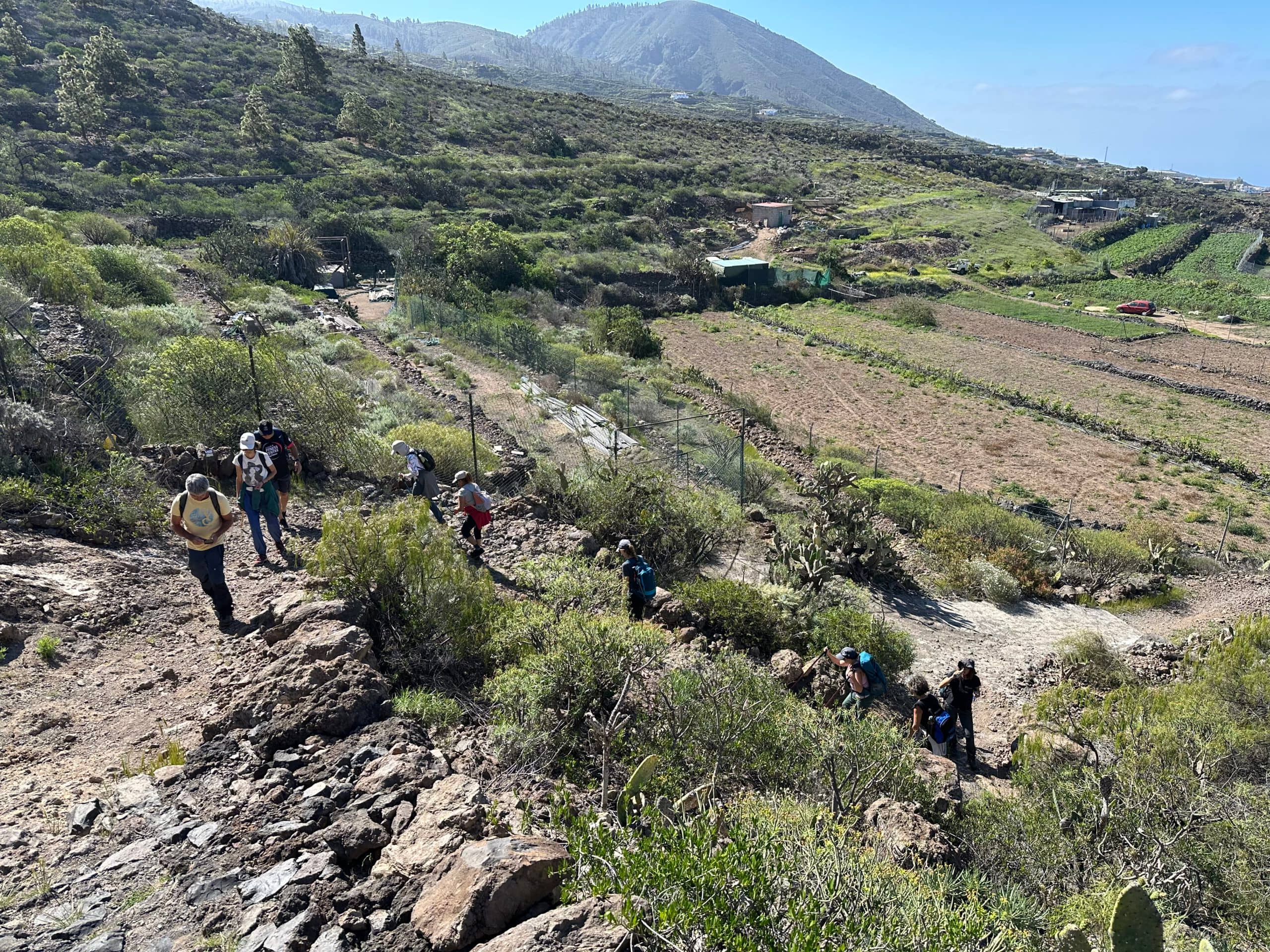
Hikers on the footpath leading up to the canal above Gúia de Isora, heading towards the Guanches’ Rock
Along the way, you will encounter not only the remains of rural life from bygone times and evidence of the much older history of the Guanches, but also have the opportunity to experience rural life today at close quarters. Your route takes you past vineyards and potato fields and through quiet, almost deserted lanes lined with old and newer buildings. This is not an overly demanding walk, but one that is all the more enjoyable, following the trail of Canarian history and traditional island life.
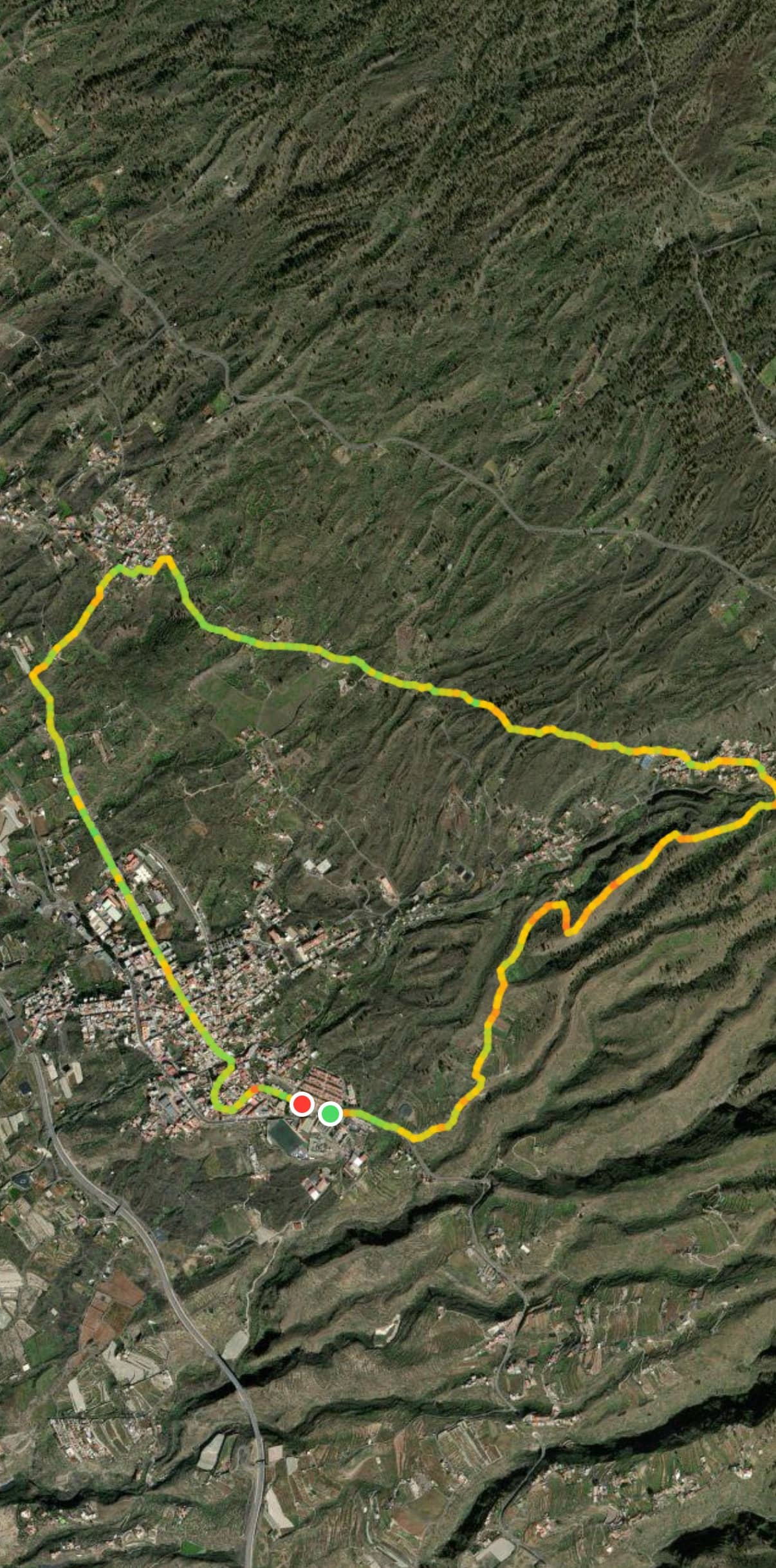
Route of the walk: Gúia de Isora – Guanche Rock – Chirche – Chiguergue
General Information about the Guanches Circular Walk from Guía de Isora
Starting Point and Directions
The walk starts at the edge of Guía de Isora, on the TF-82, before the cemetery.
Getting There by Car
You can reach the village from either direction via the TF-1 and the Guía de Isora exit. Drive through the village to its outskirts, where you can park. There are parking spaces in a small square and along the roadside.
Getting There by Bus
Titsa bus routes 417, 460, 462, 490, 492, 493 and 494 stop in Guía de Isora. For detailed information about the current routes and timetables, visit the Titsa website.
Duration
I prefer not to give general timings for walking routes, as the time required varies considerably from person to person. We took 2.5 hours to complete this leisurely circular walk, including short breaks.
Article summary and large selection of GPS hiking tracks
Sign up for my newsletter now and get exclusive access to my collected GPS tracks as well as all the brief information about my articles.
Sign up now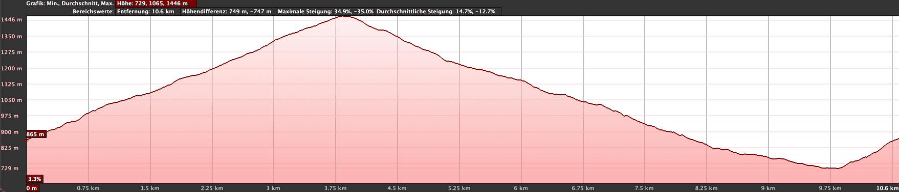
Elevation profile for the Gúia de Isora – Guanches’ Rock – Chirche – Chiguergue walk
Elevation Difference and Distance
The elevation difference is approximately 360 metres, and the route is just over eight kilometres long.
Difficulty
The entire circular route follows good walking or farm tracks. Only the descent from Chiguergue is somewhat steep at the beginning and rough underfoot in a few places.
Places to Stop for Refreshments
There are places to stop for refreshments in Guía de Isora and Chiguergue. Nevertheless, make sure you take plenty of water with you.
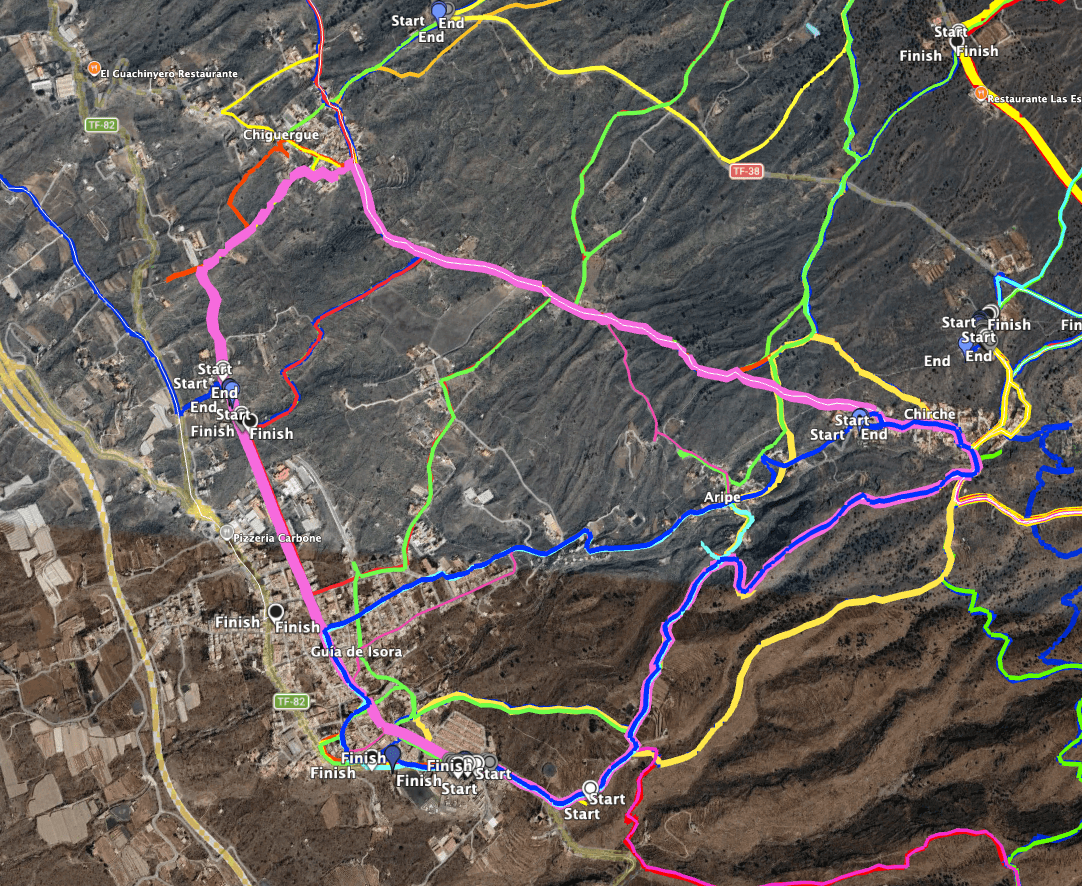
Route of the Gúia de Isora – Guanche Rocks – Chirche – Chiguergue walk (pink) and many nearby alternatives
Variants
As you can easily see from my colourful track map, the walk can be varied in many ways, using different paths to shorten or lengthen the route. There are so many possibilities in this popular walking area that I cannot describe them all here. However, the paths are well signposted, and you will certainly find the route that suits you best.
On SiebenInseln, you will also find the following walks nearby:
- 1.0
- 2.0
- 3.0
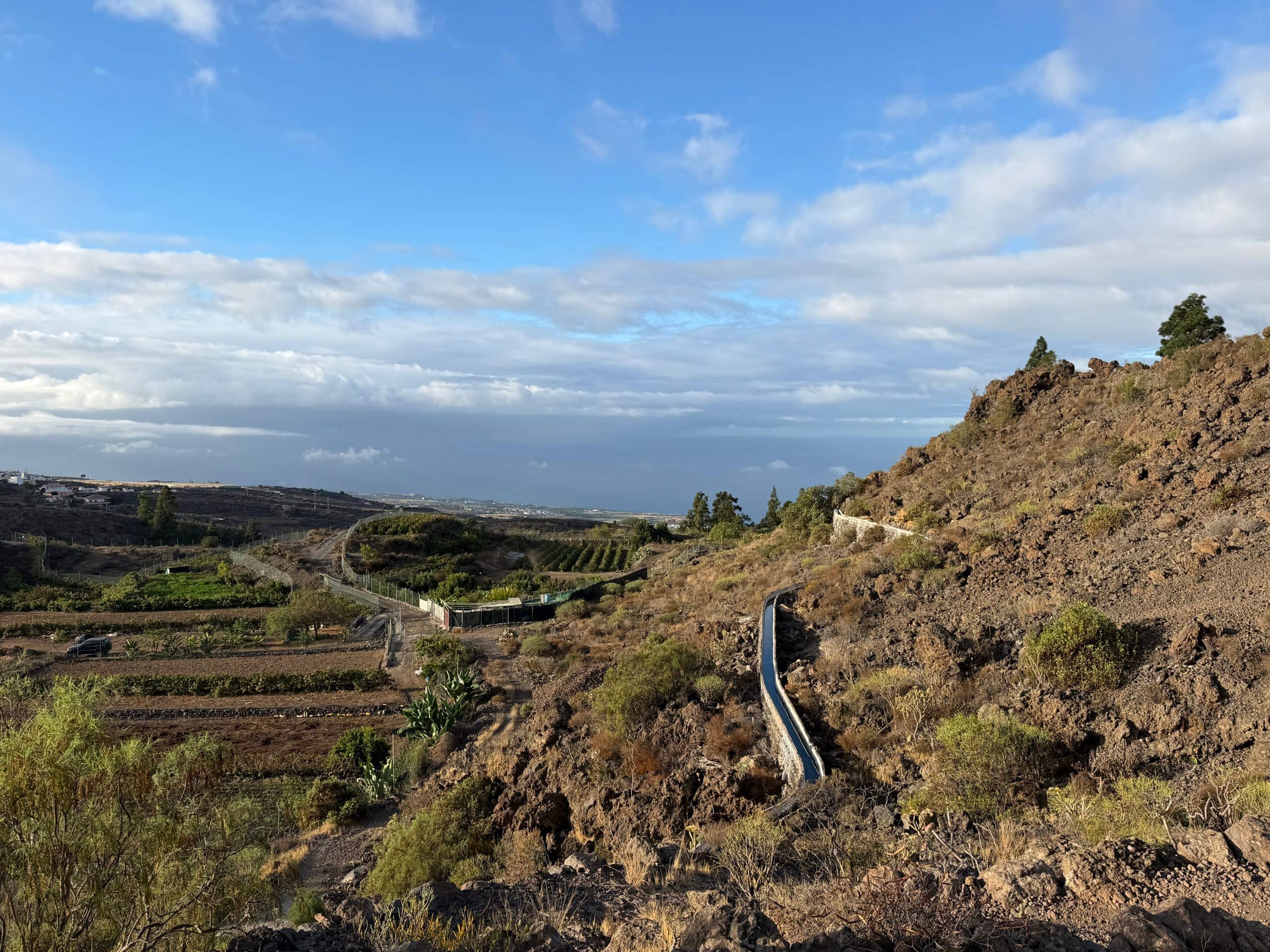
Landscape above Gúia de Isora with fields, gardens and one of the last remaining open water channels
Circular Walk from Guía de Isora via Chirche and Chiguergue – Following in the Footsteps of the Guanches
Route Section: Guía de Isora to the Guanches’ Rocks
You start your circular walk at the edge of Guía, heading towards Tejina. For a short distance, you follow the TF-82. At the first gentle right-hand bend in the TF-82, a wide track branches off to the left. Follow this track uphill. The track is called Calle de Barranco. At a junction, walking trails branch off to the right towards El Jaral. From one of these, an alternative path branches off towards Chirche, running through the next barranco parallel to the original path and also leading to Chirche. Shortly afterwards, a walking trail branches off to the left, leading back to Guía de Isora. However, if you want to see the Guanches’ rocks, continue straight ahead on the now signposted PR-TF-70 walking trail towards Chirche.
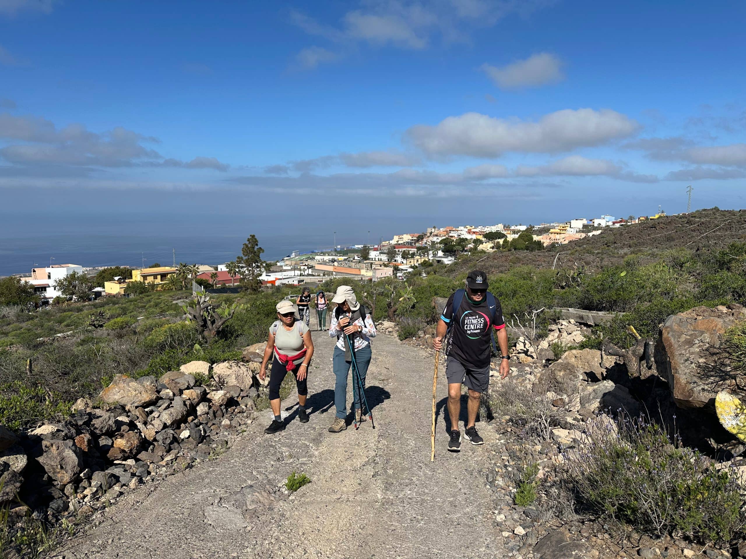
Hikers on the footpath above Gúia de Isora
You pass fields and a few small farmsteads. The walking trail climbs and takes you up several hairpin bends, above an open water channel. You continue climbing and can enjoy the beautiful landscape, as well as your first views back towards the coast and La Gomera. Further up, the path turns to the right. If you cross the channel and continue straight ahead, you can also make a detour to the small village of Aripe. Continue uphill along the walking trail, passing a large house. After another climb, you approach the Guanches’ rocks.
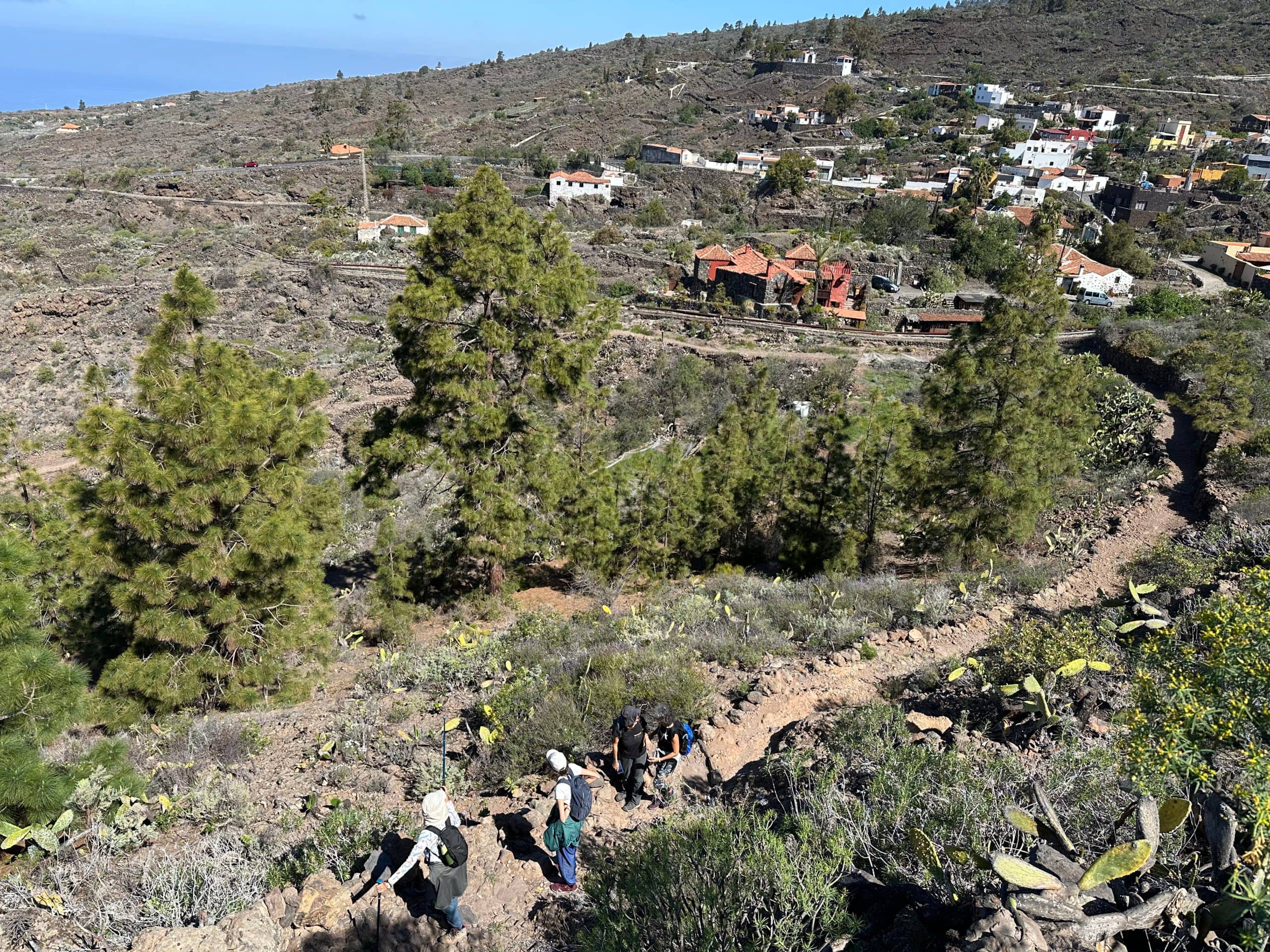
View of the footpath with Aripe in the background
Route Section: The Guanches’ Rocks to Chirche
On your left, you will find old walls and an old threshing floor. From up there, you can enjoy wonderful views of the entire surrounding area. This area is also known as the Zona Arqueológica de Aripe. Slightly to the right of the walking trail, down towards the barranco, where the Guanches probably had caves a long time ago, you will find long grooves cut into the rocks, which are said to have been made by the Guanches. Once you have explored this fascinating area thoroughly, continue uphill along the walking trail.
Article summary and large selection of GPS hiking tracks
Sign up for my newsletter now and get exclusive access to my collected GPS tracks as well as all the brief information about my articles.
Sign up now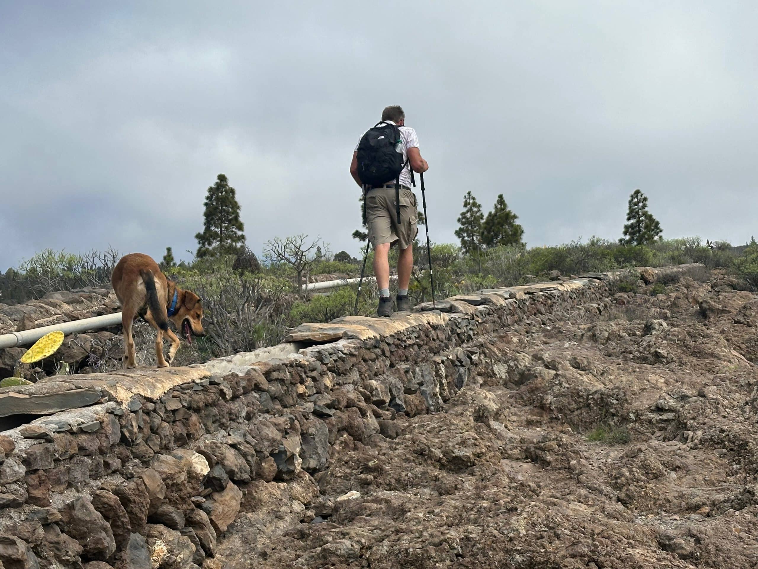
Hiker on the canal beside the footpath above the Guanche Rocks
The path now follows the ridge alongside an old channel. On the right-hand side of the path, you will find old wells and an oven. Eventually, the path turns to the right-hand side of the ridge above the ravine. It climbs past gardens and fields towards Chirche. Once above Chirche, you could continue climbing towards the Cañadas. However, on this shorter circular walk, turn left and descend along the walking trail, crossing the Barranco del Cazador as you enter Chirche.
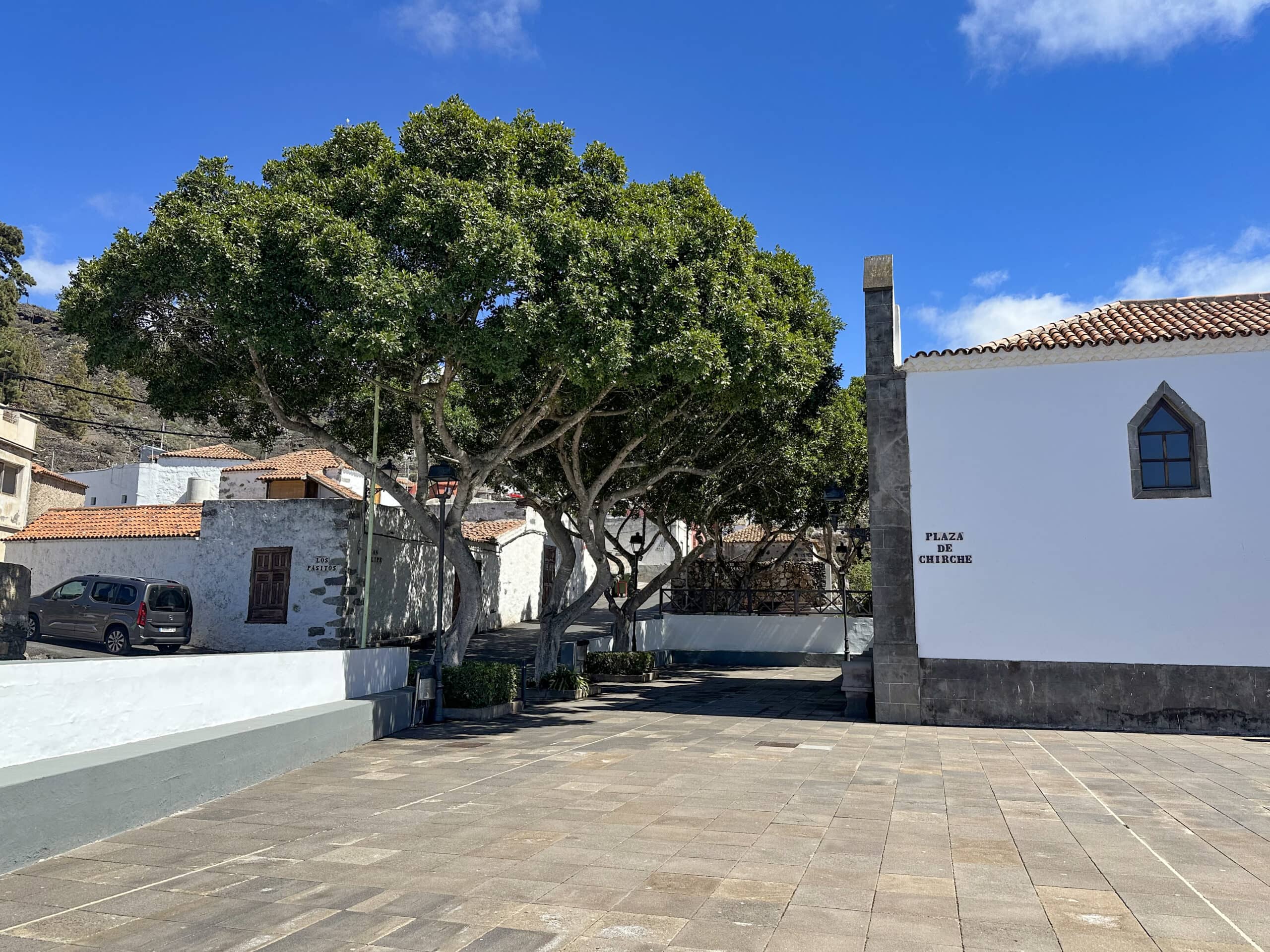
Church square in Chirche
Route Section: Chirche to Calle San Pedro
Chirche is a beautiful little traditional Canarian village with a church and a church square, an ideal place to rest and take a break. Every year in July, a traditional festival is held here, during which almost the entire village opens its doors to visitors and traditional Canarian customs are demonstrated. However, this charming village is well worth visiting even when the festival is not taking place. On your circular walk, you reach Calle San Felipe, which you follow downhill to the left. This gives you the chance to see some lovely houses and the church.
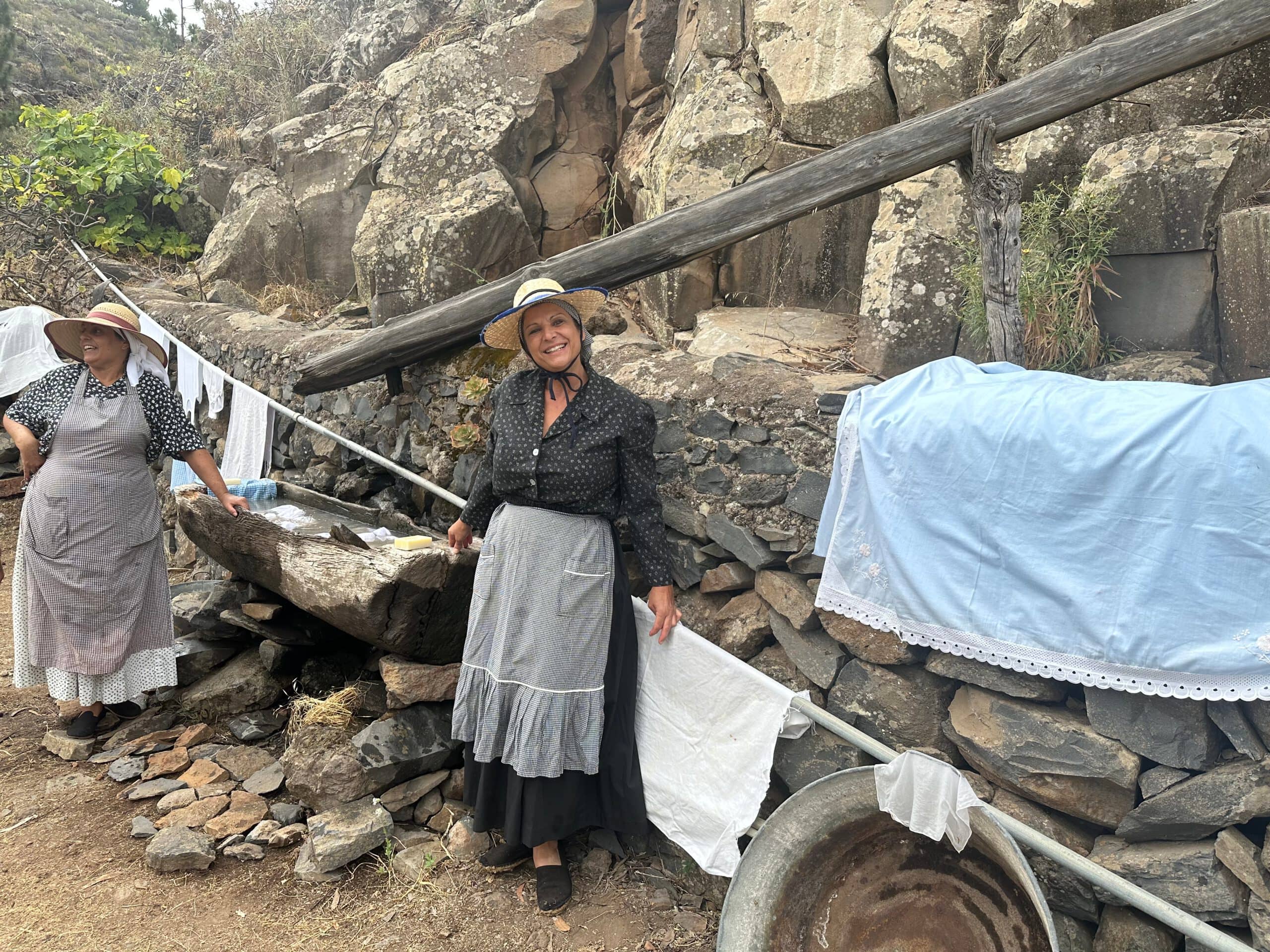
Traditional festival in Chirche
After the church square, continue straight ahead and later turn into Calle el Cornical. The walking trail is marked in white and yellow. Follow this road to its end. It gradually climbs and becomes a walking trail at the edge of the village. You now follow stony lava paths for a while, gently rising and falling, with views of the coast. Several paths branch off to the right and left, but keep going straight ahead. Eventually, the walking trail joins Calle San Pedro, which you follow to the right.
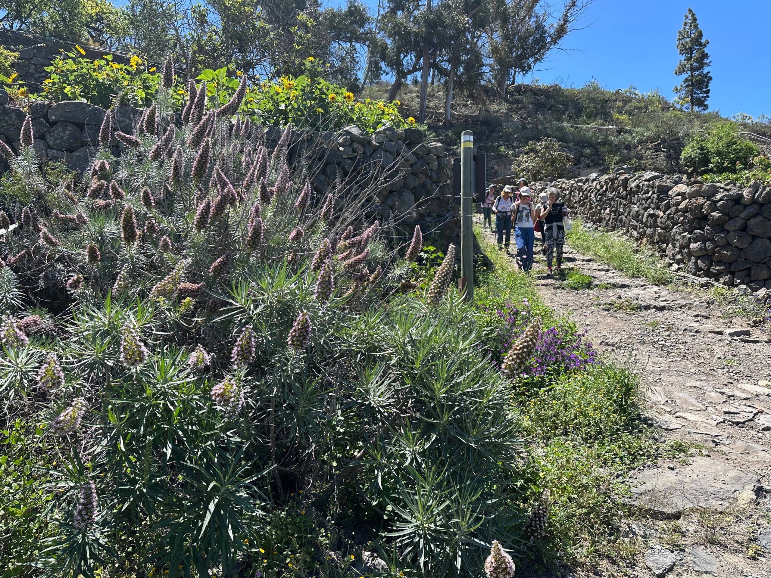
Hikers on the path towards Chiguergue
Route Section: Calle San Pedro to the Turning towards Guía de Isora
Now continue straight along Calle San Pedro for quite some time. On your left, you have lovely views of the coast, while attractive properties, large fields and gardens lie alongside the path. There is plenty to see. Eventually, you arrive in Chiguergue. Turn left into Calle San Roque. From here, you have several options. If you would like to explore the village, you can continue along Calle San Roque to the church square and enjoy the view from there. Alternatively, you can turn left straight away into Calle El Meronal.
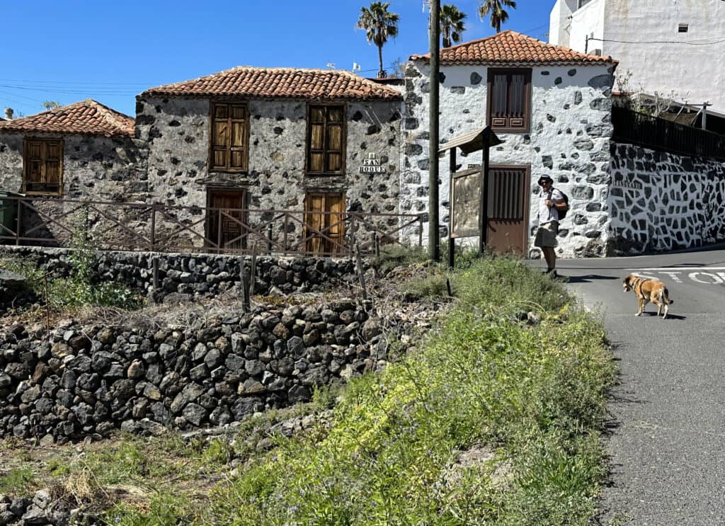
Footpath through Chiguergue
A path leading downhill towards Guía de Isora starts in front of the church. It is quite steep and overgrown. The downhill path from Calle El Meronal is easier to walk. However, the two paths eventually join up again, as the path in front of the church also turns left and meets the path below Calle El Meronal. You then descend for a while towards the TF-82 along this somewhat stony path. Be careful not to miss the turning to the left towards Guía, which is not signposted. It is rather inconspicuous and initially leads steeply downhill past an old water reservoir.
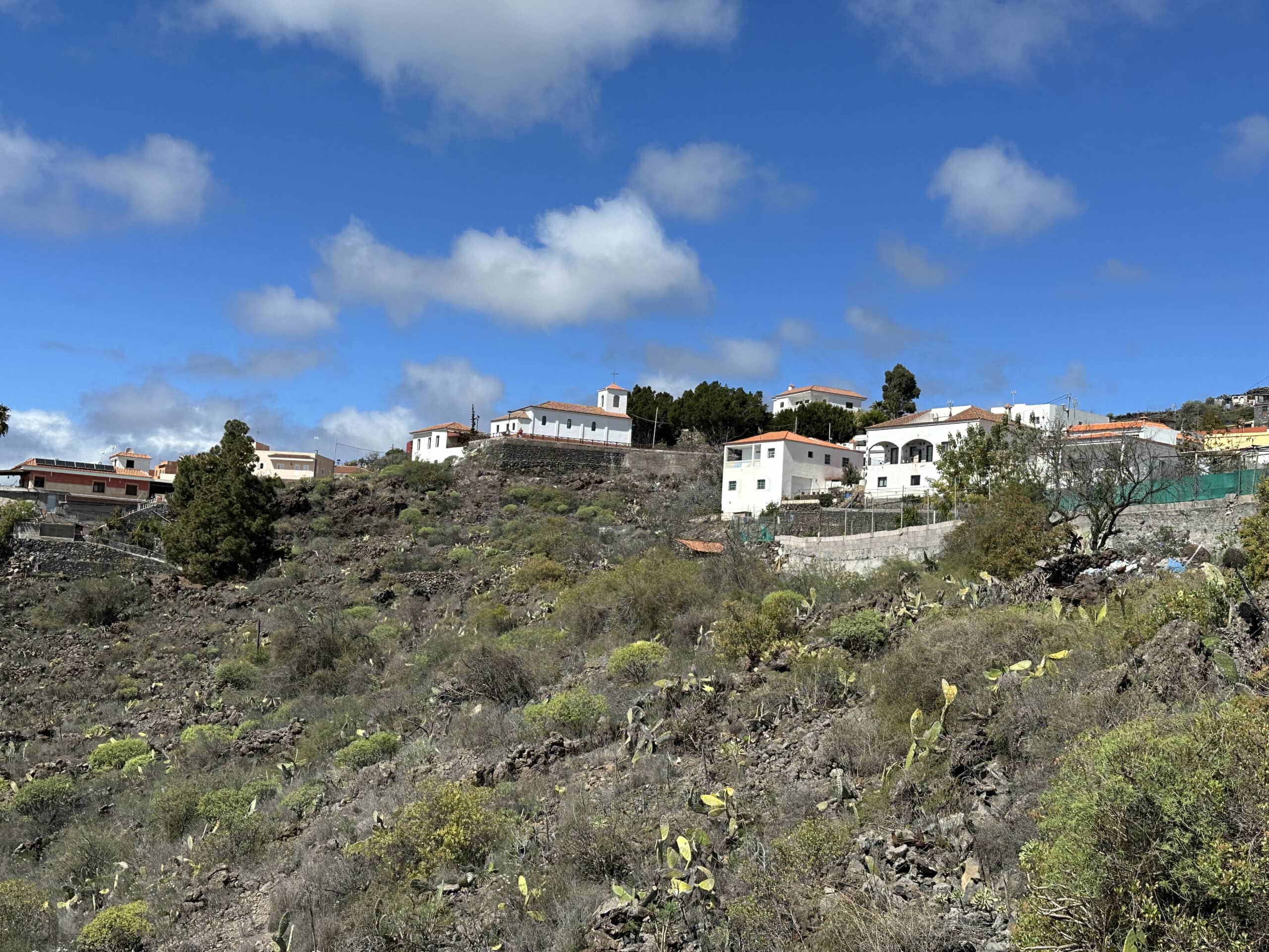
Chiguergue as seen from the footpath towards Guía de Isora, with the church and viewpoint in the background
Route Section: From the Turning towards Guía de Isora to the Starting Point
The path is steep at first, but levels out after a short distance and takes you through a hollow. It climbs again on the other side and soon brings you to the end of the path. There, you reach Avenida de la Constitución, which you follow to the right. At first, it is an unpaved track. After a short distance, it becomes a paved road lined with palm trees. Continue straight ahead along this road.
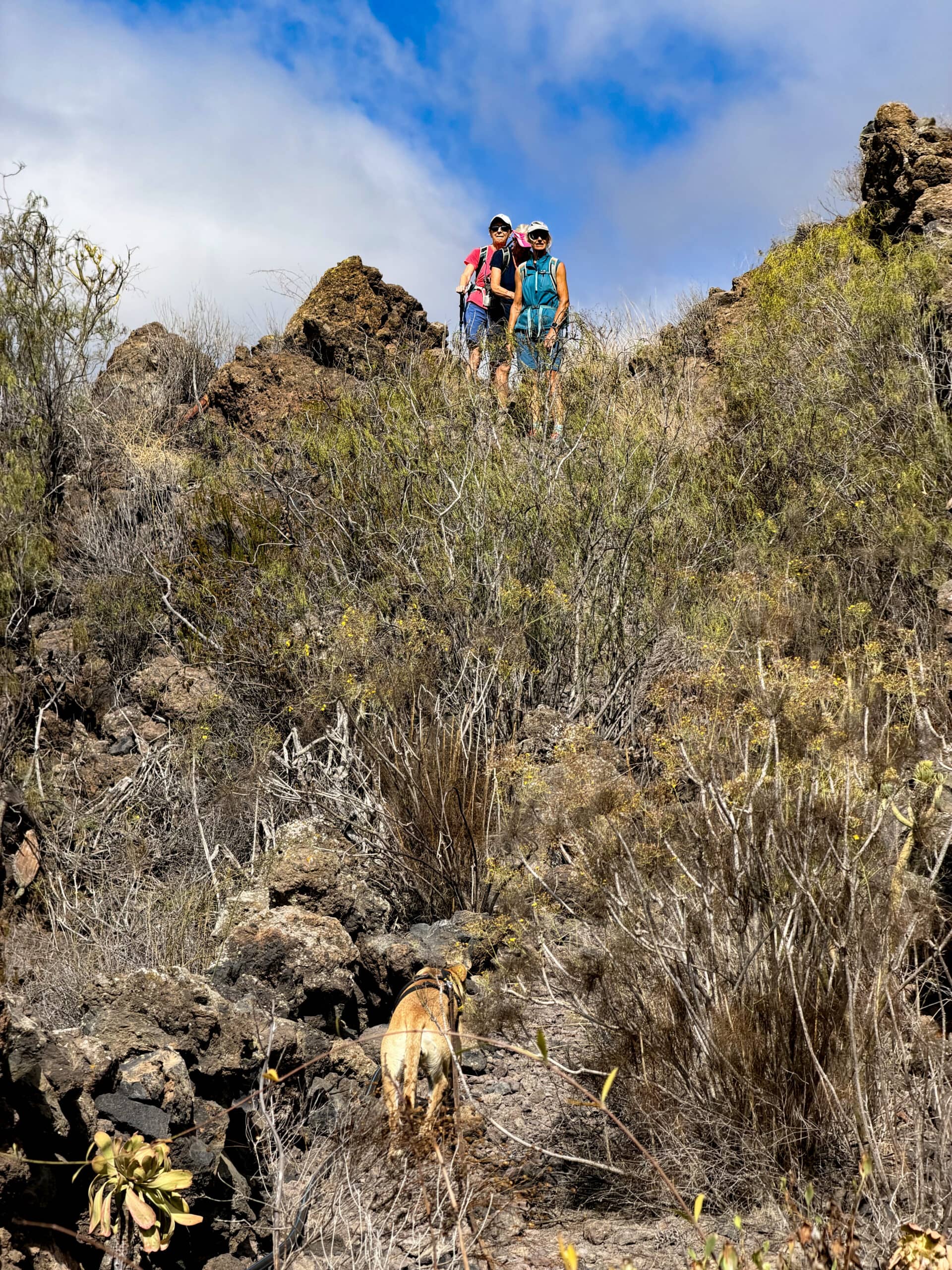
Female hikers on the hiking trail behind Chiguergue towards Gúia de Isora
You first reach Guía de Isora and then enter the old town centre. The road continues, although its name changes first to Calle del Campo and then to Calle de Arriba. If you do not know the village, you can take your time exploring it or stop for a drink at a pleasant bar in the church square or in the attractive pedestrian area. After the church square, continue straight along Calle La Vera for quite some distance, followed by Calle Guarpia. This eventually brings you back to the starting point.
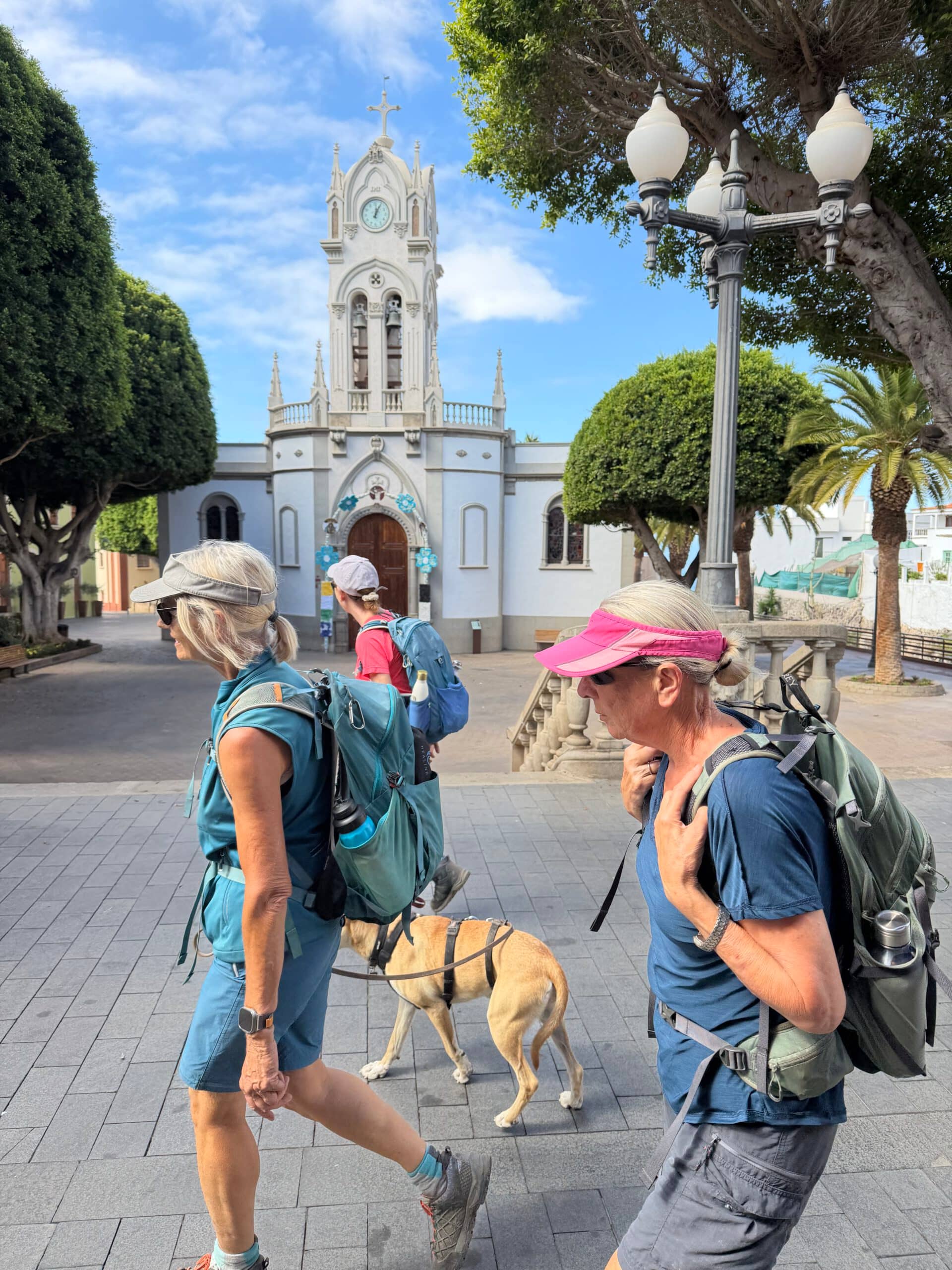
And back in Guía de Isora – walking through the old town
And Finally
I hope you have enjoyed this leisurely walk from Guía de Isora via the Guanches’ rocks and through the other villages. This walk offers plenty of options for varying the route, as well as opportunities to visit the villages along the way. You can therefore tailor it entirely to your own needs and preferences. Whatever you decide, I wish you lots of enjoyment on all your walks.
Dagmar from SiebenInseln
Thank you for reading!
If you've found my hiking guides on SiebenInseln helpful for your Canary Islands adventures, please consider leaving a small tip. Your support is greatly appreciated and helps cover the costs of maintaining this blog.
Thank you for your support!
SSL secured
Comments
There are no comments for this post yet.
Post the first comment