At the moment the hike is not possible due to the motorway construction (as of November 2023).
Circular walk around Ruigómez, El Tanque and La Tierra del Trigo
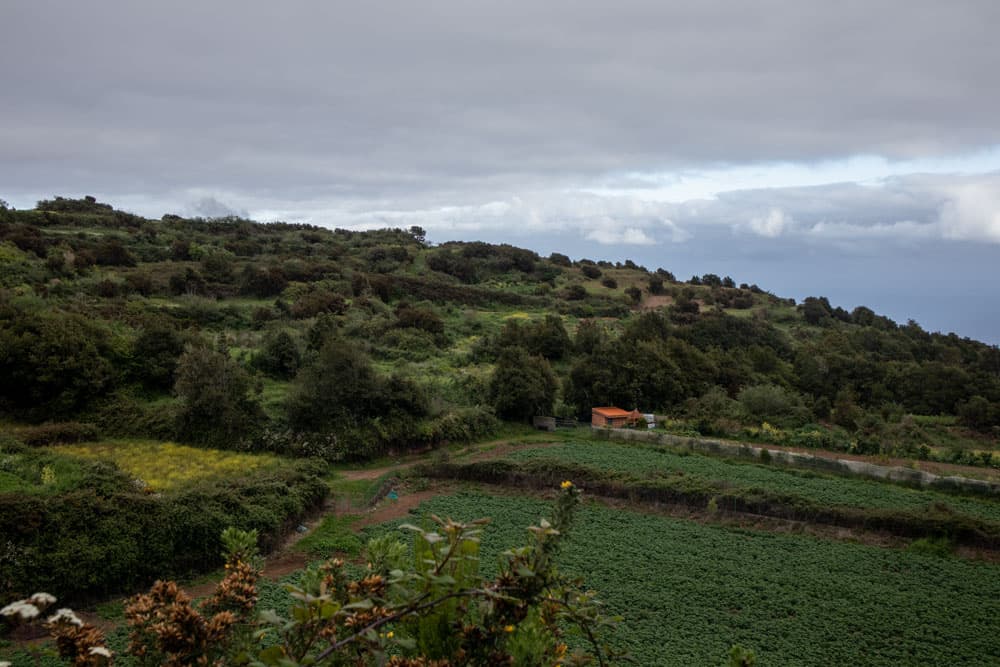
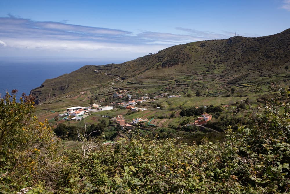
On this great circular hike, which starts in Ruigómez, you will first walk past fields and green meadows. You will see country houses, small villages and highlands cultivated with potatoes and wine. You will then descend to El Tanque, the capital of the municipality, along roads and small side roads.
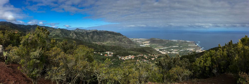
Ridgeway with a view of the mountain ranges of the Teno Mountains
Map
From there you climb the ridge Lomo Lisa on narrow paths. On this small ridge way you have wonderful views on both sides down to the coast. When you have descended the ridge again at the end of the ridge, you continue down the slope to Tierra del Trigo.
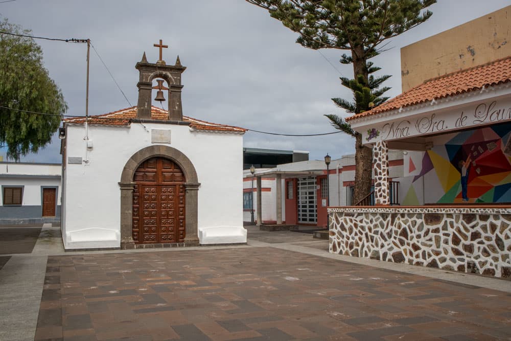
church and square in La Tierra del Trigo
The small hamlet of Tierra del Trigo is picturesque with its colourful houses and terraced gardens and fields. Although there is only little wheat left here today, there are all the more vines to admire. In the village, it is worth taking a rest at the church square or in a bar. Then on the way back you have to climb steeply up to Ruigómez.
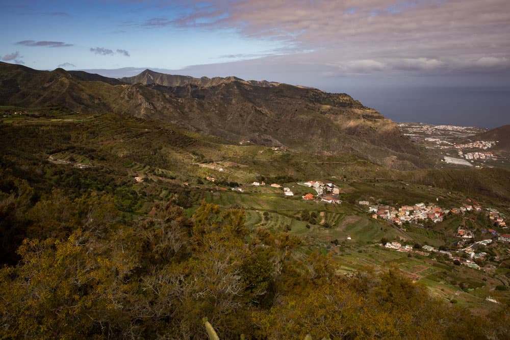
View from the ridgeway to the Atlantic and the north coast of Tenerife
Ruigómez – a municipality of El Tanque
The small town of Ruigómez, which belongs to the municipality of El Tanque, has less than 500 inhabitants. El Tanque has only 1600 inhabitants with its communities, which include Ruigómez, San José de Llanos and Erjos. Most of them live almost exclusively from agriculture. Therefore, on this hike around Ruigómez and the capital El Tanque, you will also discover extensive fields full of potato and vegetable plants as well as vineyards. Ruigómez lies at an average altitude of 900 metres and the municipality of El Tanque itself at an altitude of 600 metres.
The village Las Juncias on the way Ruigómez
Since the beginning of the 17th century the first farmers settled in the area around El Tanque. Before that there was only a hermitage and later a chapel. The area was also affected by volcanic eruptions at the beginning of the 18th and 20th centuries. The eruption around 1706, which severely destroyed the port city of Garachico, led to a great wave of emigration around El Tanque. When the Chinyero erupted at the beginning of the 20th century, the damage around El Tanque itself was not as severe. The lava flow stopped above the populated areas on the fields.

Track of the big Circular Hike around Ruigómez, El Tanque and Tierra del Trigo
General information on the Ruigómez Circular Hike
Starting point and approach
Starting point of this hike is the bus stop at the TF-82 in Ruigómez.
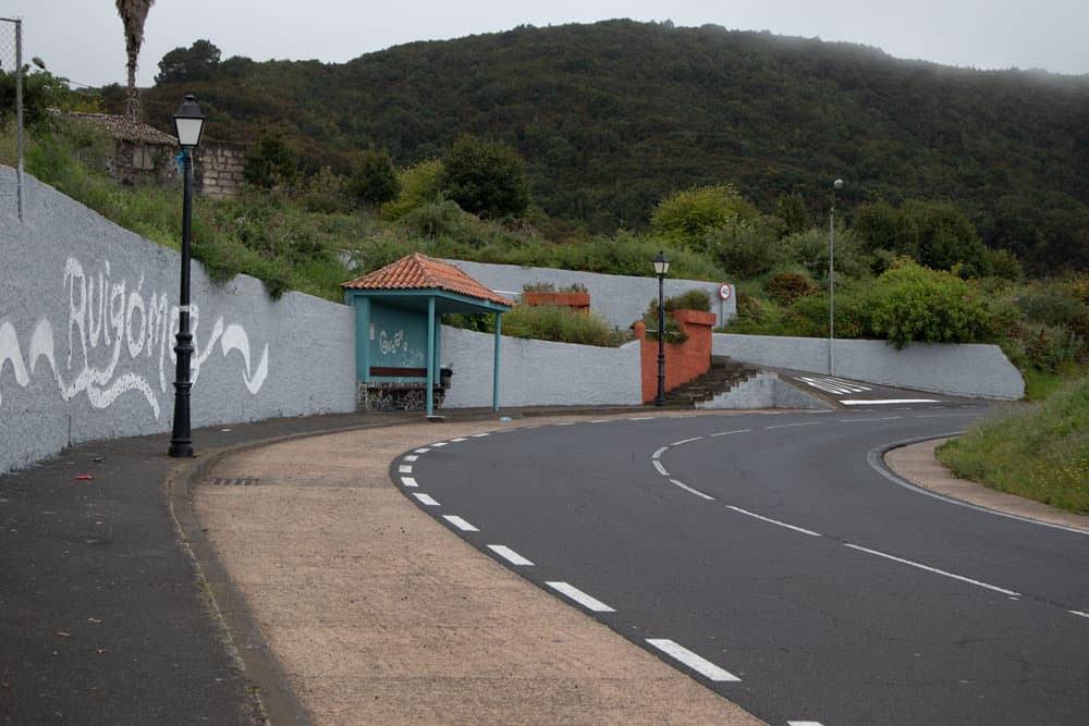
Ruigómez - starting point at the bus stop
Arrival by car
By car you can reach Ruigómez from the north in the direction of Santiago del Teide and from the south in the direction of El Tanque on the TF-82. A sufficient number of parking spaces are available at the roadside.
Arrival by bus
The Titsa bus lines 325, 392 and 460 stop in Ruigómez. You can find more information on the Titsa Homepage. Time
I don’t like to give general time information for hiking tours, because the times are very individual. We needed about 4 hours for this round trip with breaks.
Article summary and large selection of GPS hiking tracks
Sign up for my newsletter now and get exclusive access to my collected GPS tracks as well as all the brief information about my articles.
Sign up now
elevation profile of the hike around Ruigómez
Difference in altitude and distance
On this round tour, which is 14.5 kilometres long, approx. 600 metres of altitude difference have to be mastered.
Challenge
Basically, it is a simple round tour that can be easily mastered by everyone. You mostly walk on good hiking and driving paths. Because of the length, however, you should be a little fit.
Refreshment
There are restaurants and bars in El Tanque and Tierra del Trigo. In Ruigómez I haven’t seen a bar yet, but I don’t want to exclude the presence of one completely. Who knows more? Nevertheless, take enough water with you for the way.

signpost PR TF-53.1 to Cuevas Negras
Variants
This tour can be combined well with various other hiking and circular walks in the vicinity. If you think the tour is too long, you can divide it into two parts. The first section leads through meadows and fields and finally over the Lomo de Lisa ridge back towards Ruigómez. The second part leads down to Tierra del Trigo and back in a big round. Therefore, the whole tour is also easy to go in two separate walks.
But those who want to extend the hiking tour can also continue hiking from La Tierra del Trigo to the Cuevas Negras. You can find this hike described under the hike Cuevas Negras from Erjos to Los Silos (see there under variants). You can also find the hike through the water channel at the Cuevas Negras and the Hike Lomo Morín. 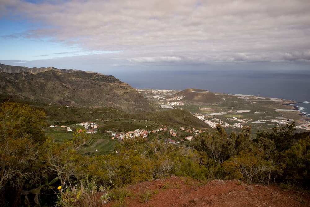
View from the ridge to the north coast of Tenerife
Circular walk around Ruigómez, El Tanque and Tierra del Trigo
Section Ruigómez to station building
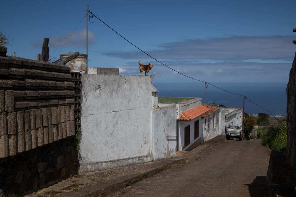
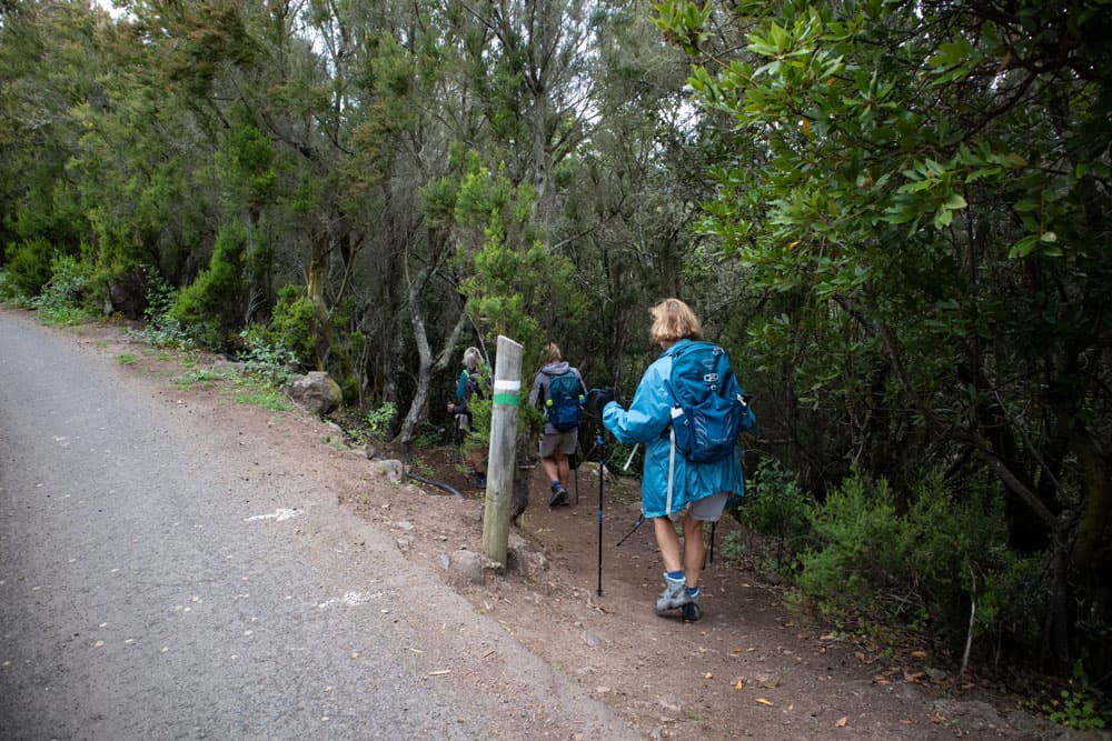
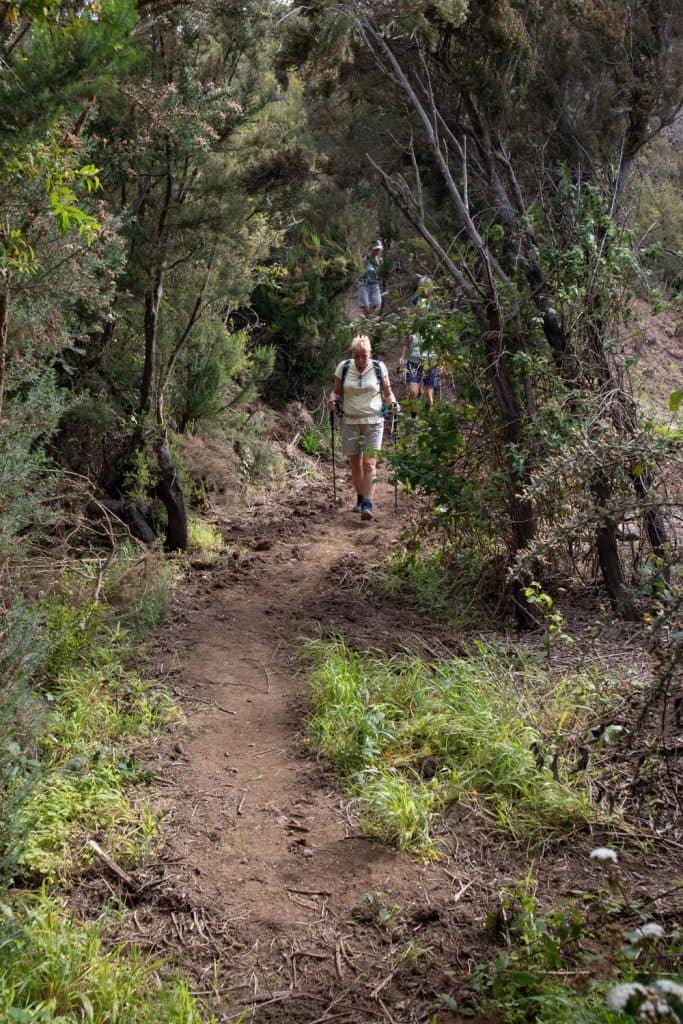
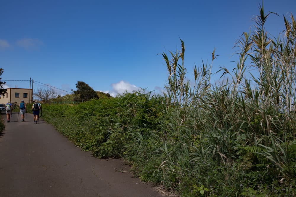
You start your walk at the bus stop on TF-82 in Ruigómez and walk about 20 meters towards Santiago del Teide. Then you cross the road. Follow the signs to the right and take the SL TF 151.3 path along the Ruta del Agua along a wide road. This will take you past some houses. The path then continues straight ahead through meadows and fields. After some time you leave the road on the right and go down a slope. You have a wide view of the meadows and fields around Ruigómez. From time to time you may come across some goats.
Ruigómez - hiking street with hikers
In a large arc the path finally takes you to a crossroads. From the left you will return later. Now keep to the right. You follow the path lined with bushes for a long time and ignore outgoing paths. After some time, marked with a post (green, white), the path turns left from the wide concrete road. A small path takes you down the slope into a valley. There is an old station building with rails.
hiking trail in the middle of fields close to Ruigómez
Section Station building to viewpoint El Tanque
You walk past the building and stay on the trail. Continue straight ahead on a wide dirt road between bushes, meadows and fields. Finally the path leads into a kind of crossroads. You go over the path that continues on the other side. After some time, the path leads into a path again. Now turn right. Later you will turn left in the second part of the hike. From now on you stay on the main path and keep to the right and ignore all paths branching off to the left.
hiking junction - marked with white and green
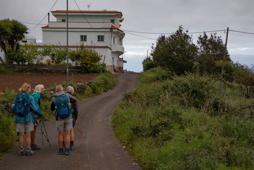
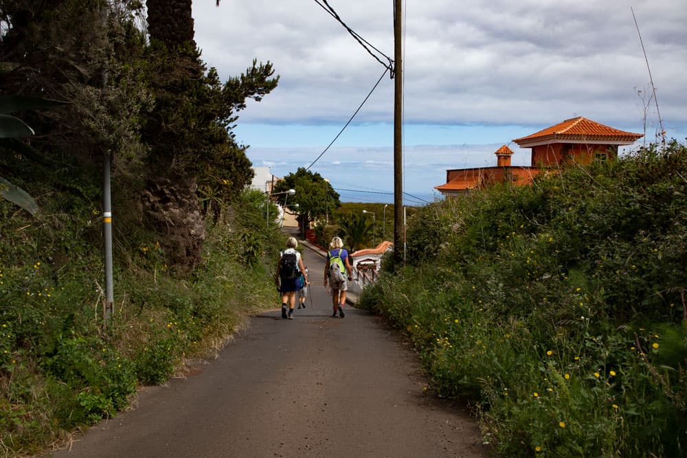
Then the path leads again briefly into TF-82 (Calle Doniz). Walk a few meters to the left and then follow the road downhill. Now you walk along a little used road for a while. This leads into Calle Asomada, which you follow down to the left. Then you are already in El Tanque. Again you come to the TF-82 and again you follow it only a few meters and then turn left on a road. Follow this road straight ahead. Keep left at a fork. Then a road branches off to the right to the vantage point. However, you turn left into the driveway.
Article summary and large selection of GPS hiking tracks
Sign up for my newsletter now and get exclusive access to my collected GPS tracks as well as all the brief information about my articles.
Sign up now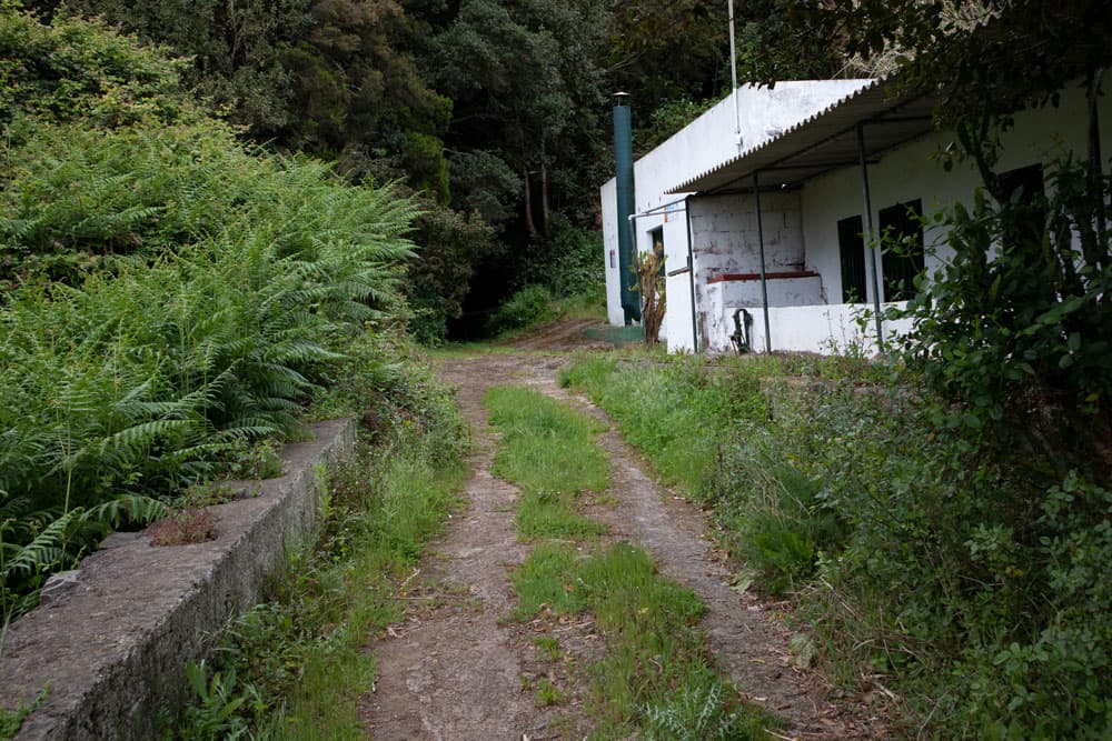
Hiking trail along an old station house
El Tanque section via Lomo de Lisa to the way there
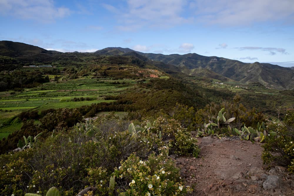
This road now leads you slightly uphill again. After a short time the small hiking trail branches off to the right. Follow it. Keep left at a fork. Now it goes through bushes steeply up to the Lomo de Lisa. After the quite steep ascent keep straight on the ridge path. You walk along the ridge for a very long time. You have fantastic views of the surrounding countryside from Ruigómez and El Tanque to the north coast of Tenerife.
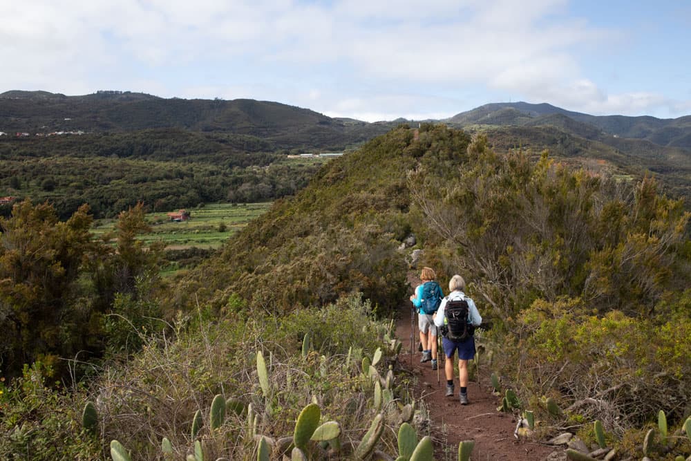
Hiking path over the ridge of Lomo de Lisa
On the other side you can see the valley around Tierra del Trigo and the mountain range with the Baracán. At the surveying column you have reached the summit of the mountain range at about 825 metres above sea level. Now it goes further with wonderful views on the narrow summit path partly quite steeply again downhill. After the descent you come from a wooded area on a wide field path. This will take you back to the path you hiked to El Tanque after a while. Now turn right. The first part of the double circular walk is behind you.
Hiking trail through bushes and cloud forest
Main road to La Tierra del Trigo
After a few metres you will reach the point where you came to the left. Now go straight on along the main path. Unless you already want to go back to Ruigómez. Then keep left and go back the way you came. Otherwise follow the wide path straight ahead for a very long time. This will take you through fields and finally into the forest. In very wide serpentines the path now goes downhill through the forest.
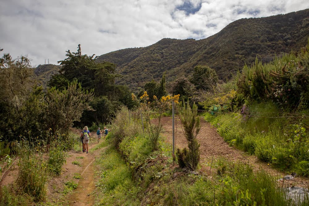
hiking path above La Tierra del Trigo and below the Lomo de Lisa
Then the path leads you straight ahead over a ridge for a very long time. If you continue straight ahead, you will come directly to La Tierra del Trigo. As you can see on the track, we have made an extra turn on the spot. This small path leads through vineyards and past pretty gardens. Finally you come back to the main road, which takes you straight on to Tierra del Trigo. Turn left before the church square. Perhaps you would like to take a break here on the cosy square or in a small bar.
yellow white marked hiking trail around La Tierra del Trigo
La Tierra del Trigo section to rest area
When you have seen enough of La Tierra del Trigo, follow the road past the church square. At the end turn left. When this road joins another road, turn right. But not very long, because after a short time a small path branches off to the right. This leads you in a wide arc through the Barranco el Til. On the slope side you go down a little and on the other side up again.

small resting place in front of the ascent path
The path now takes you uphill in wide arcs. It runs between meadows and fields. At a fork you keep to the right. In the upper part of Barranco el Til the path takes you a little further down into the Barranco valley. There is a small resting place. Maybe you need a little break before the next ascent.
view from the height
Section rest area to Ruigómez
Afterwards it goes up for a while on a small path very steeply the slope. The path ends at a small road. Now follow it to the right. It takes you further up with good views of the area around Tierra del Trigo. After you have walked almost once around the whole ridge with the road, it runs parallel to the Barranco el Salto deep below you. You will pass through the hamlet of Las Juncias. Then it continues upwards. Finally you reach the wooded area again.
hiking path on the street back to Ruigómez
You keep following the road. This will take you along the wooded slopes towards Ruigómez. After leaving the wooded area, you will cross a road after some time. Your path continues on the opposite side. Finally you arrive at a place where you came to the right on the way there and then went right. Now turn right here. The last part of the way to Ruigómez is the same as your way there. Always follow the path straight ahead, which will take you back to the starting point.

large potato field close to Ruigómez
And finally
I hope you enjoyed this great circular hike, which is actually more of an „eight“. Whether you will walk it in one piece or in two, you will decide for yourself. Anyway, I wish you a lot of fun hiking,
Dagmar von SiebenInseln