SiebenInseln Technical Assistance for Hiking on Tenerife
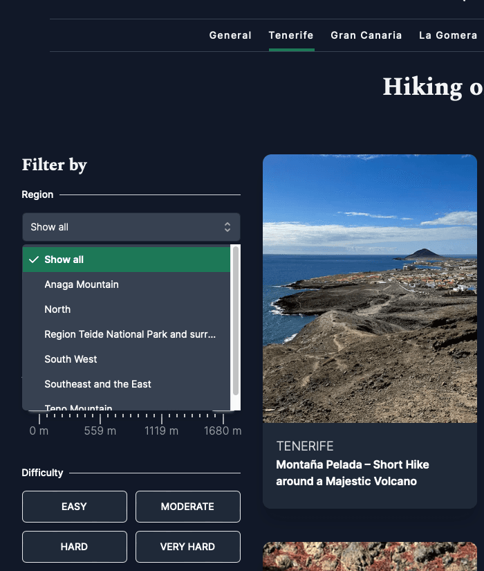
As I live on Tenerife, I am frequently exploring this island myself. Consequently, it’s not by chance that most of the hikes on SiebenInseln are focused on Tenerife. As I mentioned in the article about hikes in the Anaga Mountains, it could be overwhelming for someone unfamiliar with the area to navigate the hiking trails in Tenerife on SiebenInseln. To address this, SiebenInseln has six subcategories for hiking in Tenerife: the Anaga Mountains, the North, the Teide National Park and Surroundings, the Southeast and East, the Southwest, and the Teno Mountains. Moreover, on SevenIslands, you can filter hikes based on distance, elevation gain, and other criteria to gain a comprehensive overview. Additionally, you can choose to display your filtered results either as tiles with information or on a map with pins. Clicking on the pins provides a preview with brief information about the hike. That covers the technical assistance for hiking on Tenerife.
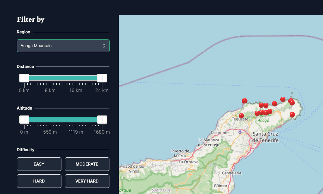
You can display your tours either as tiles or on the map with pinheads.
Overview of Categories for Hiking in Tenerife
To give you a better understanding of what each category entails for hiking on Tenerife on SevenIslands, I will introduce the individual categories in separate articles. So far, I have written about the Teno Mountains and the Anaga Mountains . Everything you want to know about hiking on Tenerife in these regions on SevenIslands can be found there. Today, I’d like to present the other four regions with some hikes.
Hiking in Tenerife - Teide National Park region
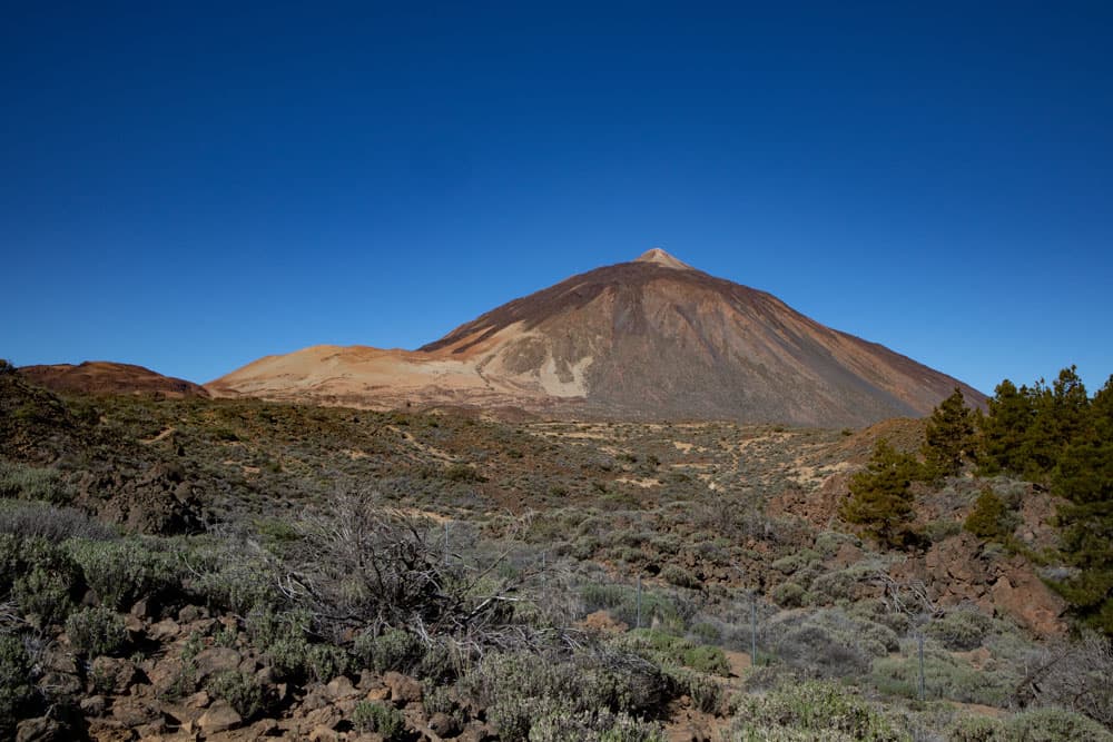
Teide and Montaña Blanca seen from El Portillo
Teide National Park and Surroundings
The Teide National Park region, with the highest peak Pico del Teide (3718 meters), is the most renowned area in Tenerife. Almost all tourists are drawn here to catch a glimpse of Teide and the impressive moon-like landscapes of the Cañadas. At around 2000 meters, you encounter the vast plain, the Caldera (Cauldron), which formed over 300,000 years ago when a volcano over 7000 meters high collapsed there. Later, the Teide, Pico Viejo, and other volcanic peaks, such as Guajara, formed in this region.
The landscape, with endless sand plains, towering volcanic rocks, and lava flows, is exceptional and has often served as a film backdrop. At this high altitude on Tenerife’s roof, you’ll find beautiful hikes for every taste and length. However, you’ll also encounter more and more tourists on the roads, making parking spaces scarce. Currently (2024), there is a discussion about introducing an entrance fee for the National Park in the future.
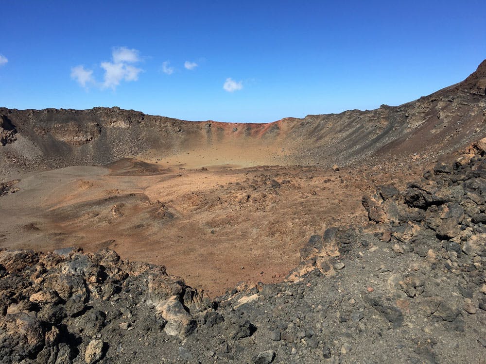
Hiking in Tenerife - summit hikes
the crater of Pico Viejo
Summit hikes in the Teide National Park and Surroundings

Hiking on Tenerife
the Guajara from the Parador

Hikers descending from the Roque del Almendro - Cresta de las Cañadas
Two long tours covering the entire heights of the Cañadas

Tenerife - Paisaje Lunar
Circular Hikes of All Lengths in the Teide National Park and Immediate Surroundings
- 1.0
- 2.0
- 3.0
- 4.0
- 5.0
- 6.0
- 7.0
- 8.0
- 9.0

Hiking on Tenerife
Big round tour Montaña Negra
Article summary and large selection of GPS hiking tracks
Sign up for my newsletter now and get exclusive access to my collected GPS tracks as well as all the brief information about my articles.
Sign up now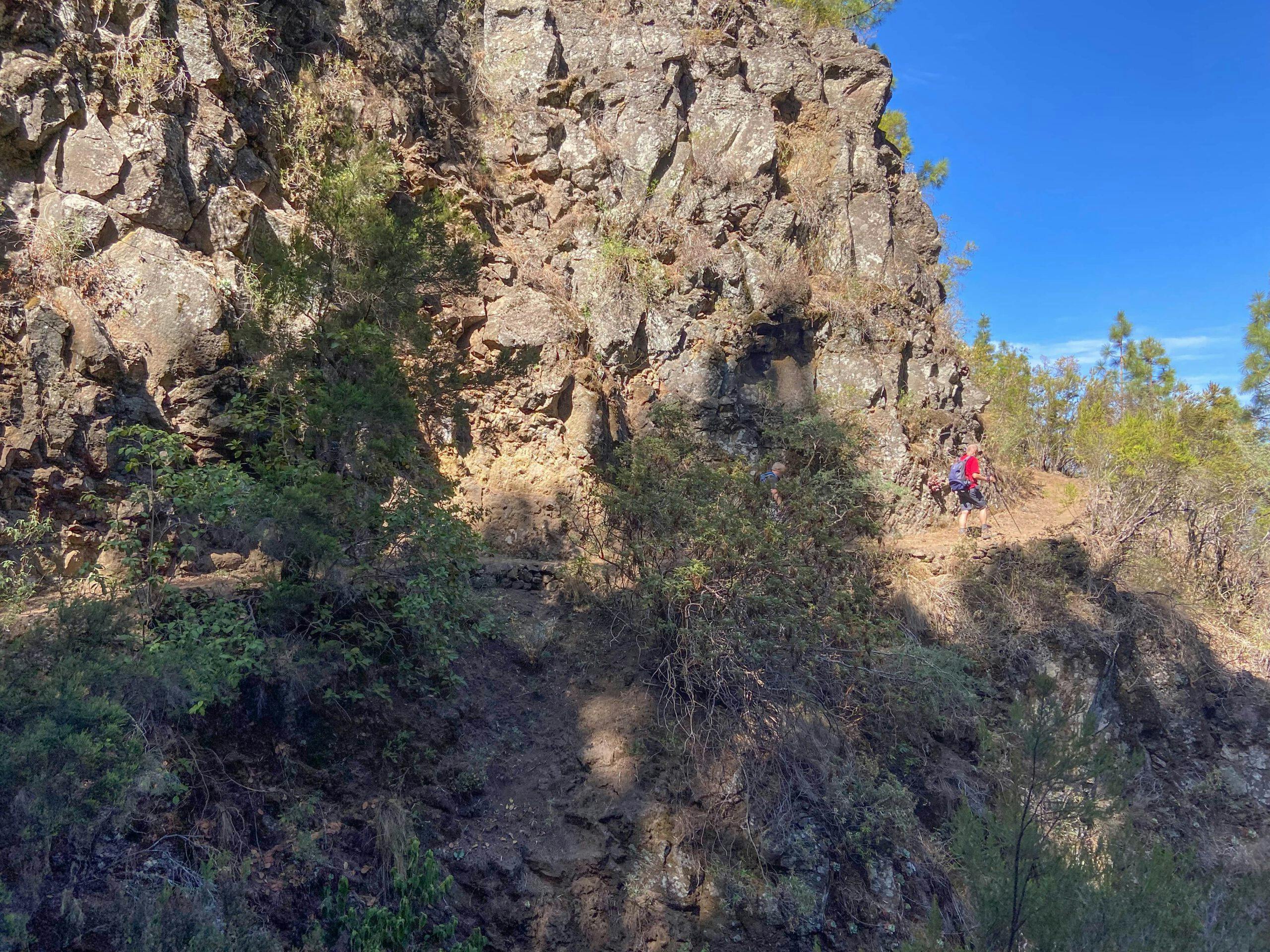
Hiking in Tenerife - Hikers on the Organos high trail
Forest and High-altitude Hikes near and on the Edge of the Teide National Park

Cueva del Viento - Helmets protect against contact with the ceiling in the cave
Themed Hikes

Hiking in Tenerife - Hiking trail near Las Barreras
The North
The northern side of Tenerife is also the greenest and most visually impressive side of the island in terms of vegetation. Here, there are vast banana plantations, extensive agricultural areas, and vineyards. However, the lush greenery is also a result of the trade winds depositing rain on the slopes, leading to more frequent precipitation. Diverse landscapes from the coast to the high Orotava Valley invite hiking.
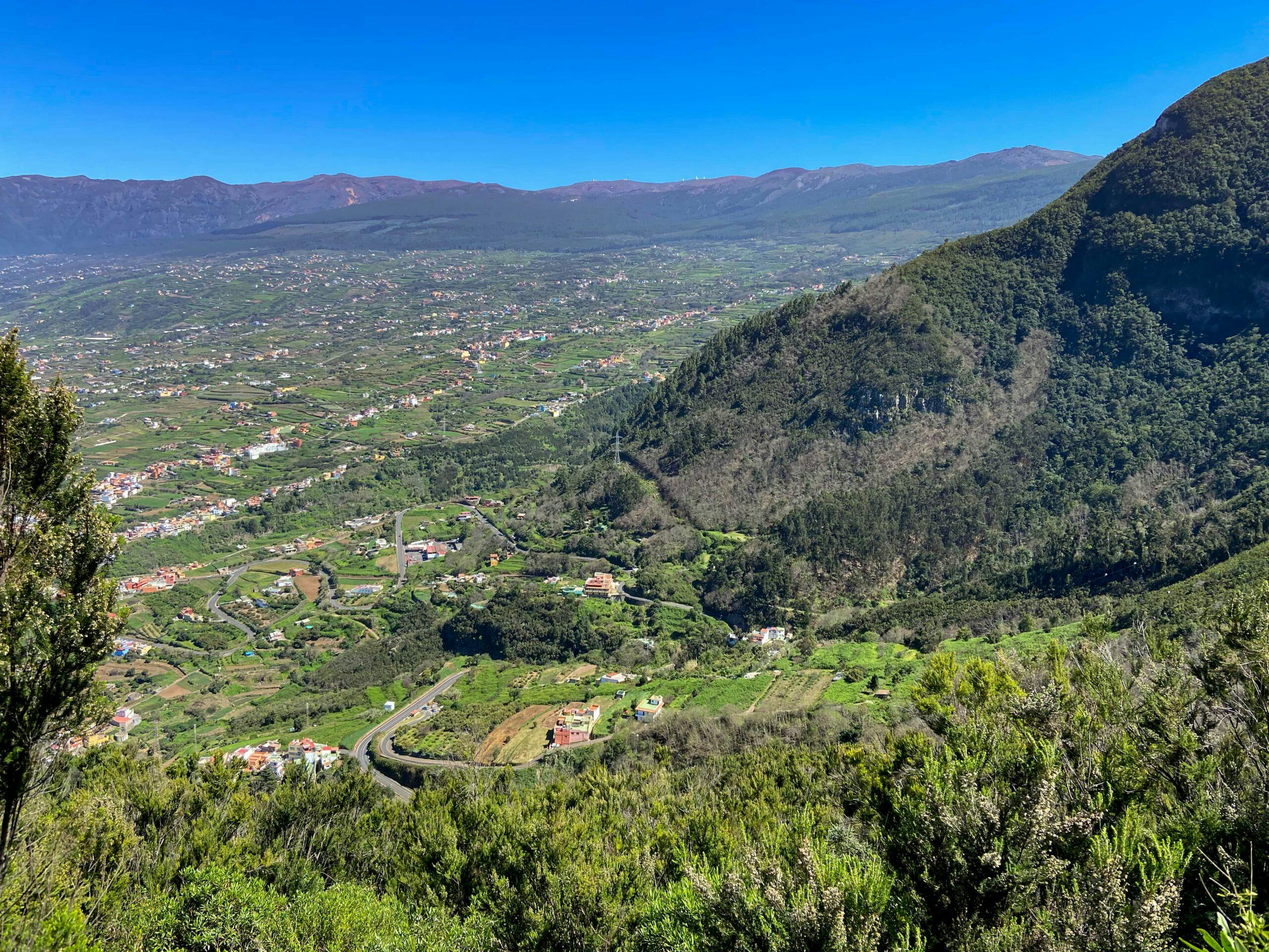
Hiking in Tenerife - Orotava Valley - View back from the ascent path to Mirador Corona
Hiking in the Orotava Valley

Barranco crossing near Los Realejos
Circular Hikes of All Sizes
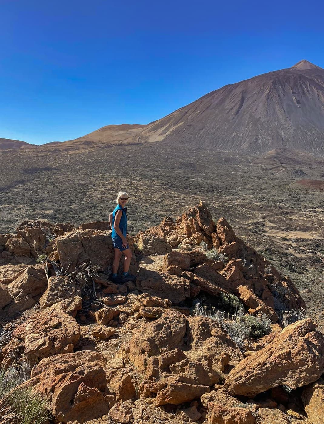
Hiking in Tenerife from Chanajiga to the Fortaleza
Summit Hikes

Hiker on the ridge path towards Esperanza forest from the east side of the island
The Southeast and East
The southeast side of the island is often a bit barren in the coastal region, with a lot of wind due to the drift between the islands of Gran Canaria and Tenerife. Nevertheless, you’ll find a landscape with its own charm. Agriculturally used areas alternate with impressive forests at higher altitudes. Additionally, there are countless ravines along the entire east side that offer beautiful hikes, and you can also enjoy coastal hiking.

Hiking on Tenerife - Ventanas de Güimar - "1000 ventanas" - there are actually only 93 of them
Summit Hikes and High-altitude Tours

Hiking trail along the rugged rocky slope
Circular Hikes of All Sizes
- 1.0
- 2.0
- 3.0
- 4.0
- 5.0
- 6.0
- 7.0
- 8.0
- 9.0
- 10.0
- 11.0
- 12.0
- 13.0
- 14.0
- 15.0
Article summary and large selection of GPS hiking tracks
Sign up for my newsletter now and get exclusive access to my collected GPS tracks as well as all the brief information about my articles.
Sign up now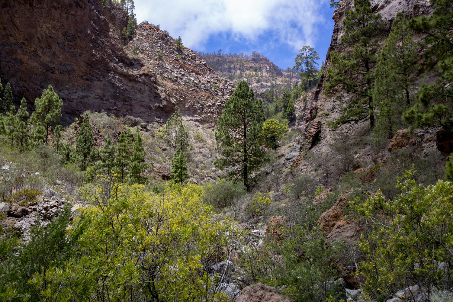
Barranco del Río - a side valley
Gorge Hikes

Hiking on Tenerife - Camino Real del Sur - view back to Arico
Long distance Trails
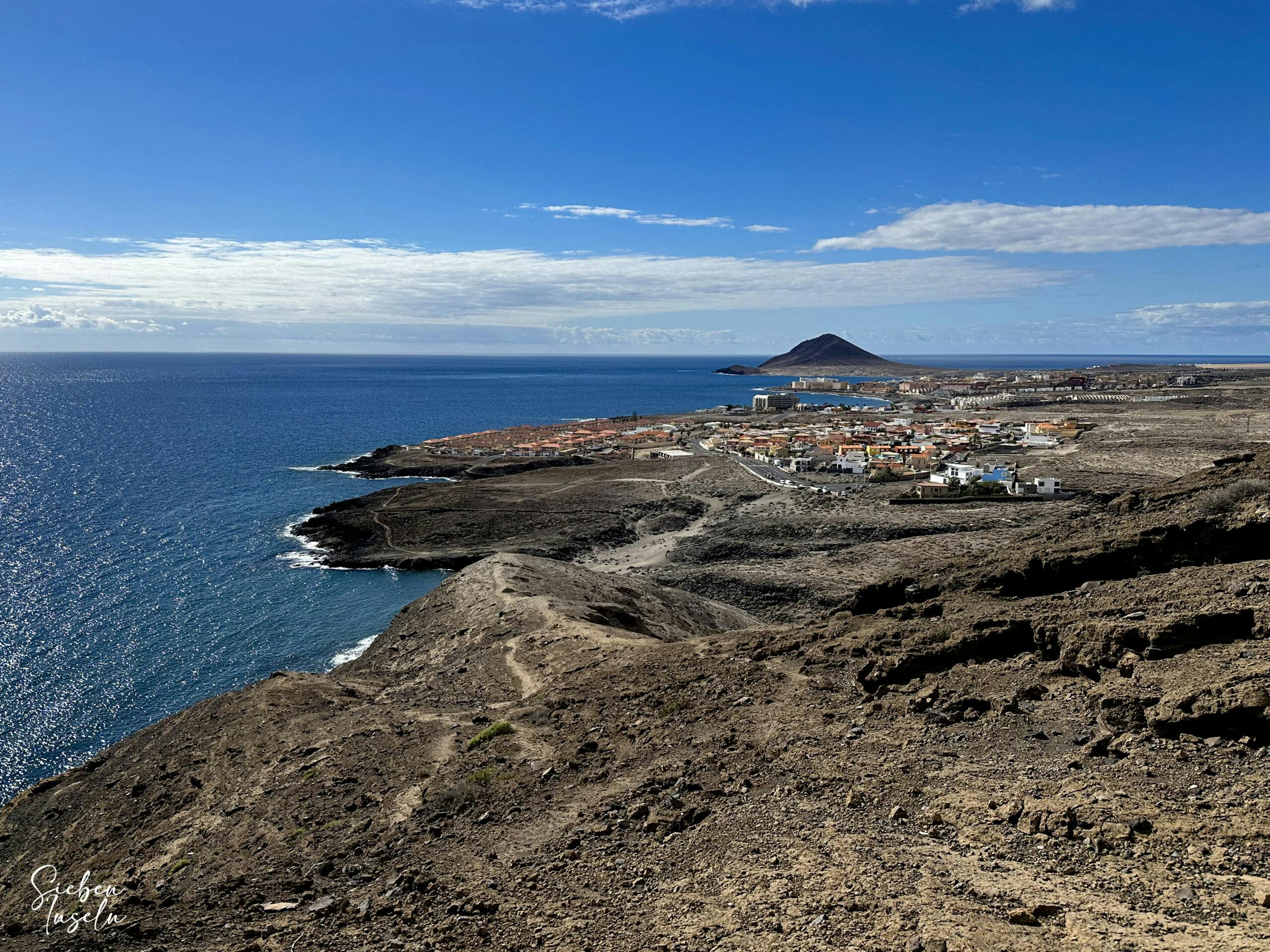
View from the Montaña Pelada towards El Médano
Coastal Hikes

Hiking in Tenerife - the south-west - view of Teide, Pico Viejo and Chinyero over the lava river
The Southwest
The southwest is, in a way, the transition from the barren south to the green north. You can hike along the coast, near the coast, and through the many small villages on the slopes in mostly sunny weather. Further into the higher altitudes, you’ll reach the pine forest and can undertake wonderful circular and ravine hikes at the foothills of Teide.
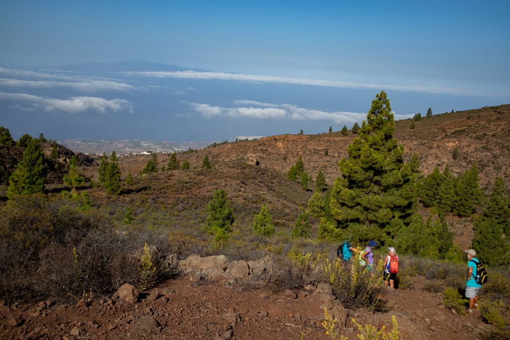
Hiking in Tenerife - on the slopes of the south-west coast
Circular Hikes of All Lengths and Heights
- 1.0
- 2.0
- 3.0
- 4.0
- 5.0
- 6.0
- 7.0
- 8.0
- 9.0
- 10.0

Barranco del Infierno
Gorge Hikes

Hiking in Tenerife - Ascent to the Conde
Summit Hikes
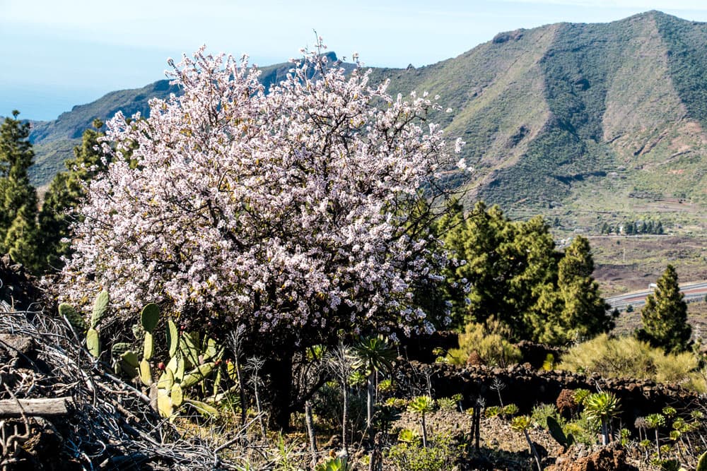
Hiking on Tenerife near Santiago del Teide - almond tree in bloom
Hike through Villages and Cities and Themes
And finally
I hope this list helps you navigate even better while hiking on Tenerife on SiebenInseln. However, if you use the overviews of the regions and the filters, it should hopefully work very well. In any case, I wish you much joy in all your hikes.
Dagmar from SiebenInseln
